Download
1 / 24
270 likes | 589 Views
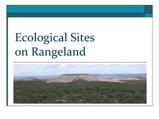
Ecological Sites on Rangeland. Ecological Site definition:. Ecological site = kind of land with: specific physical characteristics (soil, topography, climate) which differs from other kinds of land in its ability to produce distinctive kinds and amounts of vegetation

E N D
Ecological Site definition: • Ecological site = kind of land with: • specific physical characteristics (soil, topography, climate) • which differs from other kinds of land in its ability to produce • distinctive kinds and amounts of vegetation • In other words, a kind of land with similar natural potential. • Other stratification systems can be an have been used to described rangelands.
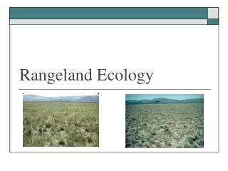
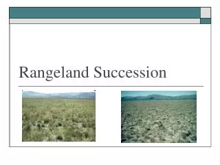
(Example 1) Ecological sites vary in kind and amount of vegetation
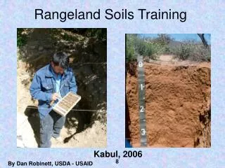
Ecological Sites – Based on Soil • Soil affects the type of plants that grow on the land. • Therefore, soil maps usually form the basis for maps of ecological sites. • Ecological Site Descriptions – can be found by starting with soil maps in the Web Soil Survey
Ecological Site Descriptions • Ecological Site Descriptions (ESD) are reports that describe the: • Biophysical properties of ecological sites • Physical, Climatic, Soil and Vegetation • Vegetation and surface soil properties of reference conditions • a) Pre-European vegetation and historical range of variation (in the United States) b) Proper functioning condition or potential natural vegetation • Ecosystem services provided by the ecological site and other interpretations
Important Concepts In Dividing the Landscape Spatial scale – what is a site? Temporal scale- how does change occur?
Regionswith similar climate, land use Geographicareaswith similar soils Similar landscapepatterns Groups of EcologicalSitesthat share landscapes Intermingledecologicalsitesor single site Individual representativeof thesite Anobservation of plant-soilrelationships
MLRAsdistinguishbroaddifferences in potential and types of ecologicaldynamics Non-native grass invasion, increased fire frequency, loss of native woody plants Non-native grass invasion, altered surface hydrology, reduced productivity Drought-triggered forest dieback Nonnative woody plant invasion Perennial grass loss, soil erosion, native woody plant dominance Native woody plant thickening, reduced fire frequency MajorLandResourceAreas USDA NRCS
The LRU (local climate, soils and geology) refines and supports MLRA concepts Gravelly soil (shallow, relict piedmont) Surface soil water limited, high risk for grass loss and erosion: vulnerable/restorable Limestone Grass protected by rocks, higher rainfall, good water capture: low risk Sandy soil (relict basin floor) Erodible surface soils once grasses removed: vulnerable/hard to restore Soil mapping units of the Jornada Basin (15 km) Loamy soil (active piedmont) Susceptible to water erosion and grass loss: vulnerable/restorable Clayey soil (basin floor) Receives water and sediment: low risk From Bestelmeyer et al 2010
Within LRUs are clusters of sites with similar parent material, but differing in landscape position Each site has a typical soil profile
A soil map unit can contain more than one ecological site because map units may contain components Map unit/components Ecological site ST: Stellar association 40% Stellar clay loam, 0-3% slopes = Clayey 40% Stellar clay loam, 0-3% slopes, flooded = Bottomland 20% other inclusions BK: Berino-Dona Ana association 50% Berino fine sandy loam, 1-5 % slopes = Sandy 30% Dona Ana fine sandy loam, 1-5% slopes = Sandy 20% other inclusions OP: Onite-Pajarito association 40% Onite loamy sand, 1-4% slopes = Sandy 30% Pajarito fine sandy loam, 0-5% slopes = Sandy 15% Pintura fine sand, 0-5% slopes = Deep sandy 15% other inclusions An ecological site groups several similar soil map unit components
Applications of EcologicalSites and EcologicalSiteDescriptions The utility of Ecological Sites is based on the ability to systematically stratify the landscape according to varying ecological potential
Uses of EcologicalSites and EcologicalSiteDescriptions Assess the risk of persistent degradation (undesirable change) and take proactive measures to avoid it Transition (T) Slow variables and triggers Chronic heavy defoliation coupled to multi-year drought events Threshold Black grama grass cover loss to < 3% and inability to recover continuity via vegetative growth
Uses of EcologicalSites and EcologicalSiteDescriptions Specify constraints to desired ecosystem change, estimate their probability of occurrence and devise contingencies
Uses of EcologicalSites and EcologicalSiteDescriptions Design and interpret monitoring based on expected responses to management or climatic changes.
Ecological Site Information Applications at Larger (LRU, MLRA and LRR) Scales • Narratives for states and communities contain indicator values and management • strategies to promote resilience. Knowledge of the amounts and spatial distribution • of these requirements can inform policies and programs
Land Use and Land Management Changes Can Alter Ecosystem Services Regardless of Land Use ECOSYSTEM SERVICES ECOLOGICAL SITE PROVISIONING food, fibre CLIMATE SUPPORTING water cycling, nutrient cycling, primary production GEOMORPHOLOGY ECOLOGICAL STATE HISTORICAL AND CURRENT MANAGEMENT PRIOR ECOSYSTEM SERVICES FUTURE ECOSYSTEM SERVICES LANDSCAPE POSITION CULTURAL educational, recreation, heritage SOIL PROPERTIES REGULATING climate, waste control, pollination From Brown and MacLeod 2011
Land cover/use classifications are increasingly useless in making policy decisions people change land use frequently ecological processes are much more complex and variable than a land use category resistance and resilience are vital to predicting ecosystem behavior landscape scale models require ecological process information to allow sites to interact