Download
1 / 7
80 likes | 88 Views
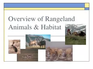
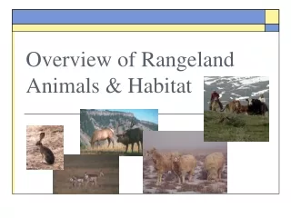
Day 1 – 10:00a PHASE I WRAP-UP -- Rangeland Burning on Private Lands – Technical Approach and EI Development. Rangeland Burning Overview. Quantify rangeland burning on federal, state, and private land Develop “strawman” document that defines emission inventory procedure

E N D
Day 1 – 10:00aPHASE I WRAP-UP-- Rangeland Burning on Private Lands – Technical Approach and EI Development
Rangeland Burning Overview • Quantify rangeland burning on federal, state, and private land • Develop “strawman” document that defines emission inventory procedure • Essence: Gather region-wide data for top-down method, fill in specific data where available • Proof of concept developed during Wyoming statewide agricultural emission inventory • Need peer review of strawman
Rangeland Activity: Layers • Top Down • Layer I: Region-wide Data Sources • Rangeland utilization at county level from 2002 NASS Census • Percent-burned factors and monthly allocation from ETT • Layer II: Sub-regional Data Sources • Rangeland utilization at county level from individual states • Bottom Up • Layer III: Summary Burn Activity Data • Burned acres estimates at county level by month from individual states or districts • Layer IV: Burn Event-based Activity Databases • Activity inventory of daily burn events from permit/tracking databases
Rangeland EI Steps • Collect NASS annual rangeland utilization by county • Apply most specific percent-burned factor available • Allocate burn activity to month of year • Allocate monthly subtotals to rangeland burning events • Assign event to specific day of month • Assign event to specific USGS LCC rangeland pixel in county
Rangeland Activity Compilation Percent Burned
Rangeland Burning Allocation Event Allocation Spatial Allocation Date Blackout