Download
1 / 27
270 likes | 367 Views
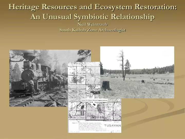
Heritage Resources and Ecosystem Restoration: An Unusual Symbiotic Relationship Neil Weintraub South Kaibab Zone Archaeologist. Catastrophic Fires: The Pumpkin Burn.

E N D
Heritage Resources and Ecosystem Restoration: An Unusual Symbiotic RelationshipNeil WeintraubSouth Kaibab Zone Archaeologist
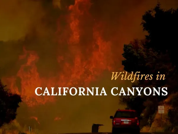
Catastrophic Fires: The Pumpkin Burn While we know that natural wildland fires have affected heritage resources in the past, today’s high intensity fires pose a much greater risk to the integrity of these traces of our cultural history.
Wildfires Damage Heritage Resources Despite firefighter efforts, the Pumpkin Fire consumed this cabin foundation near the top of Kendrick Mountain. Firefighters successfully saved the Historic Lookout Cabin at the top of Kendrick.
Changing Landscapes Near the point of origin, the fire scorched a Cohonina Pueblo. Prior to the fire, the site was covered by 8 to 12 inch diameter ponderosa pine trees associated with the 1919 seed crop. No stumps were located in the area suggesting that it was a grassland during the site’s occupation. As a result of this catastrophic fire, it is likely that the grassland will return!
Establishing Reference Conditions • Old Forest Remnants • Physical Remains of Old Trees • Dendrochronology • Palynology Physical Remains Cultural Evidence • Early Written Records • General Land Office Surveys • Forest Service Records • Oral Histories • Photographs • Prehistoric Settlement Patterns http://www.eri.nau.edu/implementation/ecological_restoration_establishing_reference_conditions.aspx
Historic Photographs • Historic photographs document the forest conditions prior to logging and grazing. • It is important to understand the management practices when re-photographing these areas.
Russell Tank 1863/1988 Ca. 1863 1988 The photo on the left shows a member of the Beale Wagon survey crew at Russell Tank, about 10 miles north of Ash Fork. Notice how the juniper trees have taken over the grassy flat.
Laws Spring Laws Spring is one of the few natural water sources on the west side of the Coconino Plateau. It was an important stop for prehistoric people as well as historic travelers.
Laws Hill 1868/1988 Notice how the pinyon pine and juniper have taken over Laws Hill.
Walker Lake 1875/2004 Notice the dramatic changes between the 1875 John Hillers photo and the 2004 photo. A wildfire in 1996 created the dead trees seen in the left hand side of the 2004 photo. Very little evidence of any management practices can be seen on the ground which makes this an important example of how our Forests have changed.
Hull Tank 1882/2002 Hull Tank is located near the South Rim of the Grand Canyon. It is one of the few water sources near the Canyon that is mentioned in historic documents. Today, oaks are now abundant and there are few gaps between the ponderosa pines.
Moqui Stage Station 1882/2002 The Moqui Stage Station was an important stop for early travelers visiting the Grand Canyon via stage coach. There are still the remnants of a water cistern and a cabin. Junipers have greatly encroached on the grasslands in this area. Notice how in the current photo tree spacing has been minimized.
Johnson Canyon Tunnel 1910/1992 Johnson Canyon is located about 10 miles west of Williams, Arizona. The Atlantic and Pacific Railroad Company originally chose Johnson Canyon as the route to get trains onto and off the Coconino Plateau in 1882. This route proved too treacherous for modern trains and was abandoned in 1960. The ponderosa pine trees seen in the 1910 postcard on the left are still alive in the drainage today. The most dramatic change is that scrub oak has filled the hill side in the recent photo on the right.
Crater Lake 1915/2004 Because Crater Lake is privately owned, few management practices have taken place there. Notice the remnants of the historic feature and the increased aspen and ponderosa pine trees in the background.
Route 66/I-40 1922/2003 Route 66 - 1922 I-40 - 2003 While few changes are evident in the foreground, notice how the grassland in front of Bill Williams Mountain is no longer visible in the 2003 photo.
Pine Springs Ranch 1937/2003 Note the small trees on the left hand side of the photo. In the 2003 photo, the trees have filled in and blocked the view of Bixler Mountain, Williams, Arizona. The tallest tree is now a snag hidden by the dense forest.
Pine Springs Ranch 1937/2002 Located just east of the prior photo shoot, little has changed in the vicinity of the Pine Springs Ranch. This is likely a result of the management practices including thinning around the private lands adjacent to the Forest.
Physical Remnants • Physical evidence of the early forests still remains and they include logging railroad grades and stump fields associated with the first wide scale logging of the forests. • Archaeologists document the logging railroad locations which may not have been mapped in the past. This helps establish when and how areas were cut.
Railroad Logging (1897-1936) The Saginaw and Manistee logging company used railroads to denude the South Kaibab of ponderosa pines between 1897 and 1936. When the Williams mill ran out of timber in 1928, operations turned north to the Tusayan Ranger District. The Saginaw and Manistee used the Grand Canyon Railway line between 1928 and 1936. To access the timber stands loggers simply laid ties and set down rail. As almost all rail was sold for scrap iron, only the wooden ties remain as evidence of this landscape changing logging practice.
Logging Railroad Grade Remnants Kaibab Archaeologists have now GPSed the locations and conditions of over 100 miles of logging railroad grades. These maps provide us clues about when and how the forests were logged. Based on the condition of these fire sensitive features, archaeologists determine their eligibility for the National Register of Historic Places and work with fuels specialists to protect them during projects.
Stumps High stumps are evidence of early logging practices. It was too difficult for loggers to use a cross-saw at the base of trees.
Barney Flat Stump Field Because the Barney Flat Stump Field is an important historic landscape, Kaibab National Forest Archaeologists successfully nominated it to the National Register of Historic Places. It is the only stump field on the National Register!
Barney Flat Existing Stumps Many foresters believe that pre-settlement Southwestern ponderosa pine forests contained 20-40 trees per acre. A detailed mapping of the Barney Flat Stump Field counted 300 stumps in a 40 acre are. This is less than 10 trees per acre.
Timber Atlases and Forest Maps • General Land Office Maps and Forest Timber Maps also provide a great deal of information on how and when Forests were logged. • Prehistoric settlement patterns may also reveal the changing nature of the forest.
Historic Maps Timber atlas maps provide historical information about when, where and in some cases, how much the Forest was logged.
Oral Histories • Archaeologists conduct oral histories with local ranchers whose families settled in the area. • Such histories can help us further understand historic land use and how the forests have changed.
Historic Springs (1940 Base Map) Historic Maps show far more numerous springs than exist today. In the Sitgreaves Mountain area several homesteaders eked out a living planting beans, corn, potatoes and wheat. According to local rancher Joe Clarke, many of the ranches were abandoned due to the water table dropping. At that point the homesteads were used seasonally for grazing operations.