Download
1 / 16
160 likes | 307 Views
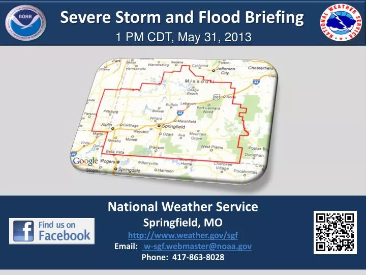
Severe Storm and Flood Briefing. 1 PM CDT, May 31, 2013. National Weather Service Springfield, MO http://www.weather.gov/sgf Email: w-sgf.webmaster@noaa.gov Phone: 417-863-8028. NWS Springfield . Forecast Highlights. Weather Prediction Center Fronts / Pressure / Weather.

E N D
Severe Storm and Flood Briefing 1 PM CDT, May 31, 2013 National Weather Service Springfield, MO http://www.weather.gov/sgf Email: w-sgf.webmaster@noaa.gov Phone: 417-863-8028
NWS Springfield Forecast Highlights
Weather Prediction Center Fronts / Pressure / Weather Tonight Slow eastward progress of cold front and stalled outflow boundary will allow several rounds of storm development. Saturday
Storm Prediction Center Outlook for Today
Storm Prediction Center Tornado Outlook Tonight Slow eastward progress of cold front and stalled outflow boundary will allow several rounds of rain Saturday
Storm Prediction Center Wind / Hail HAIL OUTLOOK WIND OUTLOOK
Rainfall Forecast Through Weekend 24-hour rainfall
Flash Flood Watch In Effect Through Saturday Morning
Contingency River Outlook Baxter Springs Contingency Outlook
Contingency River Outlook Shoal Creek near Joplin Contingency Outlook FS on Saturday Morning 16-16.5 Crest late Saturday and early Sunday (double crest)
Contingency River Outlook Elk River at Tiff City Contingency Outlook FS on Saturday Afternoon 23-24 Feet – Crest late Saturday / early Sunday
Contingency River Outlook Sac River at Caplinger Mills Contingency Outlook FS on Saturday Morning 22-24 Feet – Crest late Saturday evening
Contingency River Outlook Big Piney at Fort Wood Contingency Outlook FS early Saturday 17-19 Feet – Crest early Sunday
Contingency River Outlook James River at Galena Contingency Outlook Green – close to official Highest possible 27-29 feet Saturday afternoon
Decision Support Briefing Resources NWS Springfield: www.weather.gov/sgf Rainfall Forecast: http://www.wpc.ncep.noaa.gov/qpf/qpf2.shtml Storm Prediction Center:www.spc.noaa.gov Social Media: https://www.facebook.com/US.NationalWeatherService.Springfield.gov
Severe Storm and Flood Briefing 1 PM CDT, May 31, 2013 National Weather Service Springfield, MO http://www.weather.gov/sgf Email: w-sgf.webmaster@noaa.gov Phone: 417-863-8028