Download
1 / 14
140 likes | 221 Views
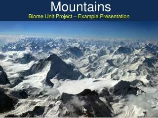
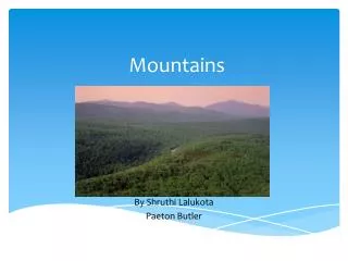
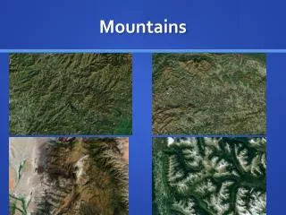
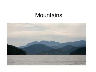
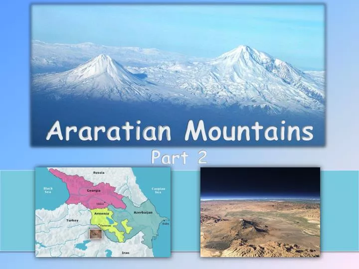
Araratian Mountains Part 2. The Area of Dissemination of Araratian Rock Arts. Araratian Mountains.

E N D
Araratian Mountains From Armenian to the Greco-Roman mythology and volcanic eruptions. Large red triangles show volcanoes with known or inferred Holocene eruptions; small red triangles mark volcanoes with possible, but uncertain Holocene eruptions or Pleistocene volcanoes with major thermal activity. Yellow triangles distinguish volcanoes of other regions http://www.volcano.si.edu/world/region.cfm?rnum=01
Araratian Mountains North Anatolian Fault and East Anatolian Fault, Bitlis-Zagros Fold and Thrust Belt
Araratian Mountains Tracing the Origins of Indo-European Languages.
Araratian Mountains Б В А А - The figures show the scheme of supply routes of obsidian, including obsidian mining areas and areas on the periphery, Б - Scheme of supply routes of obsidian, В - Location of the obsidian sources in AraratianMountains. (by C. Chataigner, O. Barge)
Araratian Mountains The area of distribution invariant protolanguage “thinking” (fractal consciousness, cognition) based on the “stone” speech (car, cr, cer, cor, kir, kur, kyur, gar, gr, ger, gor, gir, gur, guyr, har, hr, her and hor, hir, hur, hyur) (by G. Vahanyan).
Araratian Mountains The distribution map of the lakes, towns and cities with names from the root of the "Van“ in Armenia.
Araratian Mountains The area of dissemination of Araratian Rock Arts (by M. Farajova). The area of dissemination of Araratian Rock Arts (by K. Tochatyan). Area of dissemination of petroglyphs of South – Eastern Anatolia (Turkey), near Van. Map from Bolletino dell CCSP, Vol. Quatro, Capo di Ponte 1972(by prof.E. Anati).
Araratian Mountains The updated map of the spread of rock arts in the territory of historical Armenia, regions of Anatolia and Iran (by "Prehistoric Art of Anatolia” of prof. E. Anati.CCDSP, Volume Quatro, Capo Di Ponte, Brescia, Italy, 1972)
Araratian Mountains The origin and dispersal of species of livestock.
Araratian Mountains The integrated model of agricultural areas Neolithic culture in the Mediterranean basin.
List of maps From Armenian to the Greco-Roman mythology and volcanic eruptions. North Anatolian Fault and East Anatolian Fault, Bitlis-Zagros Fold and Thrust Belt. Tracing the Origins of Indo-European Languages. The figures show the scheme of supply routes of obsidian, including obsidian mining areas and areas on the periphery, scheme of supply routes of obsidian, location of the obsidian sources in Araratian Mountains. The area of distribution invariant protolanguage “thinking” (fractal consciousness, cognition) based on the “stone” speech (car, cr, cer, cor, kir, kur, kyur, gar, gr, ger, gor, gir, gur, guyr, har, hr, her and hor, hir, hur, hyur). (by G. Vahanyan). The distribution map of the lakes, towns and cities with names from the root of the "Van“ in Armenia. The area of dissemination of Araratian Rock Arts. (by K. Tochatyan). The area of dissemination of Araratian Rock Arts. (by M. Farajova). Area of dissemination of petroglyphs of South – Eastern Anatolia (Turkey), near Van. Map from Bolletino dell CCSP, Vol. Quatro, Capo di Ponte 1972 (by prof.E. Anati). The updated map of the spread of rock arts in the territory of historical Armenia, regions of Anatolia and Iran The origin and dispersal of species of livestock. The integrated model of agricultural areas Neolithic culture in the Mediterranean basin.
Thank you! Тo meet at the XXVIValcamonica Symposium...