Download
1 / 10
100 likes | 237 Views
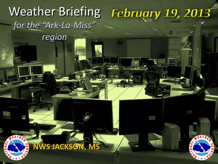
February 19, 2013. Weather Briefing for the “Ark-La-Miss” region. NWS JACKSON, MS. Overview. Active Weather Pattern to continue through the next week First potential for severe weather (highest south of Interstate Twenty) will come Thursday afternoon into evening

E N D
February 19, 2013 Weather Briefingfor the “Ark-La-Miss” region NWS JACKSON, MS
Overview • Active Weather Pattern to continue through the next week • First potential for severe weather (highest south of Interstate Twenty) will come Thursday afternoon into evening • Heavy Rainfall and potential flooding possible with Thursday system…but another big potential rain-maker is on the horizon for start of next week
Precipitation Reports from Monday and Monday Night (Daytime 2/18 through 2/19 Morning)
Most area Rivers and Streams accepted last night’s Rain without too much issue Pearl River and Basin still in flood many areas…but levels are falling
Thursday through Thursday Night
Heavy Rain Risk Thu-Fri
Decent Chance for Another Heavy Rain-Maker late Sunday through Monday
HPC Rainfall Expectations Thursday thru Saturday Night Thursday & Thursday Night Thursday thru Next Monday
Summary • Potential for Severe Storms (especially south of I-20) Thursday afternoon and Thursday Night • Heavy Rain and Flooding potential Thursday into Friday (but especially across southeastern portions of MS) • Another potent system with some potential for Heavy Rain and storms is possible early next week
Thanks for viewing NWS Jackson’s Multi-Media Weather Briefing! These briefings are usually given on Mondays and Thursdays. If you have any feedback or suggestions, please contact us at 601-936-2189 , or via Facebook at “US National Weather Service Jackson Mississippi”, or on Twitter @NWSJacksonMS