Download
1 / 30
310 likes | 417 Views
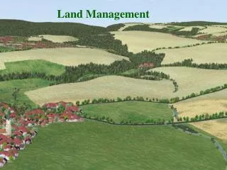
GIS Analysis in Land Management. Presented by: Jimmy West, The Schneider Corporation. Presentation Overview:. Creating Computer Generated Watersheds Use of Drainage Calculation Software to Assess Drainage with Parcels, Watersheds & Soils Layers. Accuracy….

E N D
GIS Analysis in Land Management Presented by: Jimmy West, The Schneider Corporation
Presentation Overview: • Creating Computer Generated Watersheds • Use of Drainage Calculation Software to Assess Drainage with Parcels, Watersheds & Soils Layers
Accuracy… • Fancy software does not equal accurate data • Additional data layers will only be as accurate as basemap • Parcels must be maintained and up to date through a known date – almost all GIS layers will refer back to ownership information
Software Used to Create Computer Generated Watersheds • ESRI – ArcInfo • ESRI – Spatial Analyst Tools
Data Layer Sources Needed for Computer Generated Watersheds • 2’ contours – seamless • Linear stream features – seamless and topologically correct
Computer Generated Watershed Raster Processes • Elevation Raster • Flow Direction Raster • Flow Accumulation Raster • Raster Streams Layer
Assumptions and Obstacles: …and 3 things to know about drainage • Assumptions • Water runs downhill • Water drains into streams • Obstacles • “Sinks” and “Peaks” • Culverts
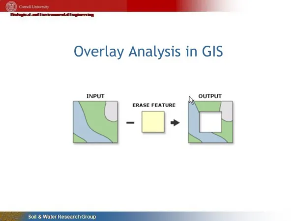
Creation of Computer Generated Watersheds • Hydrology Modeling extension is used to “burn in streams” and build watersheds using raster images created from contour data • Computer generated watersheds are merged/attributed to match County’s existing tiered administrative watershed system
Computer Generated WatershedsThreshold = 5000 Watersheds Computer Generated WatershedsThreshold = 500 Watersheds
Drain Calc Overview • Preparing Data For Use in Drain Calc • Multiple assessment methodologies • One rate per acre assessments • Proportional assessments
Range of Watershed Assessment Options • Flat rate per benefited acre • Setting minimum assessment amount(s) • Additional assessment options • Soils • Parcel class/landuse • Distance from hydrological features • other