Download
1 / 46
480 likes | 682 Views
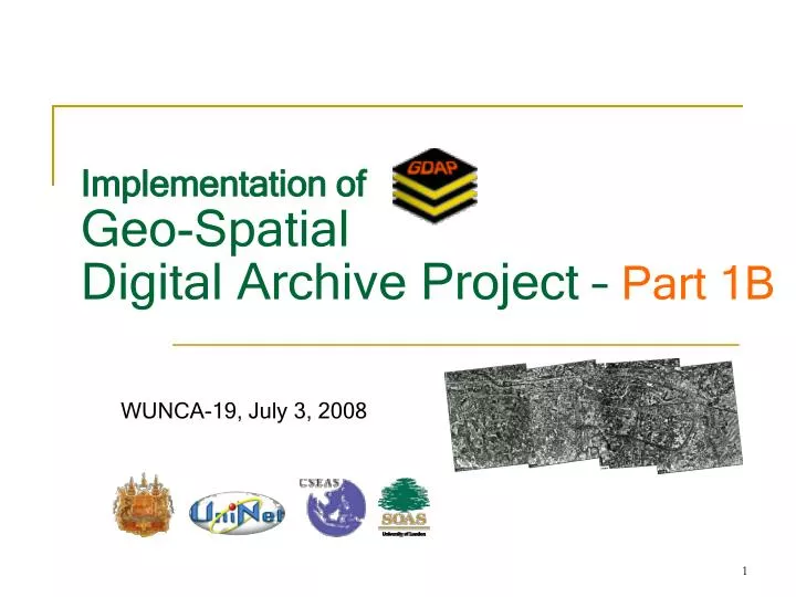
Implementation of. Geo-Spatial . Digital Archive Project – Part 1B. WUNCA-19, July 3, 2008. OUTLINE. Overview of GDAP Metadata for GDAP Implementation/Demo GDAP OpenLayer Conclusion/Questions. Overview of GDAP Geo-Spatial Digital Archive Project. By COL.Surat Lerlum surat@ait.ac.th

E N D
Implementation of Geo-Spatial Digital Archive Project – Part 1B WUNCA-19, July 3, 2008
OUTLINE • Overview of GDAP • Metadata for GDAP • Implementation/Demo • GDAP • OpenLayer • Conclusion/Questions
Overview of GDAPGeo-Spatial Digital Archive Project By COL.Surat Lerlum surat@ait.ac.th (Remote from University of Kyoto)
Sample Applications 3D View of Archaeological Site Map
GIS Database from Williams-Hunt Collection Aerial Photographs
GIS Database from Williams-Hunt Collection Aerial Photographs
Further Application of the GIS database For Management of Archaeological Sites
Original environment can be identified from the information of these aerial photographs
Original environment can be identified from the information of these aerial photographs
Original environment can be identified from the information of these aerial photographs
Urban Study Analysis at Sukhothai World Heritage Site 1995 1953
The aerial photo of Wat Sra Sri, Sukhothai from 1953 compared to 1995
The aerial photo of the reservoir on the north east corner of the city of 1953 comparing to 1995
Chiang Mai City • In the case study of Chiang Mai city, we utilized the aerial photographs from the 1946’s period from Williams-Hunt collection to compare to the current land use of the year 2000’s from high resolution satellite images, IKONOS, with 1 meter resolution. The two sources of data were geo-referenced to match each other in all area. • After the data set were prepared, the study can be conducted to identify the movement of the urban area. How the city was changed? By utilizing the old aerial photographs, we can identify the original water system inside and outside the city. • This is a very important topic to study since there are many cases that the new constructions did not consider the water ways in the city. These constructions caused the flooding inside the city when there were heavy rain fall. Only by utilizing this information together, we can study and identify the problem very effectively.
The geo-referenced aerial Photograph of Chiang Mai City from 1946
The geo-referenced IKONOS satellite image of Chiang Mai City in 2000
The geo-referenced aerial Photograph of Chiang Mai City from 1946
The geo-referenced aerial Photograph of Chiang Mai City from 2000
Land Use/Land Cover Study • In order to conduct the land use/land cover change study, we need to compare the land use of different periods. As mentioned previously, if we need to compare the land use/ land cover from the period that there is no satellite images available. For example, in the period of 1950’s or before that period, we have to utilize the old aerial photographs of the period of interest. Then the comparison can be made after we perform geo-reference processing to the aerial photographs with the new information, such as the satellite images that we will utilize. • By utilizing the information from these old aerial photographs, we can identify the land use/ land cover change of the study area. We can identify the area that had been converted to agriculture area after the period of 1946 when the old aerial photographs were taken. In order to study the series of change of the land use / land cover, we need to integrate information of the interval that we are interested, for example, the information in every 10 years period of the interested area.
Land Use/Land Cover Study • Phimai, Nakorn Rathchasima, Thailand • Phanom Rung, Burirum, Thailand • Angkor Area, Cambodia
The Landsat ETM image of Phimai, Nakorn Rathchasima province in Thailand from 1954 Forest Area
The Landsat ETM image of Phimai, Nakorn Rathchasima province in Thailand from 2002 Former Forest Area
The Landsat ETM image of Phanom Rung, Burirum province in Thailand from 2002
The aerial photographs from 1946 over Landsat ETM image of Phanom Rung, Burirum province in Thailand
The aerial photographs from 1946 over Landsat ETM image of Angkor Area, Siem Reap, Cambodia
GIS Database from WHC Aerial Photographs of Lopburi Province, Thailand
GIS Database from WHC Aerial Photographs of Nakorn Rathchasima Province, Thailand
GIS Database from WHC Aerial Photographs of Nakorn Pathom Province, Thailand
GIS Database from WHC Aerial Photographs of Bangkok , Thailand
Digital Archive • What is an archive? • What is a digital archive? • Why is it important? • Online Digital Archive - examples
Web Service Interface • Why web service? • Online collaboration, share • Statistics collection
Why WHC is special? • Aerial photos from WW2 • Never been exposed online • Only one in the world
Project Plan (1/2) • Obtaining data • Converting data, preparation • Database design -> Metadata • Archive into database • Interface design • Text-based interface • Mapping interface
Project Plan (2/2) • Inter-operability among digital archives • Integration of mapping and database • Resources used • Man Power: 4 computer scientists • Budget : UNINET • Time: 12 months
? Question for Part I Overview of GDAP COL.Surat Lertlum (remote from Kyoto University)