Download
1 / 14
140 likes | 145 Views
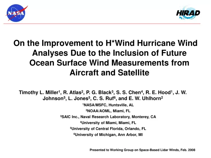
On the Improvement to H*Wind Hurricane Wind Analyses Due to the Inclusion of Future Ocean Surface Wind Measurements from Aircraft and Satellite. Timothy L. Miller 1 , R. Atlas 2 , P. G. Black 3 , S. S. Chen 4 , R. E. Hood 1 , J. W. Johnson 5 , L. Jones 5 , C. S. Ruf 6 , and E. W. Uhlhorn 2

E N D
On the Improvement to H*Wind Hurricane Wind Analyses Due to the Inclusion of Future Ocean Surface Wind Measurements from Aircraft and Satellite • Timothy L. Miller1, R. Atlas2, P. G. Black3, S. S. Chen4, R. E. Hood1, J. W. Johnson5, L. Jones5, C. S. Ruf6, and E. W. Uhlhorn2 • 1NASA/MSFC, Huntsville, AL • 2NOAA/AOML, Miami, FL • 3SAIC Inc., Naval Research Laboratory, Monterey, CA • 4University of Miami, Miami, FL • 5University of Central Florida, Orlando, FL • 6University of Michigan, Ann Arbor, MI Presented to Working Group on Space-Based Lidar Winds, Feb. 2008
Univ. of Michigan NASA Univ. of Alabama/Huntsville NOAA Univ. of Central Florida Hurricane Imaging Radiometer (HIRAD) • HIRAD utilizes NASA Instrument Incubator Technology: • Provides unique observations of sea surface wind, temp and rain • Advances understanding / predictability of hurricane intensity • Enhances Stepped Frequency Microwave Radiometer capabilities • Uses synthetic thinned array tech. of Lightweight Rain Radiometer • Employs sensor web tech. for innovative information management Existing 1980s Technology Simulated Observations Advanced Technology HIRAD in development Expert Team • Ms. Robbie Hood, PI NASA/MSFC Earth Science • Dr. Timothy Miller, Co-I NASA/MSFC Earth Science • Dr. Peter Black, 40 yrs, hurricane research • Mr. James Johnson, 30 yrs, microwave remote sensing • Dr. Linwood Jones, 35 yrs, microwave remote sensing • Dr. Christopher Ruf, 23 yrs, passive microwave technology • Mr. Eric Uhlhorn, NOAA Hurricane Research Division • NASA/UAH Engineering & Spacecraft Project Management 2000 km Swath • Passive Microwave C-Band Radiometer • Freq: 4, 5, 6 & 7 GHz, Version 1 H-pol for ocean wind speed, Version 2 dual-pol for ocean wind vectors • 11 km Aircraft Altitude Performance Characteristics • EIA: 0°- 60°, Spatial Resolution: 1-2 km, Swath: ~30 – 40 km • Observational Goals: • Wind Speed 10 - >85 m/s Rain Rate 0 - > 100 mm/hr
HIRAD Technology Investment Roadmap Satellite Demonstration of Improved Hurricane Ocean Surface Vector Winds and Rain Rate Unmanned Aerial Vehicle Demonstration (optional) Aircraft Demonstration Technology Transfer Operational Reconnaissance Hurricane Aircraft (optional) Technology Brassboard Demonstration in Laboratory
Univ. of Michigan NASA Univ. of Alabama/Huntsville NOAA Univ. of Central Florida Hurricane Imaging Radiometer Benefit of MSFC Investment HIRAD Team HIRAD Development Timeline
Motivation for HIRAD OSSE • High-resolution ocean surface wind measurements expected to give improvements in near real-time analyses of ocean surface wind speed • Specific product targeted: NOAA HRD H*Wind, regarded as “best analaysis” of hurricane near-surface wind; produced after reconnaissance aircraft • Would also expect improvement in numerical weather prediction, but that OSSE is beyond the present scope of work • OSSE requires “nature run” (i.e. high-resolution model forecast) to enable simulation of instrument observations, including hi-res details • Provided by Dr. Shuyi Chen, Univ. of Miami • Non-hydrostatic MM5, interactive ocean and wave models • Horizontal grid resolution 0.015 degrees (~1.5 km) for innermost nest • Case is Hurricane Frances, Aug-Sept 2004
Nature Run Wind Speed, Rain Rate = 20 mm/hr
H*Wind from “perfect” nature run datawind speed max = 125 knots
ConventionalSFMR, sonde, QuikscatMax. Obs. WS 110 ktsMax. Analyzed WS 109 kts
Hirad 3 kmHirad, sonde, QuikscatMax. Obs. WS 118 ktsMax. Analyzed WS 117 kts
Hirad 11 kmHirad, sonde, QuikscatMax. Obs. WS 122 ktsMax. Analyzed WS 121 kts
Hirad Satelliteonly (no A/C)Max. Obs. WS 105 ktsMax. Analyzed WS 105 kts
Quikscat, GOES (no aircraft)Max. Obs. WS 82 ktsMax. Analyzed WS 82 kts
Summary • HIRAD instrument will measure ocean surface wind speed (vectors in next phase) up to ~100 m/s through rain up to ~100 mm/hour. (Will also measure rain rate and temperature.) • Primary application considered: tropical cyclones; would presumably also be of value in mid-latitude storms • Does not measure low-speed winds (<~10 m/s) – not a replacement for scatterometer (or lidar), but rather complementary • “Quick” OSSE demonstrates positive impact on NOAA/AOML/HRD’s H*Wind analysis product • Adding swath width to current airplane capability would better define vortex, increase probability of capturing max wind • HIRAD satellite would provide excellent representation of vortex, even in the absence of reconnaissance aircraft (not true of scatterometer) • Possible future OSSEs will quantify impact on NWP