Download
1 / 22
230 likes | 447 Views
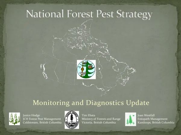
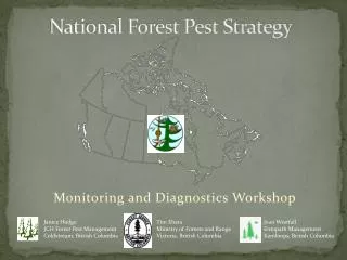
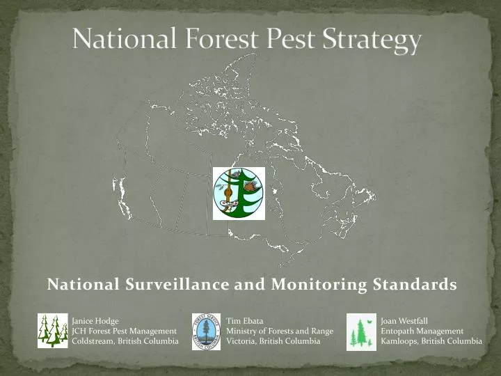
National Forest Pest Strategy. National Surveillance and Monitoring Standards . Janice Hodge JCH Forest Pest Management Coldstream, British Columbia. Tim Ebata Ministry of Forests and Range Victoria, British Columbia. Joan Westfall Entopath Management Kamloops, British Columbia.

E N D
National Forest Pest Strategy National Surveillance and Monitoring Standards Janice Hodge JCH Forest Pest Management Coldstream, British Columbia Tim Ebata Ministry of Forests and Range Victoria, British Columbia Joan Westfall Entopath Management Kamloops, British Columbia
Objectives • Identify compatibilities and define methods for data standardization. • Recommend a forest health monitoring regime to address monitoring gaps. • Identify data format requirements for inclusion into the National Forest Pest Information System.
Data standardizaton: Previous Conclusions • Developing national ground plot standards for collecting and reporting data are not appropriate due to differences in pest behavior, host types, etc. Outstanding Tasks • Develop algorithms to convert ground plot data into a common reporting format in collaboration with IIM • Update monitoring matrix with new information (ex. lure formulation) and update compatibilities.
Data Standardization Standardization of aerial survey categories ?
Data Standardization Standardization of pest codes and host species codes ? • Only a few provinces have pest codes (BC 3 letter codes) ex. IDW = Insect, Defoliator, Western spruce budworm could be expanded to 4 letters to accommodate hardwoods IDCW = Insect, Defoliator, Conifer, Western spruce budworm IDHF = Insect, Defoliator, Hardwood, Forest tent caterpillar • Host species coding • Presently no consistency between provinces • 2001 CANFI numeric coding ? • 2006 NFI coding – genus + species ?
Forest Health Monitoring regime • Collected data required to identify monitoring gaps: • Information on location of monitoring plots, type of plots (PSS or PSP), MFD sampled, and monitoring frequency. • Information on spatial extent of aerial surveys. • Participation by all Provinces and the Yukon • Data in shapefiles, Access or Excel • Cross-referenced with monitoring matrix • Imported into ArcMap and geodatabase
Ground Monitoring Summary • Some P/T’s submitted data spanning a number of years
Ground Monitoring Summary 1 Some may be assessed annually but are not considered annual plots. * Yukon did not report any monitoring sites
Ground Monitoring Sites Spatial Distribution
Ground Monitoring Sites Monitoring Frequency
How well are we monitoring our 'forests'? • Forest as defined by Canadian National Forest Inventory 2001 is a CANFI cell where forested land is the dominant feature.
Ground Monitoring
How well are we monitoring at an ecosystem-level? • NFPS - ecosystem-based reporting • Ecozones somewhat similar to Forest Regions of Canada • Ecozones as defined by the National Ecological Framework for Canada are: “ an area of the earth’s surface representative of large and very generalized ecological units characterized by interactive and adjusting abiotic and biotic factors.” • Ecozones used in NFI stratification
Ground monitoring (annual and variable) summary by Forested portions of Ecozones
Monitoring Summary • Gaps in Northern Canada and urban areas • Low percentage of plots monitored annually • Majority of ground monitoring plots are pest specific; very few at an ecosystem or forest type level ex. CIPHA. • Although some ecozones appear adequately monitored (proportional representation) the spatial distribution may not be adequate.
Moving Forward • What attributes should be collected in the better and best scenario ground plots? • Fixed radius plots? No tagging. • Is remote sensing a feasible and reliable option for remote areas? • northern Canada predicted to have greatest warming due to climate change • For the best scenario how do we stratify the landbase? Ex. proportional by ? (forest type, ecozone, host species)
Acknowledgements Many thanks to all participants whom contributed to this process.