Download
1 / 8
130 likes | 412 Views
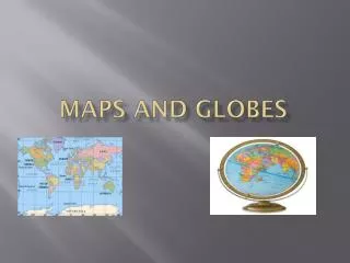
MAPS AND GLOBES. By Samantha Hepburn [captain] Breann gibson [captain]. DEFINITION OF A MAP AND GLOBE.

E N D
MAPS AND GLOBES By Samantha Hepburn [captain] Breanngibson [captain]
A map is defined as a representation, usually on a flat surface, of a whole or part of an area. The job of a map is to describe spatial relationships of specific features that the map aims to represent. There are many different types of maps that attempt to represent specific things. Maps can display political boundaries, population, physical features, natural resources, roads, climates, elevation (topography), and economic activities. • A globe is a small model of the Earth. It shows the continents and the oceans of the Earth on its surface. A globe spins on an axis. A globe's axis is a metal stick stuck through its center. A globe has an axis so that it can show how the Earth spins in space. The Earth has an axis, too, but it doesn't spin on a metal stick. The Earth's axis is an imaginary line drawn through its center from its North Pole to its South Pole.
Maps can be drawn to represent a variety of information. This information might include things such as roads, tourist attractions, and campgrounds, or they might represent the latest weather patterns. The objects on a map are represented using symbols. A symbol is a picture on the map that represents something in the real world. Understanding these symbols requires the use of a key. Maps use a key, or legend to explain the meaning of each of the symbols used in the map. These keys usually show a small picture of each of the symbols used on the map, along with a written description of the meaning of each of these symbols.
A compass rose, sometimes called a windrose, is a figure on a compass, map, nautical chart or monument used to display the orientation of the cardinal directions — North, East, South and West - and their intermediate points. It is also the term for the graduated markings found on the traditional magnetic compass. Today, the idea of a compass rose is found on, or featured in, almost all navigation systems, including nautical charts, non-directional beacons (NDB), VHF omnidirectional range (VOR) systems, global-positioning systems (GPS), and similar equipment and devices.
WE HOPE YOU LEARNED A LOT TODAY AND IF YOU DID THAT’S GREAT!!!!!!!!!!!!!!!!!!!!!!!!