Download
1 / 16
160 likes | 297 Views
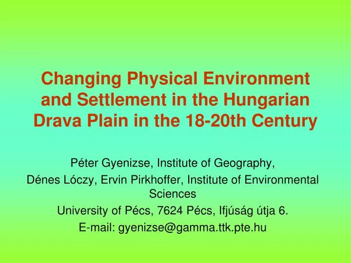
Changing Physical Environment and Settlement in the Hungarian Drava Plain in the 18-20th C entury. Péter Gyenizse, Institute of Geography, Dénes Lóczy, Ervin Pirkhoffer, Institute of Environmental Sciences University of Pécs, 7624 Pécs, Ifjúság útja 6. E-mail: gyenizse@gamma.ttk.pte.hu.

E N D
Changing Physical Environment and Settlement in the Hungarian Drava Plain in the 18-20th Century Péter Gyenizse, Institute of Geography, Dénes Lóczy, Ervin Pirkhoffer, Institute of Environmental Sciences University of Pécs, 7624 Pécs, Ifjúság útja 6. E-mail: gyenizse@gamma.ttk.pte.hu
Ormánság Since the 13th century: between the Almás and Okor steams and the Drava river Origin of the name: Finno-ugric ormo = emerging ridge or Turkish orman = forest
Geomorphological districts Pécs Basin Fekete-víz and Pécsi-víz alluvial fan Ormánság mounds Drava floodplain
Landscape history • latest colonization in South-Transdanubia • more than 1000 km2 inundated during Drava floods • swamps: protection during the Mongolian Invasion and Turkish Occupation Okor stream Almás stream Gyöngyös stream Pécsi stream
Changing landscape Changes in the Fekete-víz drainage basin (after Erdősi, F. 1977) 1 = stagnant water at the beginning of the 19th century; 2 = water-mills; 3 = stream channel at the beginning of the 19th century; 4 = braided channel across marsh at the beginning of the 19th century; 5 = artificial channel reach formed since the middle of the 19th century; 6 = former reach abandoned during artificial diversion Promjene u sljevnom području Fekete-víza (prema Erdősi, 1977) 1 = stagnirajuća voda na početku 19. stoljeća; 2 = vodenice; 3 = korita na početku 19. stoljeća; 4 = prepletena korita u močvarnom području na početku 19. stoljeća; 5 = umjetni kanal izgrađen od sredine 19. stoljeća, 6 = napušteni dio kanala nakon umjetnog skretanja
Bogdása church Functions by altitudinal zones • below 95 m: permanent waterlogging – fishing • ca 95-97 m: seasonal waterlogging – gathering • ca 97-100 m: forest – stock breeding, foddering • above ca 100 m: arable farming, settlements Vertikalne zone korištenja zemljišta Ormánság-a floodplain forest
Settlement density in the Árpád Age (until the 14th century) (by Péter Gyenizse)
Microtopography, drainage and settlement Nagycsány viewed from church hill
Planform changes in Sellye, 1784-1991 (by Péter Gyenizse) Topografija okolice Sellye i promjene u izgrađenom području
Pécs Szigetvár Szentlőrinc Sellye Harkány Siklós Population changes in South-Transdanubian settlements, 1784-1870 (1784 = 100%) (by Péter Gyenizse)
Pécs Szigetvár Szentlőrinc Harkány Sellye Siklós Population changes in South-Transdanubian settlements, 1870-1941 (1870 = 100%) (by Péter Gyenizse)
Shrinking forests,1784-1880 (by Péter Gyenizse, from maps of Miltary Surveys)
Population changes in South-Transdanubian settlements, 1941-1990 (1941 = 100%) (by Péter Gyenizse)