Download
1 / 13
130 likes | 229 Views
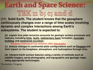
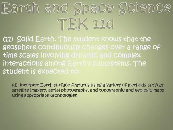
Earth and Space Science TEK 11d. (11) Solid Earth. The student knows that the geosphere continuously changes over a range of time scales involving dynamic and complex interactions among Earth's subsystems. The student is expected to:.

E N D
Earth and Space Science TEK 11d (11) Solid Earth. The student knows that the geosphere continuously changes over a range of time scales involving dynamic and complex interactions among Earth's subsystems. The student is expected to: (d) interpret Earth surface features using a variety of methods such as satellite imagery, aerial photography, and topographic and geologic maps using appropriate technologies
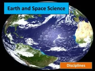
Interpreting Earth’s Surface Satellite Imagery Satellite imagery consists of photographs of Earth made by means of artificial satellites. Mt. Cotopaxi Satellite images have many applications including meteorology, geology, forestry, intelligence and warfare. Images can be in visible colors and in other spectra, such as infrared. There are also elevation maps, usually made by radar images. Interpretation and analysis of satellite imagery is conducted using specialized remote sensing applications. Some of the first image enhancement of satellite photos was conducted by the U.S. Government and its contractors. Satellite imagery is also used in seismology and oceanography in deducing changes to land formation, water depth and sea bed, by color caused by earthquakes, volcanoes, and tsunamis. The transceiver, in turn, relays the message via a satellite data link to a control centre onshore. Satellite photography can be used to produce composite images of an entire hemisphere or to map a small area of the Earth, such as this photo of the countryside of Haskell County, Kansas, United States.
Interpreting Earth’s Surface Ariel Photography Aerial photography is the technique of capturing photographs of the land from an elevated location. This type of photography usually refers to photographs which are taken when the camera is not supported by a ground-based structure. The camera in aerial photography may be hand held or mounted, and photographs may be taken by a photographer, triggered remotely, or triggered automatically. Aerial photography can produce some very inspirational photographs that provide us a beautiful view of our Earth’s surface from a perspective that we never see.
Aerial Photography in Science Unlike maps, which portray the physical and cultural landscape with generalized symbols and colors, aerial photography reveals the terrain as it exists in nature. All buildings, bridges, roads, urban and rural areas, and other man-made features are depicted as they were at the time of photography. Physical features, such as vegetation type and distribution, river widths and courses, shorelines, landslide areas, etc. are shown with detail that no map can depict. Aerial photography is extremely useful both for site evaluation and for regional analysis, as well as for historical perspectives. It is used by engineers, architects, city and regional planners, geographers, geologists and historians.
How can we use infrared light in satellite imaging? Describe passive vs. active satellite sensing. Aerial photography can be accomplished both by an actual photographer, or _____________, using robotics. What are two positives of using aerial photography over some other surface interpretation technique?
Interpreting Earth’s Surface Topographic Maps A topographic map, also known as a topo map, is a map which shows changes in elevation by using contour lines. Contour lines are imaginary lines that join points of equal elevation on the surface of the land above or below a reference surface such as average sea level. Contour lines make it possible to show the height of mountains, depth of the ocean bottom, (on a special topo map known as a bathymetric map) and steepness of slopes on a topo map. To visualize what a contour line represents, picture a mountain (or any other topographic feature) and imagine slicing through it with a perfectly flat, horizontal piece of glass.
The contour interval is the difference in elevation between two adjacent contour lines on a topo map. You can determine the contour interval by counting the number of contours between labeled index contours and then by using this formula: For example, on the map shown here, you can see that there are 15 contour lines between the 2400 index contour and the 1800 index contour. So the contour interval is calculated as follows: The Contour Interval Contour Interval: 40 ft.
Things to Remember… 1919 Close line =Steep Slope The steepest slopes on the map can be seen by looking for lines that are very close together. Since each line represents a change in elevation of a set amount (20 meters in this example), lines that are close together indicate steep gradients. The area circled in red is very steep, because it has many lines crowded close together. Contour lines bend upstream when crossing a river Since contour lines must remain at the same elevation, they must bend when they cross riverbeds. A riverbed drops downward, so the contour line must bend uphill to stay at the same elevation. The highlighted lines show that the direction of the Mill River must be northeast. Highest possible elevation of a hill The highest elevation of a hill can be calculated by finding the last (highest) contour line on that hill, and then figuring out the next line that would be drawn. The highest possible elevation of the hill is just below the value of that next line. The highest possible elevation of the hill indicated by the arrow is 239 meters. The last line indicated on the map is 220 meters. The next line would be 240 meters (remember that the contour interval is 20 meters). Since there is no 240 meter line, the hill cannot be higher than 239 meters! Depressions are shown by small marks pointing inward off the contour line The arrow is pointing to a depression, or hole. The contour line with the marks, or hatchers, has the same elevation as the line before it. In this case the hatchered line has a value of 140 meters, and the depression must be less than 140 meters. Present Day • One of the most important sources of information on a topographic map is the date of revision. Although large scale topographic features (such as mountains) take millions of years to be formed and eroded, other features, such as volcanoes and river channels, may change on a much more rapid scale. • volcanic eruptions, flooding, landslides may alter topography significantly, roads are added or go out of use, etc.
Interpreting Earth’s Surface Geologic Maps • Geologic maps, like all maps, are designed to show where things are. • Unlike the maps we are used to which show the distribution of roads or rivers or county boundaries, a geologic map shows the distribution of geologic features, including different kinds of rocks and faults. • A geologic map is usually printed on top of a regular map (called a base map) to help you locate your location on the map. The base map is printed with light colors, so it doesn’t interfere with seeing the geologic features on the map. • The geology is represented by colors, lines, and special symbols unique to geologic maps. Understanding these features will allow you to understand much of the geology shown in almost any standard geologic map. The most striking features of geologic maps are its colors. Each color represents a different geologic unit. A geologic unit is a volume of a certain kind of rock of a given age range. So a sandstone of one age might be colored bright orange, while a sandstone of a different age might be colored pale brown.
Geologic Map Symbols Although the geology of every area is different, all geologic maps have several features in common: colored areas and letter symbols to represent the kind of rock unit at the surface in any given area, and lines to show the type and location of contacts and faults.
Local Geologic Map The geology of an area has a profound effect on many things, from the likelihood of landslides, to the availability of groundwater in wells, from the amount of shaking suffered in an earthquake, to the presence of desirable minerals, from the way the landscape is shaped to the kinds of plants that grow best there. Understanding the earth underneath is the first step in understanding the world around us. So what’s the geology like in your neighborhood?
___________ on topographic maps are lines that join points of equal elevation. One contour line is at 4,000 meters, and another, higher up the mountain, is at 5,600 meters. There are 8 contours crossed between the two. What is the contour interval? On a contour map, the ___________ the lines are together, the _____________ the slope. Calculate the contour interval on this map, in meters, and determine the highest possible elevation of hill C. How are depressions depicted on a contour map?
Why is the revision date on a topographic map of an area depicting rivers and volcanoes more important than on topographic maps showing other areas? What feature makes it easier to interpret your location on a geologic map? Describe the geological foundation of our area, and determine within which geologic period it was laid.