Download
1 / 22
220 likes | 360 Views
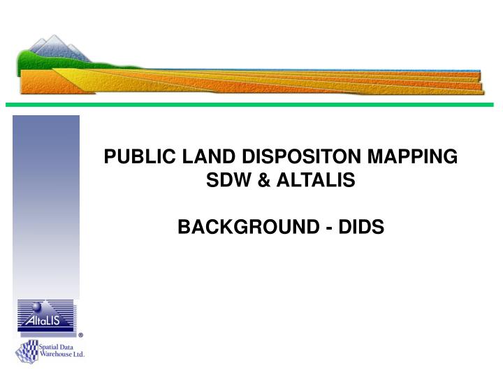
PUBLIC LAND DISPOSITON MAPPING SDW & ALTALIS BACKGROUND - DIDS. Some Terminology:. SRD – Sustainable Resource Development PLFD – Public Lands and Forestry Division SDW – Spatial Data Warehouse DIDS – Digital Integrated Dispositions. Alberta Provincial Mapping Infrastructure.

E N D
PUBLIC LAND DISPOSITON MAPPINGSDW & ALTALISBACKGROUND - DIDS
Some Terminology: • SRD – Sustainable Resource Development • PLFD – Public Lands and Forestry Division • SDW – Spatial Data Warehouse • DIDS – Digital Integrated Dispositions
Alberta Provincial Mapping Infrastructure Martin Newby Consulting Ltd. QC Data Ltd. Spatial Data Warehouse Governance Alberta Government AAMD&C AUMA Major Utility Cos. A non-profit mapping private/public partnership formed in 1996. Role is to preserve and enhance Alberta’s base mapping information infrastructure after taking over operations from the Alberta Government. Operating partner for SDW responsible for all aspects of reengineering, development and daily operations: - updating, storage, delivery, licensing & business development.
Cadastral / Parcel Maintenance Cycle: Alberta Land Surveyors Users of digital plan information Digital Plan Land Titles Checking Plan Integrated Cadastral Base Ownership Parcel Created Digital Plan & Titles AltaLIS Agent to SDW & Govt. Plan Registration Titles created - TAG file
Dispositions – What Are They? • Authority to use public land is granted through dispositions issued under the provisions of the Public Lands Act. A disposition is a land use contract that gives specific rights to a land or resource user (e.g., lease, license, or permit).
Over 55% of the Province is Crown Land But there are dispositions in almost every township in the Province
Dispositions: • There are approximately 210,000 active dispositions; over 80% are related to Oil & Gas activities. (Current count – 231,000) • There are approx. 17,000 new dispositions / year. • Information is maintained in a mainframe database (LSAS). • There is no consolidated digital map or spatial representation – there is only a hardcopy map on which dispositions are manually drafted.
Background: • In 2003, SRD and SDW conducted a pilot to determine the effort required to create a Disposition Mapping database for historical and new dispositions. • A funding model and process, similar to the successful LTO cadastral mapping process, was determined to be the most viable.
Conclusion: • Digital submissions (survey plan / sketch) together with a filing fee would support the Disposition Mapping process.
Disposition Mapping DIDS Project - What’s it About? Objectives: • To build and maintain a graphical database of the spatial information pertaining to Dispositions. • To assist the GOA (PLD & LFD) in the administration and management of Dispositions. • To create a product that the client community (Municipalities, Oil & Gas, Forestry, Agriculture, Wildlife and Fisheries, Recreational) and the public can access and use.
Purpose of Digital Submissions: • Accurate Locations. • Support timely application processing – near real time mapping. • Eliminate issuance of overlapping dispositions. • “Currently 98% of all public land dispositions are surveyed by an ALS”, Technical Services Unit, ASRD. ALS’ are familiar and competent in preparing Digital Plans (for application and registration purposes).
HISTORICAL DISPOSITIONS Would be completed in approx. 4 years GIS and CAD database Initial schedule is to start in the most active townships.
PROPOSED DISPOSITION MAPPING PRODUCT (GIS Dataset) Disposition Data would be managed in a GIS Environment; Graphics and Databases are Linked for Immediate Queries and Data Retrieval
Maintenance of New Dispositions: • ASRD has strengthened application and submission requirements: • One disposition – one plan • Content Requirements for Disposition Application Plans (sketch) • Content Requirements for Disposition Final Plans (monumented surveys). • Digital Plan submissions will be mandatory
Other Benefits: • Public Lands: Improved approval process; better decision making; reduced approval times for Disposition applications; minimize granting conflicting authorizations. • Access Roads: greatly assists in the identification (and sharing) of access roads and the ownership thereof. • Emergency Response Planning: typically, all oil and gas facilities must be shown on ERP plans; consolidated disposition mapping would greatly assist in the identification of such facilities. • Alberta One-Call: will provide a much more complete record of possible buried facilities. Provides better safety to the public.
Other Benefits (cont’d): • Municipalities: will assist Alberta Municipal Affairs and Municipalities in identifying all linear properties (facilities) to be assessed on Public Lands, including: • oil and gas wells and pipelines, • electric power systems (generating, transmission and distribution), • telecommunication systems (including cellular telephone systems), and • cable television systems. • Environmental: Public Lands “erases” the location of dispositions (LOC, MSL, etc.) when they are abandoned, which means there is no spatial record, or map, showing these locations. This information is / will be extremely important in the future as sites are redeveloped.
More Recent Developments: • 2005 Budget - GOA received approval to implement a filing fee. • Alberta Land Surveyors were informed in April 2005 that digital submissions and a filing fee will be implemented effective August 1, 2005. • A sub-committee of the ALSA has been meeting with SRD to review technical details.
More Recent Developments: • Meeting with ALSA June 8, 2005 • Surveyors informed (agreement): • DIDS implementation August 1 • CAD file, Metadata file, pdf files required. • CAD file must be geo referenced • Must be submitted via secure FTP site • Grandfather period to Jan. 1, 2006 for surveys dated prior to August 1, 2005
PLFD WEB PROCEDURES See “DIDS – Digital Submissions June 28, 2005” Power Point