Download
1 / 29
290 likes | 441 Views
GIS Activities of the Florida State Emergency Management Team. Richard Butgereit, GISP GIS Administrator Information Management Section Head 850-413-9907 richard.butgereit@em.myflorida.com. Response Requirements according to DeLo. Team Systems Building. Common Operation Platform.

E N D
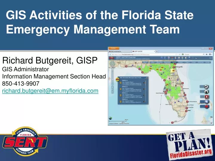
GIS Activities of the Florida State Emergency Management Team Richard Butgereit, GISP GIS Administrator Information Management Section Head 850-413-9907 richard.butgereit@em.myflorida.com
Response Requirementsaccording to DeLo Team Systems Building
Common Operation Platform Common Operation Picture Common Operation Data GATOR EMC RECON INCIDENT TRACKER Storm Tracks Damage Estimates Critical Facilities Missions Shelters/PODS
SERT Information Resources Daily Activations Social Media Incident Tracker EM Constellation – Mission/Request Tracking 911/Dispatch Airports FDLE Suspicious Activity Reporting Notification Critical Infrastructure National Shelter System Ports FDEP Storm Tracker Field Ops FDOH Emergency Status System SERMN – Resources/ Logistics RECON – Reconnaissance Tool E-Plan – HazMat Inventory Federal Wildfires GATOR – Visualization Tool Power Outages Burn Authorizations/ State Wildfires 511 – traffic/road closures Damage Estimates/ Damage Assessment Natural Hazards FHP – traffic/road closures
What is a Critical Facility? • Critical Facility - structures from which essential services and functions for victim survival, continuation of public safety actions, and disaster recovery are performed or provided.
Critical facility model • 13 feature classes are spread across 4 feature datasets, representing emergency management branches • Emergency Services • Human Services • Operations Branch • Infrastructure Branch
Master site model • 1 feature class • name, address, city, zip • lat/long, USNG • flood, storm surge, evac • 9 lookup tables (currently) • as close to source data • as possible
Common Operation Platform Common Operation Picture Common Operation Data GATOR EMC RECON INCIDENT TRACKER ArcGIS Online Storm Tracks Damage Estimates Critical Facilities Missions Shelters/PODS
Know Your Zone – Mobile http://map.floridadisaster.org/kyz In order to know when to evacuate for hurricane surge flooding, you must KNOW YOUR ZONE! Keep in mind, you evacuate to avoid deadly surge flooding. Know Your Zone – Mobile use geolocation services on your mobile device to view designated hurricane evacuation zones.