Download
1 / 8
120 likes | 499 Views
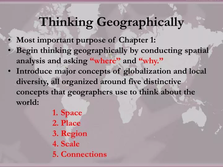
Thinking Geographically. Most important purpose of Chapter 1: Begin thinking geographically by conducting spatial analysis and asking “where” and “why.”

E N D
Thinking Geographically • Most important purpose of Chapter 1: • Begin thinking geographically by conducting spatial analysis and asking “where” and “why.” • Introduce major concepts of globalization and local diversity, all organized around five distinctive concepts that geographers use to think about the world: • Space • Place • Region • Scale • Connections
Key Issue 1: How do Geographers address WHERE things are? • Spatial Analysis – study space in order to locate the distribution of people and objects. • Concerned with analyzing regularities achieved through interaction. • Distribution has three properties: 1. Density 2. Concentration 3. Pattern
Density • Frequency with which something occurs in space. • Can be people, houses, cars, dogs, volcanoes, or anything. • Arithmetic Density – total number of objects in an area (used to compare the distribution of population in different countries). • AD involves two measures: # of people and land area. • High physiological density = country might have difficulty growing enough food. • High agricultural density = country might have inefficient agriculture. • High housing density = people may live in overcrowded housing.
Concentration • Concentration - extent of a feature’s spread over space. • Clustered = if objects in area are close together. • Dispersed = relatively far apart. • To compare level of concentration = need to have same # objects, same size area.
Density vs. Concentration Change the density but not the concentration by adding or removing houses. Change the concentration but not the density by pushing the same number of houses closer together or further apart.
Density vs. Concentration • Which two boxes have the highest density of stuff? • Which two have the highest concentration of stuff?
Identifying Location • Location – the position that something occupies on Earth’s surface. • Place Names – refer to it by its toponym. • Site – physical character of a place (e.g. climate, elevation, vegetation). • Situation – location of a place relative to other places (e.g. – Louisville is on the Ohio River, approximately 120 miles south of Cincinnati and 80 miles west of Lexington). • Mathematical Location – two sets of imaginary lines that form the grid pattern on Earth’s surface.
Diffusion • Interaction results from the diffusion of a feature. • Diffusion occurs in three main ways: 1. Relocation diffusion – bodily movement. 2. Expansion spread – through snowballing. a. Hierarchical diffusion – from a node. b. Contagious diffusion – widespread 3. Stimulus diffusion – underlying principles