Download
1 / 29
300 likes | 517 Views
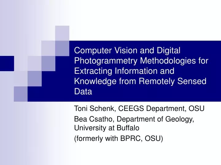
Computer Vision and Digital Photogrammetry Methodologies for Extracting Information and Knowledge from Remotely Sensed Data. Toni Schenk, CEEGS Department, OSU Bea Csatho, Department of Geology, University at Buffalo (formerly with BPRC, OSU). data specialist. data collection.

E N D
Computer Vision and Digital Photogrammetry Methodologies for Extracting Information and Knowledge from Remotely Sensed Data Toni Schenk, CEEGS Department, OSU Bea Csatho, Department of Geology, University at Buffalo (formerly with BPRC, OSU)
data specialist data collection preprocessing raw data feature extraction geo scientist data/information analysis knowledge From Data to Knowledge effort diagram of geoscientist experience diagram
data specialist data collection preprocessing raw data geospatial information provider information extraction geo scientist information analysis knowledge From Data to Information and Knowledge effort diagram of geoscientist experience diagrams
perception data acquisition data From Data to Information and Knowledge in Human Vision knowledge scene information
data acquisition data preprocessing raw data feature extraction information perceptual organization applications knowledge Paradigm
knowledge semantic content information data signal representation symbolic Data, Information, Knowledge
Data • sensor output, result of data acquisition • raw signals or preprocessed • data is not an end product, nor does it directly provide answers to applications • examples: pixels, laser points • data needs to be (further) processed
Information • more specific than data to answer questions • information can be retrieved from data information implicitly in data • extracting information from data makes it explicit feature extraction • features are information primitives
Knowledge • elusive concept, ill-defined means different things to different people • to ‘deal’ with knowledge it must be represented knowledge and its representation are closely related • knowledge: facts, procedures, heuristics that can be used to make inferences
Example of feature extraction and their perceptual organization • features are likely to correspond to object boundaries (pixels carry no explicit information about scene) • perceptual organization of features leads to structures that can be used to generate hypotheses about objects
Test Site Ocean City Detail View Test Site
Edge Segmentation segmentation of raw edges into straight lines threshold criteria straightness length from pixels to vectors
Edge Information • segmentation and grouping are perceptual processes • perceptual organization transforms data (edge pixels) into information (parallel edges, rectangular edges, corners,…) • edge information enters spatial reasoning process
data information knowledge query From Data to Knowledge in a Multisensor Scenario
Feature Extraction From Different Sensors • aerial/satellite imagery: • edges by edge operators • regions, e.g. by texture segmentation • LIDAR: • smooth surface patches, e.g. planar and higher order surfaces • multispectral/hyperspectral imagery: • regions with similar spectral properties
Perceptual Organization of Laser Point Clouds • find structure in randomly distributed 3-D point clouds • feature extraction, e.g. planar surface patches • segmentation, merging • grouping: establish topological relationships, bare-earth separation, compute higher order features
relationship? Fusion of Aerial Imagery and Lidar: Data Level image Lidar
image Lidar raw edge region 1 region 2 relationship? Fusion of Aerial Imagery and Lidar: Extracted Features, 1st Level
image Lidar segmented edge computed edge relationship = same physical phenomena Fusion of Aerial Imagery and Lidar: Extracted Features, 2nd Level region 1 region 2 sensor invariant feature
aerial image aerial image Z Y laser points visible surface reference frame X Principle of Image Registration
ICESat Laser Points Back-Projected To Stereo Images: Before Registration
ICESat Laser Points Back-Projected To Stereo Images: After Registration
Concluding Remarks • process of extracting useful information improves the ratio data gathering/knowledge creation • more data can be ‘mined’ • ‘useful’ information is application dependent
Concluding Remarks • geoinformatics is multi-disciplinary • sensor designers, mission planners • data collection specialists • geoinformation providers • photogrammetry, remote sensing, computer vision, computer science • geoinformation managers (GIS) • geoscientists