Download
1 / 22
220 likes | 309 Views
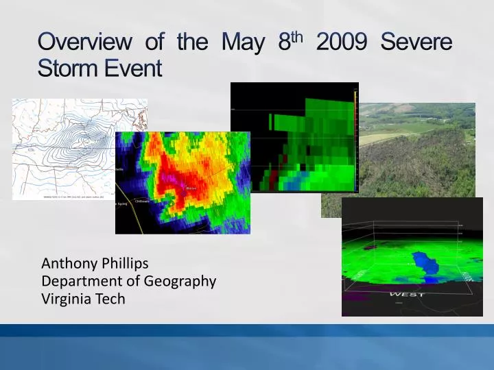
Overview of the May 8 th 2009 Severe Storm Event. Anthony Phillips Department of Geography Virginia Tech. Mesocyclone Track VA and NC. Thermodynamic Profiles KRNK and KGSO - 0000 UTC 9 May 2009. Mesoscale Analyses Virginia and North Carolina. Mesoscale Analyses Smyth County and SW VA.

E N D
Overview of the May 8th 2009 Severe Storm Event Anthony Phillips Department of Geography Virginia Tech
Synopsis and ConclusionWhat was learned • Reports of straight-line wind damage in Marion, VA might easily have been tornado damage. The supercell had… • increasing reflectivities at all tilts, • a well-defined inflow notch and shallow v-notch, • strong low and mid-level circulation, • an overhanging weak echo region (WER), • and tightening of the mesocyclone as it passed near Marion.
Synopsis and ConclusionWhat was learned • From radar observations, the SPC meso analyses were correct in predicting the greatest amounts of shear to the north. • Strong updrafts and rotation reached over 20 kft near Marion. • Shear and rotation didn’t extend much above 10 kft with the Alleghany tornadoes.
Synopsis and ConclusionWhat was learned • A very good correlation exists between mesocyclone strength and tightening of rotation • Even though the storm weakened while crossing the high country, it regained strength quickly before tornadogenesis occurred (conservation of potential vorticity) • Consider extending Tornado Warnings even if the storm has weakened since: 1) it’s had a history of rotation, and 2) it may likely re-intensify.
Synopsis and ConclusionWhat was learned • Finally…storms could have been even more severe had additional CAPE been present. Questions?