Download
1 / 18
200 likes | 307 Views
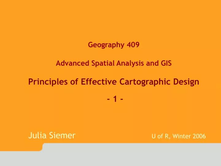
Geography 409 Advanced Spatial Analysis and GIS Principles of Effective Cartographic Design - 1 - Julia Siemer U of R, Winter 2006. “Graphics software no more guarantees good maps than word-processing software assures good writing”

E N D
Geography 409 Advanced Spatial Analysis and GIS Principles of Effective Cartographic Design - 1 - Julia Siemer U of R, Winter 2006
“Graphics software no more guarantees good maps than word-processing software assures good writing” • [M. Monmonier, 1993, page 12, “Mapping it out”]
Definitions • Cartography • Study and practice of making maps Map • A map is a symbolised image of geographical reality, representing selected features or characteristics, resulting from the creative effort of its author's execution of choices, and is designed for use when spatial relationships are of primary relevance. • [International Cartographic Association, www.icaci.org]
Why Use Maps? • Communicate information graphically • Answering questions like: Where is…? What is…? How many…? • Revealing (unknown) spatial relationships
Why Are You Making Your Map? • What is your map for? • Different goals call for different maps
Why Are You Making Your Map? • Who is your map for? Experts/novices, adults/children • What is the final medium? Computer monitor/paper (b/w or colour)/projected/posters => Resolution, colour schemes, size, more/less fine lettering and symbols
Map-Making Tools The reason a map is being made suggests appropriate tools • Making maps without the computer • Making maps on the internet • Making maps with GIS Manipulate/analyse data numerically or visually: mapping in GIS Publish results as maps, export maps => GIS include basic map-making and map design capabilities • Graphic design tools
Map Layout • Map body • Title • Legend (key) • Scale (graphical, numerical) • Sources, date, author etc. • Projection information • Orientation • Insets/locator maps • Explanatory text 8/18
Map Layout poor layout good layout • Arrange the elements according to the typical eye movement and the visual focus • Balance the map elements • Arrange the elements by using horizontal and vertical spaces
Map Layout poor layout good layout • Arrange the elements according to the typical eye movement and the visual focus • Balance the map elements • Arrange the elements by using horizontal and vertical spaces
Intellectual and Visual Hierarchies Intellectual hierarchy (after Dent 1999) 1. Thematic symbols, Title, legend material, symbols and labeling 2. Base map - land areas, including political boundaries, significant physical features 3. Base map - water features, such as oceans, lakes, rivers 4. Important explanatory materials - map source and credits, Other base map elements - labels, grids, scales [after Dent 1999]
Intellectual and Visual Hierarchies Visual hierarchy • Figure-ground phenomenon: most primitive form of perceptual organization (= automatic mechanism) • Objects that stand out against their background are referred to as figures, their formless backgrounds as grounds • Layering of data (subtraction of weight) enhances representation of ordered information
Intellectual and Visual Hierarchies Visual hierarchy Perceptual grouping of elements Size Proximity Shape Texture Colour
Intellectual and Visual Hierarchies Visual hierarchy Layering and outlines
Intellectual and Visual Hierarchies Visual hierarchy
Intellectual and Visual Hierarchies Visual hierarchy
Intellectual and Visual Hierarchies Visual hierarchy • Make a list of the elements on your map • Arrange them from most important in your map’s intellectual hierarchy to least important • Select visual symbols/a visual hierarchy which reflect(s) these priorities
Intellectual and Visual Hierarchies Visual hierarchy - summary • Visual difference separates figure from ground • Figure has more detail than ground • Sharp edges/outlines help separate figure from ground • Visual hierarchy is enhanced when ground appears to continue behind the figure • Coarser texture tends to stand out as figure • Elements with simple closed shapes tend to be seen as figure