Download
1 / 16
160 likes | 260 Views
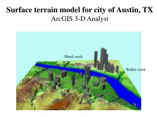
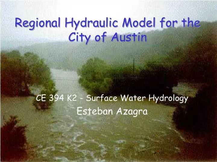
Regional Hydraulic Model for the City of Austin. CE 394 K2 - Surface Water Hydrology Esteban Azagra. Single Creek. Dentritic network. Objectives. Create a “regional hydraulic model” for the city of Austin. Specific goal: flow analysis. Tools.

E N D
Regional Hydraulic Model for the City of Austin CE 394 K2 - Surface Water Hydrology Esteban Azagra
Single Creek Dentritic network Objectives • Create a “regional hydraulic model” for the city of Austin. • Specific goal: flow analysis.
Tools • CRWR-PrePro: ArcView preprocessor that extracts information from digital spatial data and creates an input file for non-GIS applications. • HEC-HMS: Hydrologic Modeling System for precipitation-runoff simulation. • HEC-RAS: one-dimensional Hydraulic Model for channel analysis and floodplain determination.
Methodology • Watershed delineation and HMS schematic generation with PrePro. • Generate flows with HEC-HMS. • Compare flows and run HEC-RAS.
Bull Creek Little Bull Creek Sample Area • Branched • Relatively flat • Cross-sections available
Bull Creek Boundaries (City of Austin) • River Reach File 3 Coverage (EPA) • 10 m DEM (City of Austin) • Land Use/Land Cover files (USGS) • Precipitation data (CRWR) • Cross-Sections in GIS format (CRWR) • RAS files (City of Austin) Data required for the Study • STATSGO (USDA-NRCS)
DEM Fill Streams “Burning in” Delineate watersheds Flow dir. Basic Stream Network Flow acc. Control Points, Outlets and Links Working with CRWR-PrePro
Statsgo Vectorization Stream Parameters X = 0.15, V = 1 m/s Computation of the hydrologic parameters CN LULC “Clipping out” Schematic and basin file HMS Working with CRWR-PrePro
Flooding analysis based on: • 2, 10, 25, 100 yr • hypothetical storms • 3 hr storm duration Running HEC-HMS(Precipitation Model)
Hydrograph Summary Hydrograph Plot Hydrograph Time Table Running HEC-HMS(Results)
Conclusions • Differences are too big! • Check City of Austin flow values. • Model calibration? (X, Vs) • Very suitable approach for flow determinations. • Analysis of big areas. • HMS flow values can be exported to RAS.
Future work • GIS representation of flooded areas. • Work with DOQ’s. • AVRAS. • Other approaches (TIN not available).