Download
1 / 14
140 likes | 293 Views
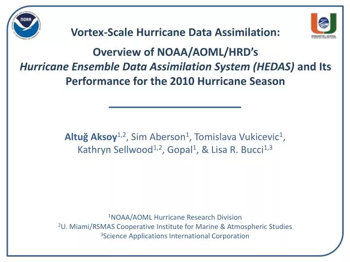
Vortex-Scale Hurricane Data Assimilation: Overview of NOAA/AOML/ HRD’s Hurricane Ensemble Data Assimilation System (HEDAS) and Its Performance for the 2010 Hurricane Season . Altuğ Aksoy 1,2 , Sim Aberson 1 , Tomislava Vukicevic 1 , Kathryn Sellwood 1,2 , Gopal 1 , & Lisa R. Bucci 1,3.

E N D
Vortex-Scale Hurricane Data Assimilation:Overview of NOAA/AOML/HRD’sHurricane Ensemble Data Assimilation System (HEDAS) and Its Performance for the 2010 Hurricane Season Altuğ Aksoy1,2, Sim Aberson1, Tomislava Vukicevic1,Kathryn Sellwood1,2, Gopal1, & Lisa R. Bucci1,3 1NOAA/AOML Hurricane Research Division 2U. Miami/RSMAS Cooperative Institute for Marine & Atmospheric Studies 3Science Applications International Corporation
NOAA Operates Three Aircraft to ObserveHurricane Environment and Vortex Structure 2 P-3 Aircraft – NOAA 42, 43 (hurricane core penetrations) Chemistry inlet Radar altimeter GPS Flight-Level Wind, T, Q Gust probe Tail Doppler Radar C-Band Weather Radar Pylons Radiometer Launch tubes and chutes: Lower-fuselage Weather Radar (Stepped-frequency Microwave Radiometer, cloud physics, aerosol) Dropwindsonde, AXBT, AXCP, AXCTD 1 G-IV Aircraft – NOAA 49 (hurricane environment) GPS navigation Tail Doppler Radar (new) C-Band Weather Radar Stepped-frequency Microwave Radiometer HRD HEDAS Effort Primarily Focuses on Dropsonde, Doppler Radar, and Flight-Level Observations Dropwindsonde chute
EnKF Observations Data Assimilation: An Overview of the Ensemble Kalman Filter (EnKF) • Data assimilation combines model background with observations to obtaina best estimate of atmospheric conditions to initialize a model run • The EnKF is an advanced data assimilation technique (Evensen 1994) • An ensemble of short-range forecasts provides the flow-dependent background covariance information Instead of a single state that represents the initial state of the atmosphere … For the assimilation of obs, use covariances sampled from the ensemble of forecasts Subsequent forecast cycle is initialized from the previous analysis ensemble Analysis uncertainty becomes the initial condition uncertainty for the new forecast cycle … Start with an ensemble of states (ensemble members) that better represent the initial uncertainty about the “mean” state t = t0 t = t0+Δt t = t0+2Δt
HRD’s Hurricane Ensemble Data Assimilation System (HEDAS) • Forecast model: • HRD’s Experimental HWRF (HWRF-X) • 2 nested domains (9/3 km horizontal resolution, 42 vert. levels) • Static inner nest to accommodate covariance computations Inner nest size: ~10x10 degrees • Ferrier microphysics, explicit convection on inner nest • Ensemble system: • Initialized from semi-operational GFS-EnKF (NOAA/ESRL) ensemble • Initial ensemble is spun up for 3-4 hours before assimilation begins • 30 ensemble members • Data assimilation: • Square-root ensemble Kalman filter, EnKF (Whitaker and Hamill 2002) • Assimilates inner-core aircraft data on the inner nest NOAA P-3, NOAA G-IV, USAF, PREDICT G-V • Covariance localization (Gaspari and Cohn 1999)
2010 HEDAS Semi-Real-Time Runs for HFIP:DA Cycling Workflow • Only ran when Doppler radar wind data was available from NOAA P-3 flights( 19 cases) • Used 1452 processors on NOAA’s tJet cluster (supported by HFIP) Deterministic HWRF-X Forecast from Ens. Mean Ensemble Spin-up DA Cycling with EnKF T – 6 h T T + 126 h 1-hour Cycles Real-Time Observation Pre-Processing Mean of Final Analysis Assumed Valid for T Ensemble Initialization from T-6h GFS-EnKF
2010 HEDAS Semi-Real-Time Runs for HFIP:Summary of Cases • A total of 19 cases are run (when NOAA P-3’s collected Doppler radar data): Number of Observations Assimilated per Cycle Number of Observations Number of Cycles
2010 HEDAS Semi-Real-Time Runs for HFIP:Summary of Final Mean Analysis Intensity Max. 10-m Wind Speed (knots) Min. Pressure (mbar)
2010 HEDAS Semi-Real-Time Runs for HFIP:Summary of Forecast Performance Intensity Error (kt) &Number of Cases Track Error (km) Frequency ofSuperior Performance (%) Forecast Time (hour) HEDAS (in blue) performs better in intensity and comparably in track (to HWRF and HWRFx)
2010 HEDAS Semi-Real-Time Runs for HFIP:Comparison of Structures (Earl 08/30 12Z) Wind Speed at 1 km (m/s) Analysis Radar Distance from Center (km) Distance from Center (km)
2010 HEDAS Semi-Real-Time Runs for HFIP:Comparison of Structures (Earl 08/30 12Z) Frequency Histograms of Observed Quantities SFMR Flight Level Doppler Wind Frequency Wind Speed (m/s)
2010 HEDAS Semi-Real-Time Runs for HFIP:Comparison of Structures (Earl 08/31 00Z) Wind Speed at 1 km (m/s) Analysis Radar Distance from Center (km) Distance from Center (km)
2010 HEDAS Semi-Real-Time Runs for HFIP:Comparison of Structures (Earl 08/30 12Z) Frequency Histograms of Observed Quantities SFMR Flight Level Doppler Wind Frequency Wind Speed (m/s)
2010 HEDAS Semi-Real-Time Runs for HFIP:Comparison of Forecasts (Earl 08/31 00Z)
Summary and Future Plans • Across the 19 cases for which HEDAS has run during the 2010 season: • Intensity error was better than HWRFx (initialized with HWRF vortex) and operational HWRF • Track error was comparable • Issues remain with respect to initial adjustment during forecast when initialized from HEDAS vortex (this is not unique to HEDAS) Research underway to address these issues • Planned updates before the 2011 season: • Satellite data assimilation in the core (Vukicevic) • Representation of model error in surface and PBL physics (Aksoy and J. Zhang) • Improved parallelization • All of HEDAS forecast case results can be found at the following link:https://storm.aoml.noaa.gov/realtime