Download
1 / 30
330 likes | 623 Views
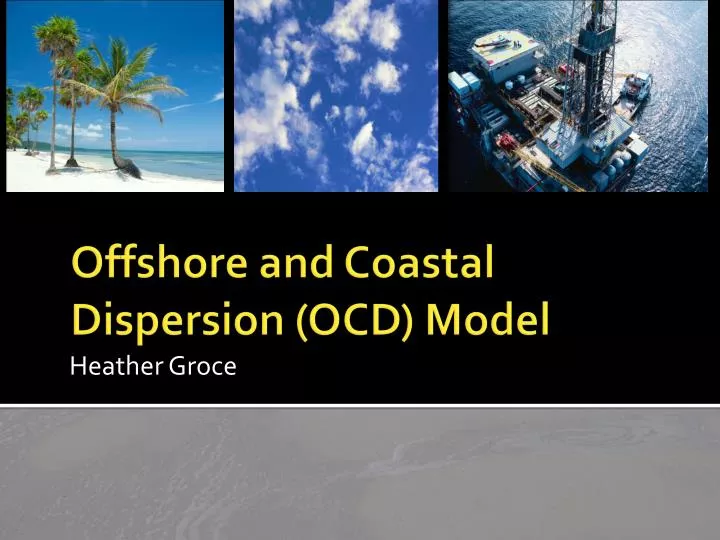
Heather Groce. Offshore and Coastal Dispersion (OCD) Model. Outline. Introduction Methodology and Applications Installation Use Case Study Summary. Introduction to OCD. Simulates offshore emissions from point, area, or line sources to receptors on land or water

E N D
Heather Groce Offshore and Coastal Dispersion (OCD) Model
Outline • Introduction • Methodology and Applications • Installation • Use • Case Study • Summary
Introduction to OCD • Simulates offshore emissions from point, area, or line sources to receptors on land or water • Hourly, steady-state Gaussian model • Q: Why is it necessary to have a model specifically dedicated to a pollutant traveling from over water to over land?
How was OCD developed? • In 1980, a model was needed that would handle off-shore emissions • Adapted from MPTER • This model added overwater plume transport and dispersion • Also incorporated changes as plume crosses shoreline
How does OCD work? • Three major components: • Overwater subroutines that are new algorithms based on overland boundary layer dynamics • Overland subroutines from MPTER • Subroutines from existing models to describe dispersion in complex terrain
Overland vs. Overwater • Overwater mixing height is less than overland mixing height (why?) • Overwater mixing depth can vary from 100 m to 500 m • Different variations during the day and year
What data is needed? • Domain of model and defined coast • Meteorological data (e.g. wind speed) • Source data (e.g. emission rate) • Receptor data (e.g. elevation)
Importance of meteorological data measurements • Onsite overwater meteorological data (hard to obtain) • Representative overwater meteorological data • Representative overland meteorological data • Wind speed and direction • Mixing height • Overwater air temperature • Relative humidity • Sea surface temperature
Installation • Code can be downloaded from the EPA’s Preferred/Recommended Models webpage • User-friendly interface http://www.epa.gov/ttn/scram/dispersion_prefrec.htm
Input Menu Nine input windows:
Sources • New Inputs: • Stack angle from the vertical • Height of stack top above its base* • Height of building at or near stack base
Types of Receptors • Discrete • Polar • Cartesian
Sources of Meteorological Data • ASCII, included in Control File • Binary, in Separate PCRAMMET File • ASCII, in Separate PCRAMMET File
Running the program • The hourly emission file is the only optional data.