Download
1 / 22
220 likes | 416 Views
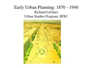
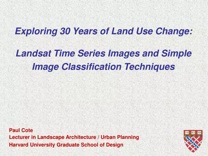
Exploring 30 Years of Land Use Change: Landsat Time Series Images and Simple Image Classification Techniques. Paul Cote Lecturer in Landscape Architecture / Urban Planning. 500 Design Students. 250 Architecture 50 Urban Planning 100 Urban Design 100 Landscape. A Representation Engine.

E N D
Exploring 30 Years of Land Use Change:Landsat Time Series Images and Simple Image Classification Techniques Paul Cote Lecturer in Landscape Architecture / Urban Planning
500 Design Students 250 Architecture 50 Urban Planning 100 Urban Design 100 Landscape
A Representation Engine • GSD Studio Culture: • Focus on representing, understanding, modifying and evaluating places: • Appearance • Performance • Intense interest in Spatial Information and Spatial Analysis
GSD’s Collection of GIS Tutorials • http://www.gsd.harvard.edu/gis/manual • Or Google “GIS Manual”
Free Data:NASA’s Mission to Earth North American Landscape Characterization • Orthorectified, Georeferenced • Selected Cloud free Images from 1975, 1985, 1995 • $20 from NASA http://eros.usgs.gov/products/satellite/nalc.html • Free for download from University of Maryland Global Land Cover Facilityhttp://glcf.umiacs.umd.edu
Free Tools:Multispec Image Classifier • From Purdue University • Runs on Macintosh or Windows • Many different classification algorithms • Exchanges data with ArcGIS
Composite Image bands: Green, Red Infrared Cluster pixels statistically (Iso Cluster) Manually inspect and group clusters into land cover classes for sample of image Reclassify Bring to ArcGIS to find areas of change Classification Procedure:
This analysis is far from scientific The method is strictly exploratory It is useful for highlighting areas for closer inspection Intended primarily to introduce data resources, tools and classification techniques. Caveats:
www.gsd.harvard.edu/gis/manual/image_class On-Line Tutorial with Cape Cod Images: Paul Cote Lecturer in Landscape Architecture / Urban Planning
Exploring 20 Years of Land Use Change:Free Data: Landsat Time Series Images Free Tools: Multispec Image Classifier Reclassified: Forested / Not Indicated Change: Deforested Reforested 1977 Image Clustered Reclassified: Forested / Not 1999 Image Clustered