Download
1 / 25
250 likes | 392 Views
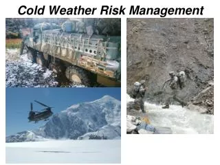
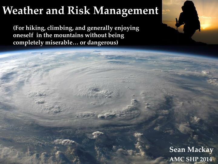
Weather and Risk Management. (For hiking, climbing, and generally enjoying oneself in the mountains without being completely miserable… or dangerous). Sean Mackay. AMC SHP 2014. “The mountains will always be there, the trick is to make sure you are too.” - Hervey Voge.

E N D
Weather and Risk Management (For hiking, climbing, and generally enjoying oneself in the mountains without being completely miserable… or dangerous) Sean Mackay AMC SHP 2014
“The mountains will always be there, the trick is to make sure you are too.” • - Hervey Voge “Good judgment comes from experience. Experience comes from bad judgment.” - Evan Hardin “Early up …. early down.” But why?
A few facts to make you think…. 135 recorded fatalities in the Presidential Range of NH • Hypothermia ( 33 ) • Drowning ( 6 ) • Avalanche ( 13 ) • Falling ice ( 6 ) • Falls ( 43 ) • Natural Causes ( 19 ) • Causes unknown ( 3 ) • Other ( 25 ) Of the deaths from hypothermia, 15 occurred during the summer (June-Sept) • Mt .Washington • Average annual temperature = 27.2 ° F • Average wind = 35 mph (gusts >100 mph occur several times each month) • Annual precip. = 102 in of water equivalent (including 26ft of snow) • Snows every month of the year (including August) • Summit temperatures are typically 20-30 ° F colder than valley temps • Summit winds are 20-100 mhp higher than valley winds
Meteorology 101 The earth (in case you were confused already) The sun: Where it all begins (not drawn to scale) Energy dissipation and redistribution is the ultimate source of all weather • Complicated by… • Earth’s rotation (Coriolis effect – imparts spin) • Surface materials (differential heating / differential drag) • Ocean / Land • Unique properties of H2O • Topography
Meteorology 101 • Just a few more basics… • As air heats it expands and rises • As air rises it cools • As it cools to or beyond the dewpoint – it produces clouds and/or precipitation • In the mountains, we experience “weather” associated with both: • Large scale / regional factors • Pressure systems • Fronts • Local factors • Topography • Daily heating cycles
Meteorology 101 Large scale / regional factors High Low
Meteorology 101 Local topographic and orographic factors
Impacts on the hiker/climber Learn touse basic concepts of meteorology and forecasting to know when to avoid or expect/prepare for common mountain weather hazards such as: • Lightning • Heavy precipitation • High winds • Sun exposure • Excessive Heat • Excessive Cold • Poor visibility
Thunderstorms / Rain • Associated with: • Frontal boundaries (esp. cold fronts) • Daily differential heating of the landscape under warm humid conditions (typically in the afternoon) • High mountains receive 5 times as many thunderstorms each year as coastal environments
Thunderstorms / Rain • Lightening • Origen: Collisions between water and ice in the cloud induce charge separation; upper part of the cloud positively charged / lower negatively charged. The negative charge at the base induces a positive charge on the ground. Lightning occurs once the charge difference overcomes air resistance. • Located several miles ahead of the storm in addition to directly beneath it. • 200ppl/year die of lightning strikes in the US. • Rain(up to ~125M gallons) • Flooding • Trail instability Annual lightning incidence map
Thunderstorms / Rain If thunderstorms are forecast • Do not hike or camp in narrow valleys / gullies • Do not hike / climb in exposed areas (esp. above tree line) • Watch small cumulus clouds for vertical growth – this is a sign for developing thunderstorms If you see a thunderstorm… • Get away from water • Seek low ground • Do not stand/sit under a tree (good luck with this in NE) • Crotch, but do not lay down • Gauge the movement of the storm by watching and listening…. • [Strike time – thunder (s) ] / 5 = distance to storm (miles). • Do this several times to see which direction it is moving
Wind Mountains both cause and alterwinds considerably • Valley winds / gravity winds • I.E. Camping right at the base of the valley wall can be a bit breezy • Gap winds • Occur at breaks in the topography (passes, between two peaks, etc.) • Wind speeds can double • Foehn winds • Cool air descends and adiabatically warms - acceleration and rapid warming • Katabatic winds • Elevation exposure to upper atmosphere winds Low wind Moderate High wind • Use topography / landscape to your advantage if possible • Tree line • Boulders, etc.
Wind Chill Non-linear decrease in “apparent” temp.
What about being too hot..? Heat Index • How hot a combination of temperature and humidity feels • Based on the body’s capability to utilize evaporative cooling
Mountain weather forecasting What if forecasts are either limited or unavailable? • Use valley temperature to estimate temps at elevation: • Temperature decreases 3.5 to 5.5 ° F for every 1000ft of elevation Learn how to read the wind, clouds, and air pressure changes….
Mountain weather forecasting Cold front associated Warm front associated Halo No worries – have fun!! 24-48 hr. before precipitation Cirrostratus Altocumulus Potential for thunderstorms/ showers Widespread steady precipitation Nimbostratus Isolated but heavy rain, lightning, wind Other Cumulonimbus Often follows cold front, possible light showers High winds!! Lenticular Stratocumulus
Mountain weather forecasting • Wind direction / speed (Northern Hemisphere) • Shift E or SE low front approaching / precip. Possible • Shift SW or NW cold front passage / drying likely • Increasing from SW to W High pressureapproaching / gusty winds decreasing • Pressure changesover ~3 hrs. (altimeter/barometer?) • Increasing pressure/decreasing ‘altitude’ • Fair weather ahead – go play!!!! • Decreasing pressure / increasing ‘altitude’ • 0.06 inch or more…… high winds (definitely) / precipitation (possibly) on the way
Risk Management x Objective Hazards (environment) Subjective Hazards (you!) Accident Potential = • Environment (objective) hazards • Terrain • - rocky trail, exposed ledges, etc., falling rock, falling ice • Weather • - cold, wind, precip, etc. • Other • - Beestings, poison ivy, overexposure to the sun, darkness • Equipment • - broken stove, improper clothing, boots not broken in, etc.
Risk Management x Objective Hazards (environment) Subjective Hazards (you!) Accident Potential = • You (subjective) hazards • Poor Planning • Weather, route, terrain knowledge, equipment • Individuals • lack of awareness, insufficient skills, poor conditioning, fear / anxiety, careless attitude, ‘summit fever’, not maintaining hydration/eating • Group • Lack of leadership, splintering into sub-groups, scapegoating, poor communication, interpersonal friction • “New Guy syndrome” • “Old Guy Syndrome”
Risk Management Risk rating = likelihood x consequence severity
Thank you Happy hiking! Sean Mackay AMC SHP 2014