Download
1 / 20
220 likes | 374 Views
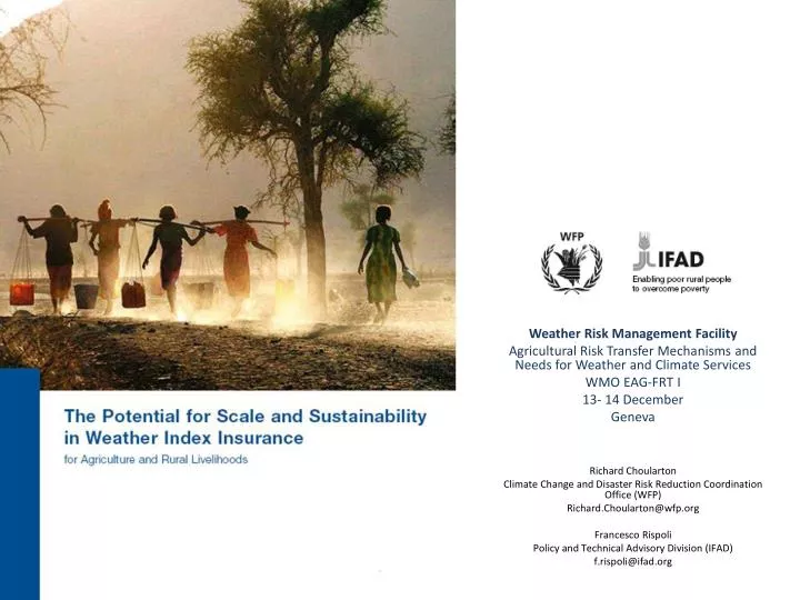
Weather Risk Management Facility Agricultural Risk Transfer Mechanisms and Needs for Weather and Climate Services WMO EAG-FRT I 13- 14 December Geneva Richard Choularton Climate Change and Disaster Risk Reduction Coordination Office (WFP) Richard.Choularton@wfp.org Francesco Rispoli

E N D
Weather Risk Management Facility Agricultural Risk Transfer Mechanisms and Needs for Weather and Climate Services WMO EAG-FRT I 13- 14 December Geneva Richard Choularton Climate Change and Disaster Risk Reduction Coordination Office (WFP) Richard.Choularton@wfp.org Francesco Rispoli Policy and Technical Advisory Division (IFAD) f.rispoli@ifad.org
Weather Risk Management Facility • Joint initiative of IFAD and WFP • Launched in 2008 with the support of the Bill and Melinda Gates Foundation • Objective: Promote agricultural development and more effective disaster risk managementby increasing the access of vulnerable smallholders to a wide range of risk management tools
WRMF activities 36 weather index insurance programs evaluated and reviewed A comprehensive analysis of opportunities, challenges and good practice with WII Five appraisal missions (Kenya, India, Mali, Ethiopia, China) Two pilots (Ethiopia and China) R4 initiative together with OXFAM Testing remote sensing in Mali
IFAD-WFP findings on WII • WII is technically feasible but not applicable to all situations • WII is one in a set of risk management options to be considered • A risk assessment is always needed to determine what kind of risk management tools should be applied and if WII has a role
Retailing Index Insurance • Retailing WII as a stand-alone insurance product is challenging • Easier to meet famers demand when it is linked to credit, to inputs, to value chains, etc. • Farmers need a strong and clear value proposition to consider investing in insurance • Technical assistance per se is not sufficient for market development Retailing Index Insurance Retailing Index Insurance Retailing Index Insurance Retailing Index Insurance
Weather data and infrastructure • Improve the infrastructure and quality of weather data • Remote sensing technologies and innovative delivery methodologies • The future potential of WII largely depends on how the industry will be able to expand the technology frontier
WRMF – WII Ethiopia Pilot Lessons and Challenges • Client education – Awareness and understanding of the product creates trust • Timeliness of pay-outs • Combination with credit and inputs • Weather data quality
WRMF – WII China Pilot Lessons and Challenges • Despite solid infrastructure and good data, data access was one of the main challenge • New weather stations are needed for scaling up • Existence of highly subsidized MPCI • Lack of awareness of the product and little trust in insurance companies
Data Requirements for Weather Index Insurance Availability of historical weather and yield data (approx. 30 years) Sufficient quality standard of data and access Functioning meteorological service Reliable weather station network Weather station reasonably close to potential customers Weather station secure from tampering
Researching new solutions: Mali Key expected results • Understand of potential performance of satellite based indexes at micro-level • Develop specific remote sensing methodologies for micro-level index insurance application
Researching new solutions: Mali Satellite data benefits: • Difficult to tamper with • Available across large areas of the globe • Available in real-time via the internet • Relatively low-cost • Becoming more readily available • Currently used by reinsurers to supplement weather station data Satellite data weaknesses: • Difficult to achieve or access high resolution, good quality, informative data sets at micro-level • Limited time series of data • Regulatory challenges • Buyers willingness to purchase an insurance products based on satellite data
Addressing the needs of the most vulnerable – Integrating risk transfer, risk reduction, and safety nets.
Ethiopia Risk Management Framework Early Warning System with reliable baseline and trigger points Contingency Planning for appropriate and timely response Contingent Financing of contingency plans Capacity Building for effective plan implementation
core innovation: pay for risk management services with labor
R4 Operational Model Safety Net HARITA Drought index triggered Governments Donors Safety Net Program Poorest Households (Safety Net Participants) (Pay Labor) Labor Funding Cash / Food IFW Voucher Funding Payouts IFW Premiums Less Poor Households (Not Safety Net Participants) (Pay Cash) Financial Institutions Cash premiums Payouts IFW = Insurance-for-Work
Climate and Met Data Issues • Use of ground and satalite datasets to reconstruct histroical data set for index design • Scaling up quickly makes infrastrucutre costs high, in comparison to pilots • Swtiched to satalitte-based index, developed through community design process, community by communtiy • Major research effort to validate index