Download
1 / 44
440 likes | 446 Views
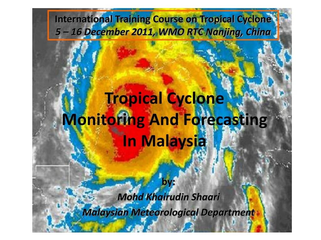
International Training Course on Tropical Cyclone 5 – 16 December 2011, WMO RTC Nanjing, China. Tropical Cyclone Monitoring And Forecasting In Malaysia. by: Mohd Khairudin Shaari Malaysian Meteorological Department. SCOPE. Introduction: Malaysia Malaysian Meteorological Department

E N D
International Training Course on Tropical Cyclone 5 – 16 December 2011, WMO RTC Nanjing, China Tropical CycloneMonitoring And ForecastingIn Malaysia by: Mohd Khairudin Shaari Malaysian Meteorological Department
SCOPE • Introduction: Malaysia • Malaysian Meteorological Department • General Climate of Malaysia • The Effect of Tropical Cyclone Towards Malaysia Weather • Tropical Cyclone Monitoring And Forecasting In Malaysia • MMD Early Warning System
LOCATION OF MALAYSIA Region: Southeast AsiaCoordinates: 2°30'N 112°30'EArea: 329,847 km² Population: 27,730,000 people
MALAYSIAN METEOROLOGICAL DEPARTMENT (MMD) http://www.met.gov.my
MMD Main Services Weather Forecast Seasonal and Long-Range Weather Outlook Weather Warning Marine Meteorological Forecast Aviation Meteorology Meteorological Observations Earthquake & Tsunami Weather Modification Environmental Studies Climate Agromet
Central Forecast Office Division Central Forecast Office is responsible for weather monitoring and issuing the sea condition, weather forecast and warning to general public, mass media and private agencies
Severe Weather in Malaysia Inter-Monsoon (Apr-Mei & Sep-Okt) Nort-East Monsoon (Nov – Mac) Monsson Flood Flash Flood South West Monsoon (June–August) Strong Winds and Rough Seas Tropical Cyclone (May – Nov) Haze
Three Types of Monsoon (based on the wind flow patterns) : • North East monsoon (Nov-March): • steady easterly or northeasterly winds of 10 to 20 knots prevail • surges of cold air from the north (cold surges) bring heavy rainfall to Malaysia • Malaysia experience more rainfall (east coast states of Peninsular Malaysia are mostly affected)
South West monsoon (May-Sept): • the prevailing wind flow is generally southwesterly and light, below 15 knots • During the months of May to November, when TC frequently develop over the west Pacific and move westwards across the Philippines, southwesterly winds over the northwest coast of Sabah and Sarawak region may strengthen reaching 20 knots or more • tail effect of TC over Malaysia (especially over Sabah)
Inter monsoon (Apr & Oct): • winds are generally light and variable • the equatorial trough lies over Malaysia Mean Streamline for April and October (Inter Monsoon) 850hPa
During SW monsoon in Malaysia (May-Sept) or Northern Hemisphere Summer : • Western North Pacific is favorable for TC formation • The normal passage of TC is westwards across the Philippines, recurring northeastwards as they approach the Asiatic land mass • Malaysia may experience tail effect of TC • During NE monsoon (Nov-Mar) : • TC formation in Western North Pacific is rare • Based on past records, Malaysia suffered direct strikes from TC mainly during this period • In associated to Borneo Vortex embedded in the equatorial trough • A vortex can develop to a TC
Tropical Cyclone Common Path Malaysia
Past Tropical Cyclone Events In Malaysia • Tropical Storm Greg (Dec 1996) • Tropical Storm Hilda (Jan 1999) • Typhoon Vamei (Dec 2001)
Tropical Storm Greg (Dec 1996) • Formed in the South China Sea as TD on Dec 21 • Headed east-southeastward, strengthened into the final TS on the 24th • After reaching a peak of 45 knots winds it crossed the northern part of Borneo on the 25th. • Continued east-southeastward until dissipation on the 27th, south of the Philippines • Caused flooding and severe mudslides in Sabah • Leaved more than 4,000 people homeless • Destruction of coral reefs • Fatalities : 238 people • Damage : $52 million USD
Tropical Storm Hilda (Jan 1999) • Stretched out from the northwest Borneo coast early on Jan 4 • Developed into a TD and moved slowly to the north away from the Borneo coast, becoming TS Hilda early on Jan 6 • Caused flooding and landslides in Sabah • Fatalities : 6 people • Damage : $1.3 million USD
Typhoon Vamei (Dec 2001) • Developed on Dec 26 at 1.4°N in the South China Sea • Strengthened quickly and made landfall along extreme southeastern Malaysia • Rapidly dissipated over Sumatra on Dec 28, and the remnants eventually re-organized in the North Indian Ocean • Brought flooding and landslides to • eastern Malaysia • Fatalities : 5 people • Damage : $4.2 million USD
TC monitoring and forecasting tools: • JMA Typhoon Track • JTWC Typhoon Center • NWP products (MMD-WRF, GFS and NOGAPS) • Satellite image : • MTSAT • FY-2E • Radar echo
Upper Air and Synop Surface Observation Principal Station Network Rangkaian Stesen Radar, Satelit, Udara Atas Dan Pencemaran Udara Upper Air Station (8) Principal Synop Surface Observation Station (22)
Satellite Satation (1) Satellite and Radar Network Rangkaian Stesen Radar, Satelit, Udara Atas Dan Pencemaran Udara Radar Station (12)
JMA Typhoon Track FY-2E
EC Wind Chart Wind chart (850 hPa) – useful to detect areas of strong winds over Malaysia waters JMA Wind Chart
WEATHER MONITORING, FORECASTING AND WARNING SYSTEM Marine Observation Aircraft Observation Radar Observation Surface Observation Weather Camera Upper Air Observation Satellite Observation Data Collection and Analysis Weather Forecast Centre Warning Dissemination Public
Dissemination of Sea Condition, Weather Forecast and Warning MMD WEBSITE MASS MEDIA – TV , RADIO & NEWSPAPER WEB SITE : www.met.gov.my SMS MMD SMS INFORMATION SYSTEM
CRITERIA FOR THE ISSUANCE OF MODERATE TO HEAVY RAINFALL WARNING
CRITERIA FOR THE ISSUANCE OF STRONG WINDS AND ROUGH SEAS WARNING
CRITERIA FOR THE ISSUANCE OF STRONG WINDS AND ROUGH SEAS WARNING
CRITERIA FOR THE ISSUANCE OF STRONG WINDS AND ROUGH SEAS WARNING