Download
1 / 39
400 likes | 799 Views
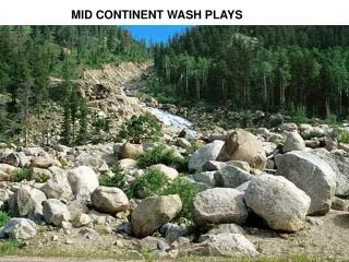
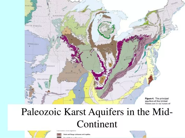
Paleozoic Karst Aquifers in the Mid-Continent. Biscayne Aquifer (Pleistocene) Floridan Aquifer (Tertiary) Edwards Aquifer (Cretaceous) Permian (Roswell in NM and Blaine in TX) Mississippian Silurian Cambrian-Ordovician (Nashville and Lexington, Ozarks, Arbuckle Mtns in OK)

E N D
Biscayne Aquifer (Pleistocene) Floridan Aquifer (Tertiary) Edwards Aquifer (Cretaceous) Permian (Roswell in NM and Blaine in TX) Mississippian Silurian Cambrian-Ordovician (Nashville and Lexington, Ozarks, Arbuckle Mtns in OK) Paleozoic Karst in the Appalachians
Michigan basin Illinois basin Finlay arch Cincinnati arch Lexington dome Nashville dome Mississippi embayment Wisconsin arch Ozark plateau
Important Hydro-Geomorphic Features in Karst Aquifers • Sinkholes: Recharge, ground stability • Estevelles: Recharge and discharge • Vertical fractures w/dissolution: Recharge/discharge • Epikarst: Storage • Solution channels: water pathways; high velocity flow • Springs: Focused discharge
Conceptual model for Paleozoic Karst Aquifer, Based on Mammoth Cave Area, KY
Fundamental difference in physics of flow Modeling Flow in Karst Conduits • Porous Aquifer, Darcy: • Conduit, Manning: Hr: hydraulic radius=x-section area/wetted perimeter n = wall roughness Conduit geometry and wall roughness highly variable —how to determine in the field for an aquifer?
Thickness of Springfield Aquifer Thickness of Ozark Aquifer
Regional potentiometric surface on Ozark Plateau and Western Interior Aquifer System
Cross-section on NW side of Ozark Plateau. Fresh water mixes with saline water in laterally equivalent units deeper in basin.