Download
1 / 16
160 likes | 411 Views
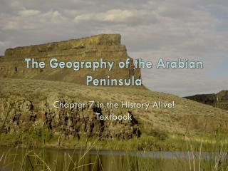
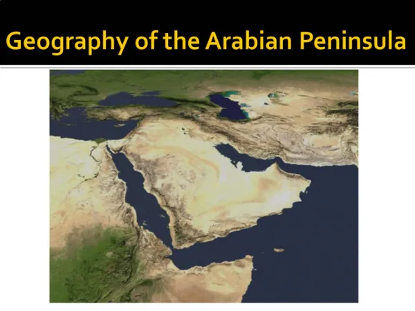
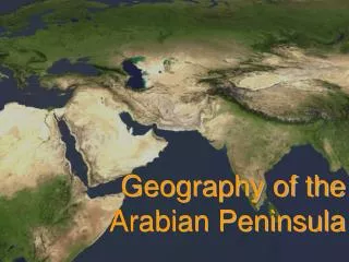
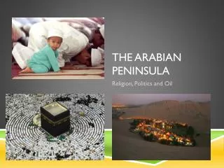
9.1 Physical Geography of the Arabian Peninsula, Iraq & Iran. The Arabian Peninsula contains the countries of: Saudi Arabia, Yemen, Oman, U.A.E., Qatar, Bahrain, & Kuwait . We also include Iraq and Iran in this region. Physical Features.

E N D
9.1 Physical Geography of the Arabian Peninsula, Iraq & Iran.
The Arabian Peninsula contains the countries of: Saudi Arabia, Yemen, Oman, U.A.E., Qatar, Bahrain, & Kuwait. We also include Iraq and Iran in this region.
Physical Features • The Arabian Peninsula has the largest sand desert in the world. • It also has huge areas of desert covered with bare rock or gravel. • The countries of this region form a sort of semi-circle with the Persian Gulf in the middle.
The Arabian Peninsula is also bordered by the Gulf of Oman, the Arabian Sea, & the Red Sea. • The Caspian Sea borders Iran to the north.
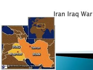
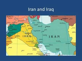
This region contains 4 major landforms: rivers, plains, plateaus, and mountains. • The Tigris & Euphrates Rivers flow across Iraq & empty in the Persian Gulf. • These rivers are considered “exotic rivers” because they begin in humid regions & then flow through dry areas.
The Arabian Peninsula has no permanent rivers. • Plains are located on the Eastern part of the Arabian Peninsula. • The mountains of Yemen are the highest point on the peninsula.
Plateaus and mountains cover most of Iran. • Iran is one of the world’s most mountainous countries. • The 3 mountains ranges of Iran are: the Zagros, the Elburz. And the Kopet-Dag. • These mountain ranges keep towns in Iran isolated from one another which makes it hard to govern the country at times.
Climate and Vegetation • Most of this region has a desert climate. • The world’s largest all-sand desert, the Rub-al-Khali covers much of southern Saudi Arabia. • The name means “Empty Quarter” because there is so little life living in this desert.
The Al Nafud is another desert in northern Saudi Arabia. • In both deserts there can sometimes be an oasis (a wet, fertile area in a desert that forms where underground water bubbles to the surface).
Resources • Water is one of the region’s two most valuable resources. • Throughout the deserts there are many wadis (dry streambeds). • Most of the groundwater found in wells in the region is fossil water (water that is not being replaced by rainfall).
Exports of oil bring great wealth to the countries that have oil fields. • Most of the oil fields found in the region are located near the shores of the Persian Gulf. • One major problem with oil is that it cannot be replaced once it’s taken from the earth. • A depletion of oil may hurt these countries in the future because most of the countries are not rich in any other resources.