Geography 地理 [ dìlǐ ]
120 likes | 316 Views
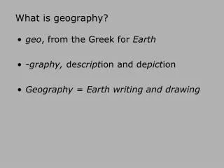
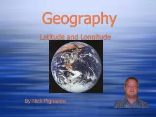
Geography 地理 [ dìlǐ ] . The science of the earth’s surface 表面 [ biǎomiàn ] (mountains, oceans 海洋 [ hǎiyáng ] , rivers 河 [ hé ] , countries 国家 guójiā , people and atmosphere 大气层 dàqìcéng . 1600 World Map. Geography Trivia Questions. How many countries are there in the world?

Geography 地理 [ dìlǐ ]
E N D
Presentation Transcript
Geography地理[dìlǐ] The science of the earth’s surface 表面[biǎomiàn] (mountains, oceans海洋[hǎiyáng] , rivers河[hé] , countries国家guójiā, people and atmosphere大气层dàqìcéng.
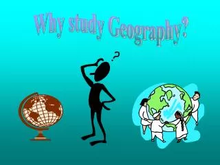
Geography Trivia Questions • How many countries are there in the world? • What is the tallest mountain, the two longest rivers, the deepest ocean, the largest glacier冰川[bīngchuān] , • What is the International Dateline? 194 (Not including Taiwan) Mount Everest Nile River, Amazon River In the Western Pacific, south of Japan and north of New Guinea, and to the east of the Mariana Islands is the lowest elevation of the surface of the Earth's crust. Known as the Mariana Trench, the trench is nearly 1,580 miles (2,550 kms) long and 43 miles (69 km) wide, its deepest part is known as the Challenger Deep. The Lambert Glacier, located in East Antartica, is the largest on Earth. 250 miles (400 km) long, 60 miles (100 km) wide, and 2,500 meters deep.
What time is it now? • The International Dateline • The Prime Meridian is the meridian of longitude that passes through Greenwich, England. On the opposite side of the Earth at 180 ° longitude lies an imaginary line called the International Dateline.
Greenwich Mean Time 格林尼治标准时间gélínnízhìbiāozhǔnshíjiān
Latitude & Longitude Latitude 纬度wěidù Longitude 经度jīngdù
Latitude and longitude of Beijing • Beijing, China: 39 : 55 N : 116 : 25 E :
Magellan! • If you took a cruise on a ship, traveling around the whole world, you would understand the importance of an international dateline. Ferdinand Magellan did just that in the year 1519. Magellan along with 241 men set out to travel around the entire Earth. When they returned, they found that their calendars were off by one day with the calendars of everyone in their home countries. What happened? How did these men loose an entire day? The day was not lost all at once. It was lost little by little, as the traveled around the Earth.
North East South West • What countries are East of China? • What countries are North of China? • What countries are South of China? • What countries are West of China? • What country is North of the U.S.? • What countries are South of the U.S.? • What ocean is East of the U.S? • What ocean is West of the U.S.?