Download
1 / 17
170 likes | 283 Views
Learn how to craft a comprehensive weather discussion using NWS examples, past & future weather insights, linking observations to forecasts, and model comparison tips.

E N D
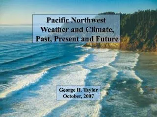
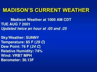
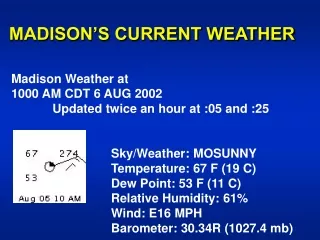
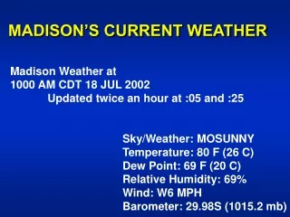
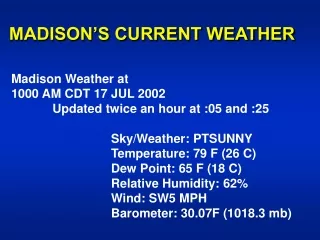
A few tips on writing a good forecast discussion:Monday, January 24 NWS Discussion as an exampleAtmo 456Conlee/Seroka
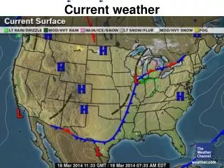
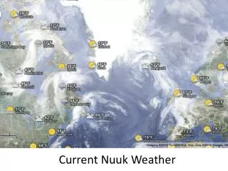
Past and Current Weather • Explain recent past weather and current weather through: • Observations • Satellite imagery • Radar imagery • Synoptic set up
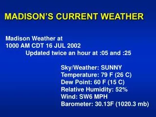
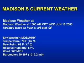
1. Past and Current Weather • What NWS had: • Surface high over S. Texas early morning dry cool conditions
1. Past and Current Weather • What NWS had: • Surface high over S. Texas early morning dry cool conditions • Water vapor imagery shows upper level trough axis east of area
1. Past and Current Weather • What NWS had: • Surface high over S. Texas early morning dry cool conditions • Water vapor imagery shows upper level trough axis east of area • No shortwaves as in Sunday with “surprise convection”
2. Future Weather • Provide details of day-by-day forecast-- not just weather but weather systems • e.g. NWS had: • Mostly clear skies through Tuesday • Min temps close to normal, max temps slightly above normal • Few high clouds over area tonight • **Upper low to reach northern Baja early Wednesday, then trek east reaching West Texas Thursday
2. Future Weather • Connect weather to weather systems • i.e. provide cause and effect • e.g. NWS had: • Onshore surface winds return Tuesday afternoon as high moves east • Low level jet reestablished Tuesday night, strengthen to 50 kts Thursday • Stratus fill in Tuesday night • Min temps in evening before clouds move in • PWAT values to an inch Wednesday
2. Future Weather • Connect weather to weather systems • i.e. provide cause and effect • e.g. NWS had: • Onshore surface winds return Tuesday afternoon as high moves east • Low level jet reestablished Tuesday night, strengthen to 50 kts Thursday • Stratus fill in Tuesday night • Min temps in evening before clouds move in • PWAT values to an inch Wednesday • Warm advection mostly cloudy, few light showers Wednesday • Upper flow diffluent Thursday as trough and associated 120 kt jet max at 300 mb approach from west
2. Future Weather • Provide model trends and comparisons • GFS vs. NAM/WRF vs. ECMWF • 12Z run vs. 06Z run • E.g. NWS had: • “have followed 06Z GFS for timing of front which is a few hours slower than the 00Z run” • Models trending colder in wake of front as huge chunk of cold air pulled into system • 850 mb temps to -6C midday Friday
Some common errors • lower temperatures (not colder temperatures) • low pressure, high pressure (not low-pressure, high-pressure) • winds from the northwest (not Northwest)