Comprehensive Inventory Management for Navigation Projects
This detailed inventory management system provides essential information on navigation projects, locks, docks, and related characteristics. It includes location details, ownership, operating status, contact information, dimensions, safety measures, and more. The system covers various aspects such as waterway depths, commodities transported, special considerations, and geographical coordinates for effective project monitoring. Users can access crucial data on state, county, waterways, and other key parameters to streamline project management efficiently.

Comprehensive Inventory Management for Navigation Projects
E N D
Presentation Transcript
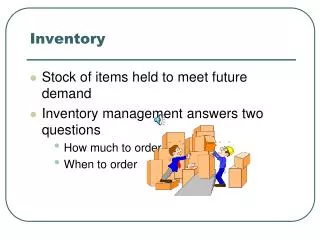
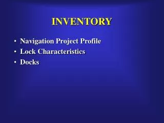
INVENTORY • Navigation Project Profile • Lock Characteristics • Docks
Corps Projects Project Type Location State County Cong Dist Waterway Watershed EROC Depths PWSI Type Shallow Deep Inland HMF/IWFT Refuge, Subsistence, USCG… etc Special Considerations Lat/Long NAVIGATION PROJECT PROFILE
Location State County Cong Dist Waterway Watershed EROC Chambers Ownership Operator Status Gate Type In Service Date Size Contact Information Pool Mooring Radio Call Sign Lat/Long Lock Characteristics
Location State County Cong Dist Waterway Watershed EROC Port Bank Depths, Width & Length Owner Contact Information Land Side Storage Transportation Connections Commodity Operator Special Considerations Lat/Long Dock Construction Commercial Docks
Navigation - Locks Dimensions Measures Direction
NAV LOCKS ABC HYDR REC FDR ES EC REG Safety DRDG VTN E-Gov OMBIL-PLUS OLAP ABS CORPS MAP CEFMS OMBIL-PLUS DATA WAREHOUSE DPN P2 NRRS FEM NAV REG Safety OMBIL LPMS DIS WCS E-APP ORM NAV EC FDR HYDR REC ES OSH ENGLink LC NPP NID GDAC VERS WPNI OMBIL PLUS
OMBIL PLUS NAV LOCKS ABC HYDR REC FDR ES EC REG Safety DRDG VTN E-Gov OMBIL-PLUS OLAP ABS CORPS MAP CEFMS OMBIL-PLUS DATA WAREHOUSE DPN P2 NRRS FEM NAV REG Safety OMBIL LPMS DIS WCS E-APP ORM NAV EC FDR HYDR REC ES OSH ENGLink LC NPP NID GDAC VERS WPNI