Download
1 / 52
520 likes | 606 Views
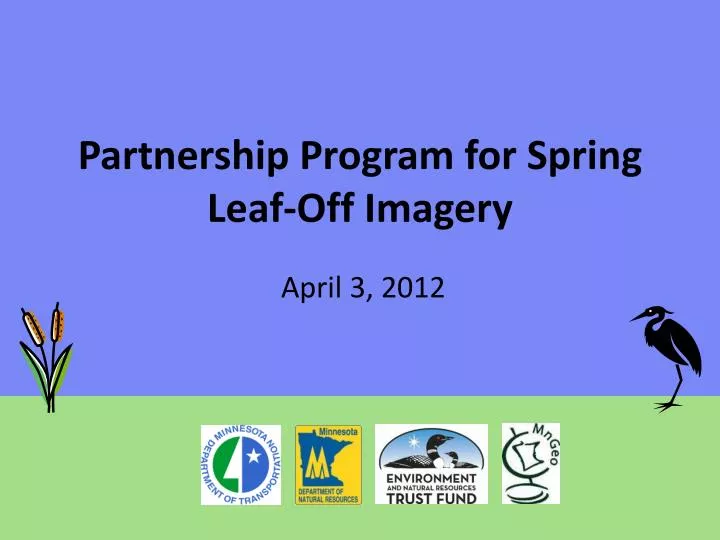
Partnership Program for Spring Leaf-Off Imagery. April 3, 2012. Agenda for Today’s Meeting. Introductions and Overview Project Specifications Acquisition Region(s) Control Targets Project Status Partnership Opportunities & Schedule. Steering Committee. Steve Kloiber – MnDNR

E N D
Partnership Program for Spring Leaf-Off Imagery April 3, 2012
Agenda for Today’s Meeting • Introductions and Overview • Project Specifications • Acquisition Region(s) • Control Targets • Project Status • Partnership Opportunities & Schedule
Steering Committee • Steve Kloiber – MnDNR • Primary funding partner; technical guidance • Chris Cialek – MnGeo • Project management, coordination, contracting • Pete Jenkins – MnDOT • Control target coordination; technical guidance
Overview • Statewide project to collect leaf-off color imagery over 5 years • Spurred on by DNR efforts to update wetlands mapping • 0.5-meter (20-inch) nominal GSD • Offer local partnership options to buy-up at improved 1-foot GSD
Project Specifications Four Spectral Bands Near IR Red Natural Color Green Blue Color Infrared
Project Specifications - Format • Ortho-rectified quarter quad (tif) • Compressed county mosaic (jp2) • Digital stereo pairs (tif)
What Ground Sample Distance? • Cost vs. benefit • Managing risk • Tight time window • Large, complex project • Manage the number of variables/requirements “Don’t pay for higher resolution if you don’t need it.”
Definitions • Image Scale is the ratio between its size on the image and its actual size on the ground, but with most viewers you can zoom-in and zoom-out changing the scale. • Ground Sample Distance is the actual size of the ground that corresponds to an individual picture element (pixel).
What GSD Do You Need? • The ability to accurately resolve, or identify, specific features from an image is a function of many variables • Size of the feature • Ground sample distance • Contrast with background
What GSD Do You Need? • Aronoff (2005) – Assumes user can see a feature as small as 1/300th of an inch • GSD(meters) x 12000 = scale denominator • Kloiber – Assumes user needs at least three pixels for a 1280 x 1024 screen (19-inch diag.) • GSD(meters) x 10000 = scale denominator • Both of these are rather conservative
GSD Comparison 1:3000 0.5-meter GSD 1-meter GSD 1-meter vs. 0.5-meter
GSD Comparison 1:2000 12-inch GSD 0.5-meter GSD 0.5-meter vs. 1-foot
GSD Comparison 1:1200 12-inch GSD 0.5-meter GSD 0.5-meter vs. 1-foot
GSD Comparison 1:600 12-inch GSD 0.5-meter GSD 0.5-meter vs. 1-foot
GSD Comparison 1:1200 12-inch GSD 6-inch GSD 1-foot vs. 6-inch
GSD Comparison 1:600 6-inch GSD 12-inch GSD 1-foot vs. 6-inch
GSD Comparison 1:300 6-inch GSD 12-inch GSD 1-foot vs. 6-inch
GSD Comparison 1:600 6-inch GSD 12-inch GSD 1-foot vs. 6-inch
Project Specifications – Positional Accuracy 1) Assumes you need at least three pixels to define feature edge Tested 95% Accuracy Northeast 2009 = ±11.5 ft East-Central 2010 = ±4.40 ft South 2011 = ±4.65 ft
Central Acquisition - 2013 14.2 Million Acres
Northwest Acquisition – (2014?) 10.5 Million Acres
2011 Target Requirements • Two ways to capture target data • Targets (2008) • Physical features
Documentation • 2008 FSA Observation Sheet • Use the same form • Pictures are necessary • Will share data with FSA
What is Needed? • Existing targets need to be re-painted • New targets for counties with low numbers • Follow up with documentation
Spring Leaf-Off Imagery for Minnesota THANK YOU FOR ATTENDING Q & A steve.kloiber@state.mn.us 651.259.5164 chris.cialek@state.mn.us 651.201.2481 peter.jenkins@state.mn.us 651.366.3457
SAIP Partnership Opportunities • Standard Statewide coverage: • ½ meter (1.6 feet) • Four band; leaf off • Stereo and ortho(no provision for oblique at this time) • Buy-ups offer: • Increased resolution/detail • Improved accuracy • Complete specific area of interest • Volume pricing
SAIP Partnership Opportunities • How? • Joint Powers Agreement • Interagency Agreement • Purchase Order
2010 Metro Imagery Partnerships CONTRACT INTERAGENCY AGREEMENT PURCHASE ORDER JOINT POWERS AGREEMENT DNR Metropolitan Council INFORMAL AGREEMENT Rice County MnGeo USGS/NGA Dakota County Scott County MMCD
Comparative Costs *2 foot resolution 1 ASPRS Accuracy Class I 2 ASPRS Accuracy Class II
Tentative Schedule 2012 • March – May: Partnership information meetings • November: Letters of intent • December: RFP issued 2013 • January – March: Proposals due/evaluated, final vendor negotiations, award made, partnership Joint Powers Agreements executed • March – May: Field observations, control point refresh, flights • May – November: Data delivered evaluated; QA/QC • December: Final delivery, acceptance
Data Management • Quarter quadrangle GeoTiffs, county mosaics, stereo, metadata • Data storage at DNR, partner organizations, back-up at MnGeo • Publicly available • Accessible through Web Mapping Service
http://www.mngeo.state.mn.us/chouse/wms/geo_image_server.htmlhttp://www.mngeo.state.mn.us/chouse/wms/geo_image_server.html