Download
1 / 15
150 likes | 169 Views
This article discusses the usage of Synthetic Aperture Radar (SAR) data at the National Ice Center (NIC) to meet the operational requirements of U.S. national interests and provide specialized meteorological and oceanographic services. It also highlights the need for continued affordable access to SAR data and proposed initiatives for future SAR access.

E N D
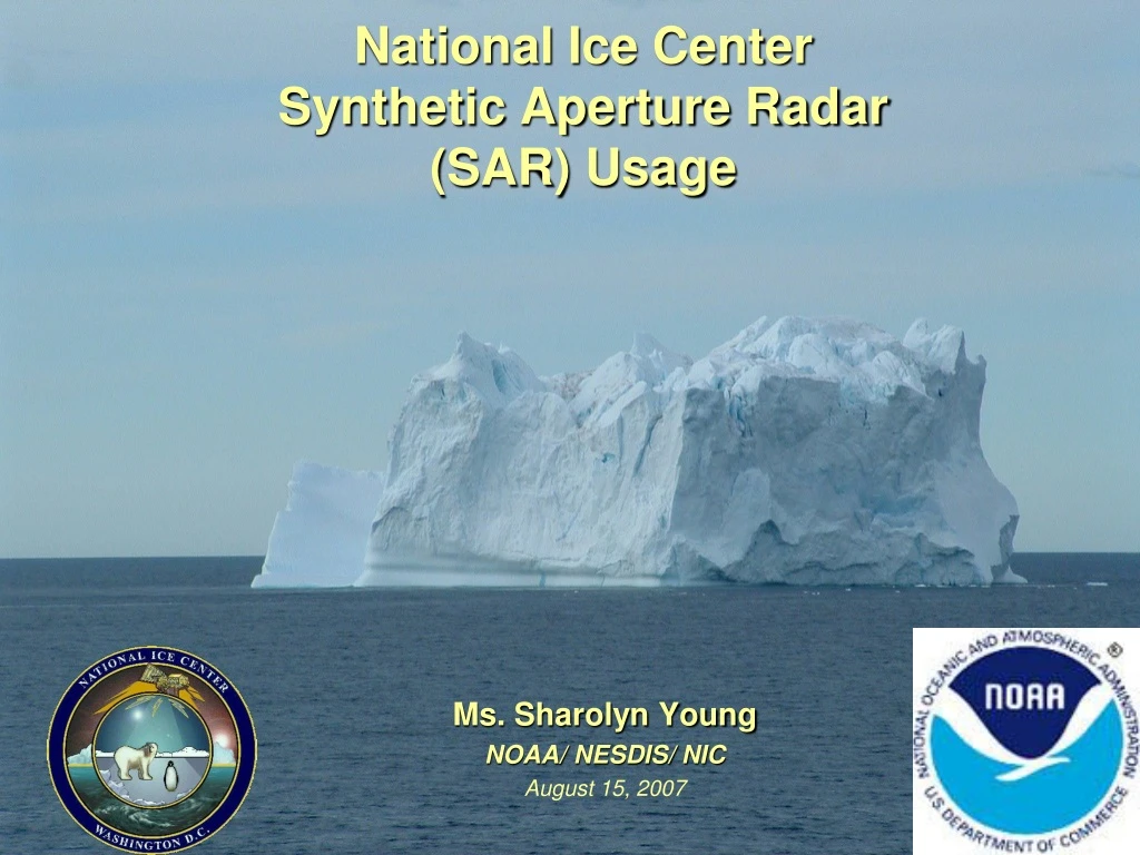
National Ice Center Synthetic Aperture Radar (SAR) Usage Ms. Sharolyn Young NOAA/ NESDIS/ NIC August 15, 2007
NATIONAL ICE CENTER The Nation’s Single Inter-agency for Operational Ice Analysis and Forecasting • Navy-NOAA-USCG MOA Annex II (NAVICE-NESDIS-USCG) • Formation of National Ice Center 1995 • Annex II Update Signed 21July 2005
NATIONAL ICE CENTER Vision: Center of excellence in global ice meteorology and oceanographic services. Mission: To provide the highest quality strategic and tactical ice services tailored to meet the operational requirements of U.S. national interests. To provide specialized meteorological and oceanographic services to U.S. government agencies.
Access to Commercial SAR Data • At present, the following SAR mission can potentially supply the demand of data currently used to fulfill US government requirements. - All SAR data provided to the US from international missions: Canadian RADARSAT-1 European Space Agency’s Envisat ASAR Japanese ALOS PALSAR • SAR is the only sensor with required combination of: Aerial Coverage (global) High Resolution Cloud Discerning (Arctic & cold regions are cloud covered 75-80 % of typical winter season) • NOAA/NICMAJOR CONCERN & PRIORITY: Insuring continued affordable access to SAR data.
SAR Data Requirements • Support NOAA’s Mission Goals • Goal (4) Support the Nation’s Commerce with Information for Safe, Efficient and Environmentally Sound Transportation • - NIC ice nowcast and forecast information support vital civilian and military shipping in waters that contain navigational ice hazards. • Goal (3) Serve society’s need for weather and water information. • - Products provides real-time ice nowcast to improve accuracy of NWS weather prediction model outputs • Goal (2) Understand Climate Variability and Change to Enhance Society’s Ability to Plan and Respond • - Polar research activities contribute to better understanding of cryosphere and oceans
SAR Requirements (con’t) • Support NAVY Operational Mission Requirements: • SUBFORCE letter 21 SEP 05 (validated by CFFC) • Daily Ice edge/Marginal Ice Zone • Fractures, Leads, Polynyas • Ice thickness twice per week • • Office of Naval Intelligence • • Request for classified products • Current and expected ice conditions in harbors • Ice thickness and icebreaking rqmnts in harbors • Navy Atlantic METOC Center letter 05 SEP 03 (OTSR Support) • Route specific ice edge information, iceberg position • Support USCG Icebreaking Missions: • DISTRICT 5 AND 9 MOA’S • International Ice Patrol • Ches/Del Bay, Great Lakes icebreaking operations • * Ice Impacts On Safety Of Life And Commerce At Sea
FY07 Access to SAR Data RADARSAT-1 (R-1) • Received by U.S. Government (USG) under NASA/NOAA/Canadian Space Agency (CSA) MOU Under this MOU: • R-1 data currently being received over Western Arctic and processed at Alaska Satellite Facility (ASF) for an annual fee of $185K. • SAR over Great Lakes area received from CSA in exchange for SAR over Alaska Region. • Images over all other NIC AOR’s (Eastern Arctic, Antarctic) • Currently 90% of Navy SAR requirements now met via NGA funding. CONCERNS: 1) RADARSAT-1 MOU extension will expire upon launch & checkout of RADARSAT-2 (est. launch is the 3rd Qtr of CY2007 + 3 months checkout) or November 2007. 2) R-2 is a commercial mission and currently NOAA/Navy expected to pay commercial ratesfor data beginning FY08 & beyond. (est. $2000.00 per scene)
Planned (FY08) Access to SAR Data Japanese Advanced Land Observing Satellite (ALOS ) PALSAR Data • NOAA/JAXA (Japan Aerospace Exploration Agency) /ASF Agreements • JAXA/ASF/NESDIS MOU: ASF will process and provide 1800 NRT SAR imagers/yr within Alaska station mask • NASA/NOAA/JAXA/ASF Agreement • NOAA/JAXA MOU designates ASF as the Americas Data Node • U.S. Government PALSAR Data Consortium • JAXA authorized distribution of ALOS data through regional nodes • ASF Station mask to offer NRT processed data @ $125 per scene • US government PALSAR data consortium could lower cost and enable sharing of data amongst government agencies and sponsored researchers. • A shared cost of $450K/yr for 11,000 scenes/yr would cost about $41/scene (compared to $125/scene). • A shared NOAA partnership investment could enable cost effective purchase additional Alaska data, Great Lakes and other NIC SAR required data. Concerns: Although data becomes operational in 2007, it is still uncertain how accurate L-band data will be for winter ice imaging
Proposed Initiatives for Future SAR Access RADARSAT-1 (R-1) The Canadian Space Agency (CSA) has approved funding to extend operation of the RADARSAT-1 (R-1) satellite throughout the International Polar Year (IPY) to March 2009 Concern: For Research use only Craig Dobson (NASA) and Eric Madsen (NOAA) currently pursuing a R-1 Extension Agreement with CSA which addresses USA contribution (downlink and ground station assets) for the continued operating of R-1 through IPY. ISSUE: Basic language designates Non-Operational use only Announcements of Opportunities/Demo Projects - Work on International Cooperative Agreements to Acquire Data from Future SAR Satellites - Federal Government/Private Industry Ventures - NOAA Partnerships Issue: No guaranteed operational Data obtained without additional investment funds
FY 06 RS-1 Data Use via RadarSat-1 MOU Gatineau, Canada for NSF Fairbanks, Alaska 17 Gatineau, Canada thru CIS and NOAA Exchange Agreement (Great Lakes Region) • 8875 350 2006 Total: 8922 SCW Frames
FY 07 RS-1 Data Use (Naval Ice Center mission) Via NGA* Gatineau, Canada Tromso, Norway 313 2831 *NGA funded for images to cover of the East Arctic, Greenland, Yellow Sea, Sea of Okhotsk, and Sea of Japan Total Funding: FY 07 (June 2006 – August 2007) - $5.8 FY08 (September 2007 – August 2008) - $8.2 2006 Total: 3144 SCW Frames
NIC SAR Usage Focused Area Analyses Fixed locations such as ports, harbors, river mouths, channels and sounds Large Area Analysis Global Ice monitoring for maritime and land-based operations, transits, and search and rescue operations Area Mapping SAR is beneficial for ice climatology, which can be added to area maps Area Feature & Surface Type Identification In Polar areas, ice can be present on a permanent, seasonal or temporary scale Ice can affect the availability of piers, channels and freeways Fast ice and large ice floes can also be used tactically as roads or landing sites Flood Assessment & Mitigation Support Ice can cause "ice jams" that effectively dam rivers and cause flooding
SAR Usage Sea ice, Iceberg & Obstacle Detection Sea ice analysis and forecasting is critical to submarine, icebreaking, ice transiting, and on-ice operations Sea ice monitoring on a regular basis provides a database for climatology studies Pollution Assessment & Mitigation Support SAR is capable of detecting pollution events such as oil spills or large scale oil dumps in the open ocean
NIC SAR Imaging Requirements NIC uses primarily ScanSAR Wide for scale analysis. Occasionally, the NIC requires higher resolution imagery for tactical scale analysis and Iceberg detection. The examples below are based on Radarsat 1 specifications: ScanSAR Wide 100 meter nominal spatial resolution 500 X 500 km swath width ScanSAR Narrow 50 meter nominal spatial resolution 300 X 300 km swath width Standard 30 meter nominal spatial resolution 100 X 100 km swath width Wide 30 meter nominal spatial resolution 300 X 300 km swath width