Download
1 / 9
90 likes | 110 Views
This article highlights the discussions held in Corvallis regarding the Analysis Ready Data (ARD) for Landsat. The ARD includes Level-1Ts as inputs, seamless mosaic of cloud-free pixels, pixel-based layers processed to higher levels of temporal aggregation, and advanced corrections applied. The article emphasizes the need for product development prioritization, credible approaches, and external science peer review. It also provides an overview of the ARD definition, basic properties, and the roadmap for ARD implementation.

E N D
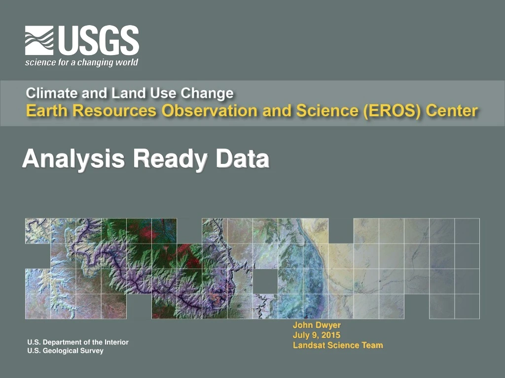
Analysis Ready Data John Dwyer July 9, 2015 Landsat Science Team
Highlights from Corvallis Discussions • Level-1Ts as inputs (Versions) • Analysis Ready Data (Collections) • Seamless (mosaicked) • Cloud free pixels • Pixel-based layers processed to higher levels of temporal aggregation • Advanced corrections applied • Includes all data in the archive • Provenance and traceability • Derived Landsat Science Products • Geophysical properties, biophysical conditions • Land cover characteristics and dynamics
Other Considerations • Consider broad community requirements, and pay close attention to product definitions and standards identified in several existing international documents • All product development activities should be prioritized. • Consider feasibility of USGS production capabilities. • Ultimately, products need to be generated from the full Landsat archive, including MSS. However, the need to phase development by instrument groups is recognized. • Look to the broader community for credible approaches and products. Avoid un-vetted internal approaches. • Algorithm Theoretical Basis Documents (ATDB) are needed for every product. • All product specifications and production methods must be subjected to an external science peer review.
Analysis Ready Data (ARD) Definition • Data processed to a level that enables direct use in quantitative applications including • Exploratory data analysis and numerical modeling • Geospatial, multispectral, and multi-temporal manipulation for purposes of data reduction, analysis, and interpretation • Assumptions • Geolocation – pixels align • Cross calibration – information is comparable • Data organization – efficient access to data
Basic Properties • What makes data analysis ready? • Consistency across the instrument record • Individual pixel observations • Terrain- and precision-correction • Common cartographic projection and gridding • Absolute calibration & spectral band adjustment • Surface reflectance and temperature • Pixel-level metadata: Cloud (including cirrus), cloud shadow, saturation, data artifact, terrain occlusion, snow/ice masks • BRDF normalization (driven by harmonization with Sentinel-2 MSI data)
Collection 1 Base Layer – Surface Reflectance / Brightness Temperature • US Data • Geometry • Albers Equal Area for CONUS and Alaska • 30-meter pixel size for all bands • Radiometry • Data Values: Scaled and calibrated 16 bit integer reflectance / temperature values • Metadata • Carry over level1 metadata and add sufficient metadata to track pixel-level characteristics • Other Attributes / Components • Collection Based (Version #, Collection #) • QA Band • Unsigned 16- or 8-bit integer format • Is carried through from Level-1 that includes cloud, cloud shadow, cirrus, terrain occlusion, artifacts, snow/ice, and saturation • Sun and sensor viewing angles [most likely generated from coefficients] • Stored in consistent geometric tiles to support seamless data access • The method (size of tiles and format) will support the access use cases • Data are delivered in formats defined by use cases
Product Roadmap Considerations Metadata model – Versioning - Traceability (Metadata schema) Level-0R • Analysis ready data are geophysical parameters generated at Level-2 • Higher level information products generated at Level-3 • Level-2 and -3 products are geometrically aligned, units are traceable, uncertainty analyses are documented, data and metadata stored for efficient access (Information Warehouse) • API enables access to perform screening, filtering, temporal compositing, data reduction, exploratory analysis, information retrieval Level-1T (CPFs, GCPs, Projection, Resampling, Pixel QA attributes) Level-2 (Algorithm, radiative transfer model, reanalysis data) Surface reflectance, Surface temperature (bandpass adjustments) Level-3 (Training & validation data, DEM, climatology) Continuous change detection & classification, dynamic surface water extent, burned area, spectral indices
ARD Projection Parameters • U.S. projection parameters consistent with National Land Cover Dataset and LandFire products • Global projection specifications are TBD