Zone 1a & 1b
50 likes | 166 Views
This project focuses on developing north-south and east-west trail systems to connect Hull/Gatineau with Chelsea and the Gatineau Park area. Immediate challenges include mapping existing trails and creating new routes that promote active transport, enabling residents to easily reach neighborhoods in Chelsea. Accomplishments involve collaborations with developers and community groups to enhance connectivity and accessibility within the Chelsea community. Current investigations include potential crossings over Chelsea Creek and utilizing culverts under Route 5 for improved connectivity.

Zone 1a & 1b
E N D
Presentation Transcript
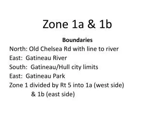
Zone 1a & 1b Boundaries North: Old Chelsea Rd with line to river East: Gatineau River South: Gatineau/Hull city limits East: Gatineau Park Zone 1 divided by Rt 5 into 1a (west side) & 1b (east side)
Zones 1a & 1b 1a 1b
Immediate Challenges • Develop North-South artery trails connecting the cities of Hull/Gatineau with Chelsea and the East-West "artery" trails that will connect the park with the river. • Mapping existing & creating new trails that will link communities with the goal of being able to reach neighborhoods in Chelsea via “active transport.”
Accomplishments • Working with developers and community groups to develop trails that connect neighborhoods to arterial trails that allow access to entire Chelsea community . • SCT with Common Ground (Hendrik’s Farm) exploring submitting a grant proposal that will involve a north-south connection crossing Chelsea Creek. • Investigated using culverts under Rt 5 for East-West crossings.