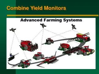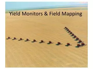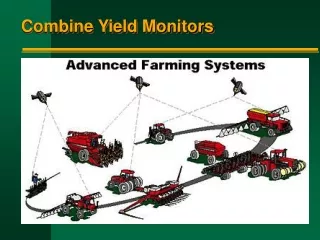
Yield Monitors and Maps
430 likes | 647 Views
Yield Monitors and Maps. BAE 4213 April 12, 2007 Randy Taylor Biosystems and Ag Engineering. What Are the Tasks?. Measure grain flow Mass or Volume Flow Sensor Measure ground speed Existing ground speed sensor or position sensor signal Program harvest width

Yield Monitors and Maps
E N D
Presentation Transcript
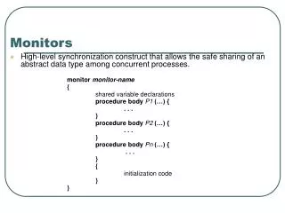
Yield Monitors and Maps BAE 4213 April 12, 2007 Randy Taylor Biosystems and Ag Engineering
What Are the Tasks? • Measure grain flow • Mass or Volume Flow Sensor • Measure ground speed • Existing ground speed sensor or position sensor signal • Program harvest width • Programmed as a constant value or changed on-the-go • Combine position • GPS Position Sensor
Yield Monitor Errors • How do we calculate yield • Yield errors must be related to one of these 3 measurements: mass, length, width • For a yield monitor • Mass is determined from the flow sensor • Width is a programmed constant • Length is determined from speed
Width • When do errors occur? • header not full (i.e. harvest width does not match header width) • How do we fix it? • Adjust on the go => bad idea • How much error are we really talking about? • U of Missouri research found it was 8-12% in drilled beans if they assumed constant full header • How much do you have to reduce harvest width to get area (field) to be accurate?
Distance Errors • UNL Research harvesting up & down slope found no significant difference in mass accumulation. • However they found a 42’ difference going uphill verses down on a 6% slope • Though GPS was the intended speed signal, differences in end points was not observed in a GIS • The greater distance measurements going uphill cause a reduction in calculated yield
Mass Flow Measurement Errors • Combine Dynamics • Calibration
Combine Dynamics • Crop is cut or removed from plant • Conveyed to feeder house in the header • Conveyed to threshing unit (cylinder or rotor) • ~80% of separation should occur during threshing • ~20% of grain goes on to separation (rotor or straw walkers) • Grain that falls on the cleaning shoe should pass through near the front of the shoe • Grain that goes through the returns All of these affect the grain flow relative to its former location in the field
Sensor Calibration • Response to mass flow is non linear • Diaphragm vs Triangular • Can get a very good fit with linear • Operating at points away from one calibration can cause errors • Where do we see these? • Start and stop grain flow
Using YM for OFR • 50% of the error between weigh wagon and yield monitor weights was due to mass flow • Correlation between yield monitor and weigh wagon weights was 0.97 • Regression results lead to the same conclusions regarding the treatments • Challenging to rank treatments with YM data
What Can a Yield Map Tell Us? • Soil fertility, type, etc. • Disease or insect pressure • Variety differences • Poorly drained areas • Compacted areas • Does not point out the yield limiting variable, it only indicates the response to it
Using YM Data • Diagnosing Crop Production • Estimating Nutrient Removal • On-Farm Research • Establishing Yield Potential (Goals)
Diagnosing Crop Production • Probably the most widespread use for yield maps today • Print maps to keep records on • Select appropriate ranges • Number of ranges • Spread (don’t create or exaggerate variability) • Color scheme
Problem Diagnoses Wire worm infestation Crop drowned
Presenting Yield Maps • 5 – 6 ranges or groups maximum • Based on • Natural Break • Even Intervals • Predefined Crop • Standard Deviation • Percent of Average • Color Scheme
Dryland Wheat Even Intervals 1996 1997
Dryland Wheat Predefined Crop 1996 1997
Dryland Wheat Percent of Average 1996 1997
Data Aggregation • Point data • Contouring • Some type of interpolation • Likely have minimal or confusing choices • Grid • Interpolated • Averaged • Summed
Points versus Interpolation How many of the dark blue points are zero yield?
Header Status Raised the mean yield about 5 bu/ac, but did it really make a difference?
Irrigated Corn/Beans Normalized Yield 1996 Beans/Corn 1997 Corn Beans Corn
Interpreting Patterns • Straight lines are manmade • Parallel with travel • At an angle with travel patterns • Irregular patterns are generally naturally occurring • Lines • Areas/patches
Yield Variability • Many causes of yield variability • Yield monitors and maps don’t determine the cause • Yield maps display the location and magnitude (area and degree) • This information should lead to better decisions
Yield Variability • That which can be changed • Fertility • That which must be managed • Soil physical properties
On-Farm Research • Has the potential to expand knowledge about individual farms • Comparison of varieties, tillage practices, fertility rates, etc. • Not as easy as it may seem • What do you want to know? • Why do you want to know it?
Yield Topsoil Population Layering Maps
Prescribing Spatial Inputs • Some input recommendation models require the use of a crop yield goal • Development of a nutrient recommendation map may require the use of a yield goal map • How can you generate variable yield goals?
Yield Stability Analysis • Data were obtained with various yield monitors • Converted to point yield and unrealistic values were removed • Data were block averaged to 180 foot cells
‘Whisker Plots’ of YM Data Points are the mean relative difference for each cell Bars are the standard deviation of yield through time.
Mean Relative Difference • Standard statistical analysis offers minimal insight into spatial data • Low yielding cells tend to be more variable • There is a better opportunity to classify consistently low yielding areas • Because like classed cells were spatially contiguous, this method showed more promise than typical methods
Conclusions • Yield monitor data can be used for anything that yield data are used for • Diagnosing Crop Production • Estimating Nutrient Removal • On-Farm Research • Establishing Yield Potential (Goals)