Building an Interdisciplinary Network for Geospatial Data Sharing and Interoperability
The Spatial Ontology Community of Practice (SOCoP) is a collaborative network aiming to enhance geospatial data sharing, integration, and interoperability through semantic technologies. Led by experts from institutions such as Raytheon BBN Technologies and the University of Wisconsin-Madison, SOCoP focuses on developing ontologies that promote data interoperability, including GeoSPARQL queries and semantic trajectories. Our outreach programs, supported by the National Science Foundation, emphasize community-based data interoperability to broaden academic and practical applications in GIS and related fields.

Building an Interdisciplinary Network for Geospatial Data Sharing and Interoperability
E N D
Presentation Transcript
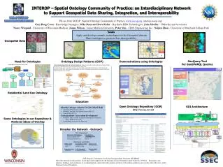
INTEROP – Spatial Ontology Community of Practice: an Interdisciplinary Network to Support Geospatial Data Sharing, Integration, and Interoperability • PIs are from SOCoP (Spatial Ontology Community of Practice, www.socop.org, interop.socop.org): • Gary Berg-Cross - Knowledge Strategies, Mike Dean and Dave Kolas – Raytheon BBN Technologies, John Moeller - JJMoeller and Associates, • Nancy Wiegand- University of Wisconsin-Madison, James Wilson - James Madison University, Peter Yim- CIM3 Engineering, Inc., NaijunZhou - University of Maryland College Park • Goals • Apply and develop semantic technologies for the Geospatial domain • Share ontologies to promote data interoperability Geospatial Data GeoQuery Tool For GeoSPARQL Queries Ontology Design Patterns (ODP) A Geo-Ontology Design Pattern for Semantic Trajectories. Yingjie Hu, Krzysztof Janowicz, David Carral, Simon Scheider, Werner Kuhn, Gary Berg-Cross, Pascal Hitzler, Mike Dean, Dave Kolas, In: ThoraTenbrink, John G. Stell, Antony Galton, Zena Wood (Eds.): Spatial Information Theory - 11th International Conference, COSIT 2013, Scarborough, UK, September 2-6, 2013. Proceedings. Lecture Notes in Computer Science Vol. 8116, Springer, 2013, pp. 438-456. Demonstrations using Ontologies Need for Ontologies Residential Land Use Ontology Education Open Ontology Repository (OOR) http://socop.oor.net SDI Architecture • Identify Linkages with the UCGIS GIS&T BoK • Conceptual Foundations (CF1-1) • Metadata, standards, and infrastructures (GD12-2) • Critical GIS (GS7-1) • Undergraduate Curriculum Development • Geog465: Topics in GIS: Geospatial Ontologies & Semantics, • James Madison University • GeoSPARQLtutorial on the Wiki page Some Ontologies in our Repository & Notional Ideas of Overlap Broaden the Network - Outreach NSF Program: Community-based Data Interoperability Networks (INTEROP) Note: The material on this poster is based upon work supported by the National Science Foundation under Grant No. 0955816. Disclaimer: Any opinions, findings, and conclusions or recommendations expressed in this material are those of the authors and do not necessarily reflect the views of the National Science Foundation.