Download
1 / 28
280 likes | 415 Views
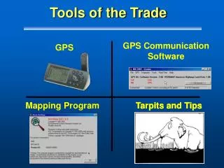
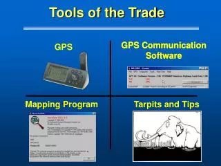
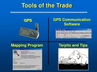
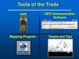
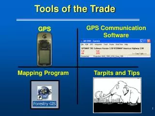
GPS Communication Software. GPS. GPS. Mapping Program. Tarpits and Tips. Tools of the Trade . Tools of the Trade - Part I. GPS. Garmin GPSMAP 76. Overview:. GPS - The Big Picture Discuss GPS Accuracy Review of GPS Receiver Types Why the Garmin GPSMAP 76S? Summary.

E N D
GPS CommunicationSoftware GPS GPS Mapping Program Tarpits and Tips Tools of the Trade
Tools of the Trade - Part I GPS Garmin GPSMAP 76
Overview: • GPS - The Big Picture • Discuss GPS Accuracy • Review of GPS Receiver Types • Why the Garmin GPSMAP 76S? • Summary
GPS - The Big Picture • GPS and Fire Applications • Navigation • Digital Data Collection
GPS - The Big Picture • Depending on size of fire, GPS will play a critical role in... • Marking location • Updating fire perimeter • Mapping fire effects • Mapping resources at risk • Data depicted in IAP next morning
Data Transfer GPS Field Work GIS Fire Incident Plans Cycle
Scale • Mode of Collection • Environment 25 acres 10 mile perim. • Quantity of Units • Technical Skill Levels Unique Aspects of Fire Mapping
Overview • GPS - The Big Picture • Discuss GPS Accuracy • Review of GPS Receiver Types • Why the Garmin GPSMAP 76S? • Summary
26ft How Accurate is GPS? • Today… • Department of Defense quote about 50 ft (17m) • ...but we’re getting 26 ft (8m) fairly reliably with good sky Even Better!
Accuracy Comparisons – Open* Garmins Horizontal Accuracy Garmin V 9 ft (3 m) GPSMap 76 12-18 ft (4-6 m) 12-18 ft (4-6 m) III Plus *Test sites used on this slide: Garmin V(NPS Bakerville); Garmin III+/Map76 (MTDC); GarminMap76 (MTDC;Nelson-USFS) *Tests – Internal Antenna, NO WAAS
GPS Under Canopy • Garmins51– 90 feet • Trimble9 – 24 feet Watch Out
Overview • GPS - The Big Picture • Discuss GPS Accuracy • Review of GPS Receiver Types • Why the Garmin GPSMAP 76S? • Summary
Review of GPS Receiver Types • Recreation Grade • Navigation • Fun • Basic Mapping
Review of GPS Receiver Types • Mapping/GIS Grade • GIS Features and Attributes • Professional Style Systems
Survey Grade • Boundaries, Precise Control Networks, Vertical Measurements Review of GPS Receiver Types
Decision Factors • Accuracy • Cost (hardware) • Nerd Factor Scale
Survey Grade • Accuracy: inches (mm – dm) • Costs: forgettaboutit • Nerd Factor: • Storage: weeks worth of data • Strategy: network adjustments • Lots of equipment
NERD Mapping/GIS Grade • Accuracy: submeter < 15 ft (5m) • Costs: $3,000 - $10,000 • Nerd Factor: • Storage: days worth of data • Strategy: GIS update • Misc...: • post-process software
Recreation Grade • Accuracy: 9 ft (3m) – 21 ft (7m) • Costs: $150 - $1500 • Nerd Factor: • Storage: hours worth of data • Strategy: waypoints, simple lines • Misc.... • handheld, moving map display
Recreation Grade GPS Wins! • Reasonable accuracy for mapping large things • Low receiver cost • Low nerd scale • Strategy set to enhance navigation capabilities • Low attribution requirements
Overview • The Big Picture • Discuss GPS Accuracy • GPS by Receiver Types • Why the Garmin GPSMap76? • Summary
Recreation Grade GPS • Recreation Grade Manufacturers • Garmin • Recognized World Leader • High Support Lowrance Garmin Magellan
Garmin GPSMap 76 12 ft Accuracy • $300 • 12 Channel GPS WAAS enabled • 8 MB of Map memory* • 1000 waypoints • 10,000 track points • 10 hours of battery life *Purchase of MapSource TOPO CD + $99
Garmin GPSMap 76 • Integrates well with GIS • DNR Garmin for upload/download is Fast and Efficient
Other Models (e.g. eTrex) • No time/date in comment field • No external antenna • No averaging Garmin GPSMap 76 • Unique Aspects • Antenna (Quadrifilar Helix) • It Floats • Averages waypoints • External Antenna capabilities
Limitations - GPSMap 76 • Weak Connection to External Antenna • Must hold UPRIGHT for best reception
Summary • GPS and Fire • Recreation grade GPS satisfies... • accuracy • costs • Garmin GPSMAP 76 - preferred model for this class
What’s in Store • Lots of Practice using GPS for navigation, with maps and data transfer to maps • Tomorrow - next in the series: • GPS Communication Programs