Download
1 / 39
390 likes | 485 Views
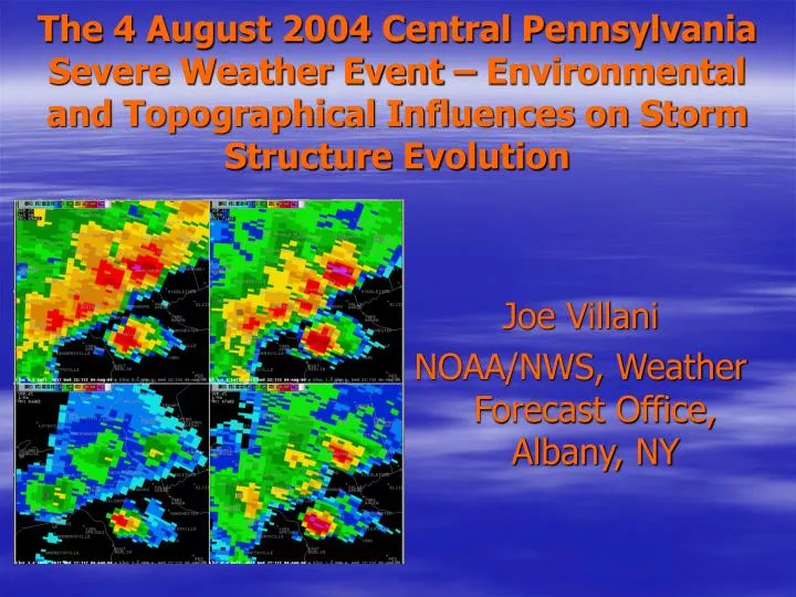
The 4 August 2004 Central Pennsylvania Severe Weather Event – Environmental and Topographical Influences on Storm Structure Evolution. Joe Villani NOAA/NWS, Weather Forecast Office, Albany, NY. Background.

E N D
The 4 August 2004 Central Pennsylvania Severe Weather Event – Environmental and Topographical Influences on Storm Structure Evolution Joe Villani NOAA/NWS, Weather Forecast Office, Albany, NY
Background • Tornadic thunderstorms moved through the Lower Susquehanna Valley during the evening of 4 August 2004. • Tornadoes touched down in several locations. • F0 and F1 tornadoes struck the Harrisburg metro area. • Resulted in numerous downed trees and structural damage to homes.
Motivation • Earlier, severe thunderstorms further to the west produced straight line wind damage, but no tornadoes. • Main objective: Determine what factors contributed to the evolution of straight line wind producing storms into tornado spawning storms.
Synoptic Overview- 1845 UTC Water Vapor, RUC 500 hPa Heights
Synoptic Overview- 1815 UTC Visible Satellite, Lightning Plot
Synoptic Overview- 1500 UTC Mean Sea Level Pressure, 3 Hr Pressure change, station plots
Synoptic Overview- 1800 UTC Mean Sea Level Pressure, 3 Hr Pressure change, station plots
Convective Parameters- 1900 UTC Convective Available Potential Energy (CAPE), Lifted Index
Significant Radar Features- Bow Echo: Centre County, Middle Susquehanna Valley1938 UTC: KCCX (State College) 0.5o Reflectivity, Storm Relative Motion (SRM)
Significant Radar Features- Bow Echo: Centre County, Middle Susquehanna Valley1943 UTC: KCCX 0.5o Reflectivity, SRM- Well-defined Mesocyclone
Significant Radar Features- Bow Echo: Centre County, Middle Susquehanna Valley1948 UTC: KCCX 0.5o Reflectivity, SRM- Circulation weakens
Significant Radar Features- Bow Echo: Centre County, Middle Susquehanna Valley2003 UTC: KCCX 0.5o Reflectivity, Base Velocity- Large area of 45-50 KTS
Significant Radar Features- Bow Echo: Centre County, Middle Susquehanna Valley2013 UTC: KCCX 0.5o Reflectivity, Base Velocity
Significant Radar Features- Bow Echo: Centre County, Middle Susquehanna Valley2038, 2043 UTC: KCCX 0.5o Reflectivity- Pronounced Rear Inflow Notch (RIN), classic structure RIN RIN
Significant Radar Features- Tornadic Mesocyclones: Lower Susquehanna Valley2138, 2142 UTC: KCCX 0.5o Reflectivity- Transitioned from Bows Echoes to Mesocyclones
Significant Radar Features- Tornadic Mesocyclones: Lower Susquehanna Valley2151 UTC: KCCX 0.5o Reflectivity, SRM- Mesocyclones develop quickly MESO
Significant Radar Features- Tornadic Mesocyclones: Lower Susquehanna Valley2155 UTC: KCCX 0.5o Reflectivity, SRM- Rotational convergence broadens
Significant Radar Features- Tornadic Mesocyclones: Lower Susquehanna Valley2156 UTC: KLWX (Sterling) 4-PanelReflectivity
Significant Radar Features- Tornadic Mesocyclones: Lower Susquehanna Valley2156 UTC: KLWX (Sterling) 4-PanelSRM
Significant Radar Features- Tornadic Mesocyclones: Lower Susquehanna Valley2159 UTC: KCCX 0.5o Reflectivity, SRM- Strong gate-to-gate shear develops
Significant Radar Features- Tornadic Mesocyclones: Lower Susquehanna Valley2201 UTC: KLWX 4-PanelReflectivity
Significant Radar Features- Tornadic Mesocyclones: Lower Susquehanna Valley2201 UTC: KLWX 4-PanelSRM
Significant Radar Features- Tornadic Mesocyclones: Lower Susquehanna Valley2204 UTC: KCCX 0.5o Reflectivity, SRM- Mesocyclone and gate-to-gate shear persists
Significant Radar Features- Tornadic Mesocyclones: Lower Susquehanna Valley2206 UTC: KLWX 4-PanelReflectivity
Significant Radar Features- Tornadic Mesocyclones: Lower Susquehanna Valley2206 UTC: KLWX 4-PanelSRM
Significant Radar Features- Tornadic Mesocyclones: Lower Susquehanna Valley2212 UTC: KCCX 0.5o Reflectivity, SRM- Mesocyclone over Harrisburg metro
Significant Radar Features- Tornadic Mesocyclones: Lower Susquehanna Valley2211 UTC: KLWX 4-PanelReflectivity, 71 dBZ core at 1.5o
Significant Radar Features- Tornadic Mesocyclones: Lower Susquehanna Valley2216 UTC: KCCX 0.5o Reflectivity, SRM- Mesocyclone persists east of Harrisburg
Significant Radar Features- Tornadic Mesocyclones: Lower Susquehanna Valley2216 UTC: KLWX 4-PanelReflectivity
Analysis/Conclusions • Main objective: Determine what factors contributed to the evolution of straight line wind producing storms into tornado spawning storms. • Two key factors were instrumental in generating sufficient low level wind shear for tornadogenesis to occur.
Analysis/Conclusions • Surface low pressure center moving eastward through south central PA just ahead of the convection induced a low level southerly wind component. • Topography of Lower Susquehanna Valley enhanced channeling of low level south to southeast flow up the valley.
Analysis- High Resolution Topographic Map Lower Susquehanna Valley
Analysis- 1800 UTC surface dewpoint image, wind barbs and streamlines
Analysis- 2100 UTC surface dewpoint image, wind barbs and streamlines
Synoptic Overview- 2000 UTC Mean Sea Level Pressure, 3 Hr Pressure change, station plots
Summary • A significant severe weather event with multiple F0 and F1 tornadoes touching down in the Lower Susquehanna Valley. • An F1 tornado in a northeast metropolitan area (Harrisburg). • Nearly $400K in property damage. • Fortunately no fatalities or injuries.
Summary • Mainly linear mode of convection earlier during the event, transitioned to tornadic in the Lower Susquehanna Valley. • Surface low pressure center moved across favorable topographic area at a crucial time, increasing the low level directional wind shear sufficiently for tornadogenesis to occur.