Download
1 / 17
180 likes | 383 Views
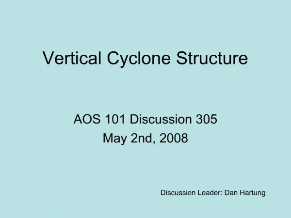
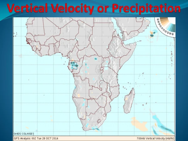
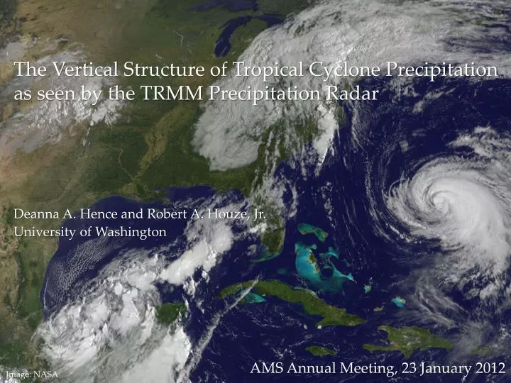
The Vertical Structure of Tropical Cyclone Precipitation as seen by the TRMM Precipitation Radar. Deanna A. Hence and Robert A. Houze , Jr. University of Washington. AMS Annual Meeting, 23 January 2012. Image: NASA. Eye. The current conceptual model. Houze (2010).

E N D
The Vertical Structure of Tropical Cyclone Precipitation as seen by the TRMM Precipitation Radar Deanna A. Hence and Robert A. Houze, Jr. University of Washington AMS Annual Meeting, 23 January 2012 Image: NASA
Eye The current conceptual model Houze (2010)
Objectives of this study… • Identify the typical vertical precipitation structures of tropical cyclone eyewalls and rainbands • Examine how these structures differ with radial distance and around the storm
TRMM: Scanning 40°N to 40°S since 1997 From NASA TRMM website (http://trmm.gsfc.nasa.gov/)
TRMM Precipitation Radar: 3-D View TRMM PR Reflectivity at 03:26 on 28 August 2005 dBZ 67 35 Reflectivity Crosssection dBZ 25N 67 Eyewall 12 Rainbands 3 8 km 35 4 22N 89W 86W 83W 3
Database Preparation: Center Details Super Typhoon Chaba TRMM PR Reflectivity on 24 August 2004 dBZ 67 • From the NHC and IBTRACS best track data • Center location • Eye diameter 35 20 3 135 140
Eyewall: Intense, Deep, Unique Distant Rainbands Eyewall Other Oceanic Convection Sharp Peak Rapid change 8 Height (km) 5 40 40 30 30 Reflectivity (dBZ) Hence and Houze (2010a)
One is not like the other Inner Eyewall TRMM PR Reflectivity at 14:43 on 23 Sep 2005 8 5 dBZ 67 25 35 35 Outer Eyewall 8 pinched 25N Height (km) 3 5 25 35 90W Reflectivity (dBZ
UR UL 20 DR DL Shear 135 140 Quadrant Analysis by Wind Shear Super Typhoon Chaba TRMM PR Reflectivity on 24 August 2004 dBZ 67 • From the NCEP Reanalysis winds • 200-800 hPA shear 35 Reflectivity (dBZ) 3
Single Eyewall Inner Eyewall Outer Eyewall Hence and Houze (2010b)
A New Conceptual Model Hence and Houze (2010b)
Inner Outer A New Spiral Rainband Model
Inner Outer Two Layers
Conclusions • The vertical precipitation structure of eyewalls: • Single eyewalls: deep, intense, with deeper and more intense outliers • Inner eyewalls: similar to single eyewalls but less deep • Outer eyewalls: intense, uniform, constrained by inner eyewall
Conclusions • The vertical precipitation structure of rainbands: • Inner region rainbands: uniform, stratiform, vertically constrained convection, upper separate from lower • Outer region rainbands: sparse, convective, upper more connected to lower