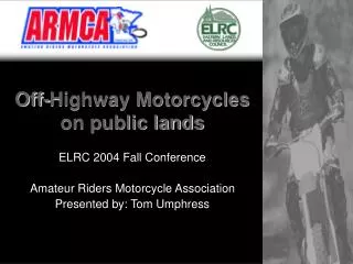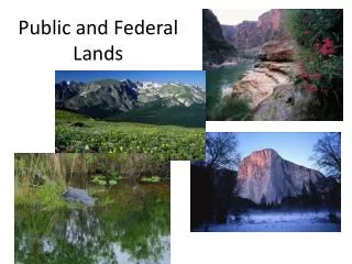
US Public Lands
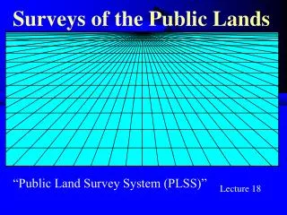
US Public Lands. Developed by Congress to divide the Louisiana Purchase Concepts Land laid out in regular, square blocks Any one farmer might manage 40 acres A group of farmers might collectively oversee 640 acres - 1 square mile (Township). US Public Lands: Checks. Initial Point

US Public Lands
E N D
Presentation Transcript
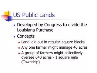
US Public Lands • Developed by Congress to divide the Louisiana Purchase • Concepts • Land laid out in regular, square blocks • Any one farmer might manage 40 acres • A group of farmers might collectively oversee 640 acres - 1 square mile (Township)
US Public Lands: Checks • Initial Point • Prime Meridian • Baseline • Lay out “Check” • 24 mi. by 24 mi. • Guide meridians • Standard parallels
US Public Lands: Townships Divide Check into Townships • 6 mi. x6 mi. • Still true NS • Tier 3 South,Range 3 West
Sections Divide Township into Sections • 1 mi. x 1 mi. • Parallel to east side • Error on W and N • Set section and quarter corners • Congress chose number scheme
Convergence Error: W and N Near Ada, MN T144N - Top of check,Max convergence. Section 6 – Farthest N & WMax error