Download
1 / 10
190 likes | 424 Views
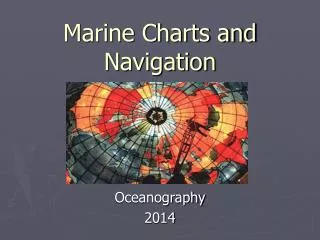
Marine Charts and Navigation. Oceanography 2014. Latitude Parallels of arc 0º-90º N-S from the equator to poles 1º = 60’ (1’=60 sec) small circles. Longitude Meridians of angle 0º (prime meridian) -180º E-W pole to pole Prime meridian is measured at Greenwich England great circles.

E N D
Marine Charts andNavigation Oceanography 2014
Latitude Parallels of arc 0º-90º N-S from the equator to poles 1º = 60’ (1’=60 sec) small circles Longitude Meridians of angle 0º (prime meridian) -180º E-W pole to pole Prime meridian is measured at Greenwich England great circles Earth Coordinate System
Marine Charts • Water depths • Configuration of the shoreline in coastal waters • Navigational lights, buoys, landmarks • Chart title block • Nature of the bottom (hrd, rky, g, sh, s, co) • North is the top, latitude scale on side, and longitude on top and bottom • Many charts cover less than a 1º of lat or long, so be careful when “fixing” a position
Units of Distance • Statute vs. nautical miles • 1 nautical mile = 1’ of latitude • 1 nautical mile = 1.15 statute miles • 1º of latitude = 60’ = 60 nautical miles • 1º = 60 nautical miles = 69 statute miles • Use a drafting compass or dividers and spread points to apply to chart bar scale to determine distance
Units of Speed • Knot = 1 nautical mile/hour • 1 knot x 1.85 = km/hr
Plotting a Course • Magnetic vs. true (geographic) North • Use the “Compass rose” on the chart • The compass is graduated from 0º-360º and broken into 32 points on the compass • Cardinal points (0, 90, 180, 270 degrees) • Intercardinal points (northeast, southeast, southwest, northwest) • Cardinal-intercardinal points (ie. east northeast = 67.5º and south southeast = 157.5º)
Cont’ Course • Intended direction of travel • Expressed in degrees • However, influenced by winds, currents, and pilot error Heading • The direction in which the ship is actually traveling regardless of prescribed course Bearing • Direction from one point to another • Expressed as an angle from North • Traditional expressed as relative parts of the vessel
Time and Earth’s Rotation • Earth rotates on its axis once in 24hrs = day • Each rotation is 360º = 24hrs • Longitude 0º (prime meridian at Greenwich England) when sun is directly overhead is 12:00 noon • Therefore at 180º the time is 12:00am (midnight) • Therefore, every 15º of longitude E or W of Greenwich = 1 hour of time (Zulu or Z. time) • 360º/24 = 15º
D.R. Navigation • Also known as Dead Reckoning or “Ded” Reckoning • Method of navigating using the following from a KNOWN position: • Time • Speed • Distance • Direction • Note: Does not account for error or currents
Formulas • Distance = Speed x Time • Speed = Distance / Time • Time = Distance / Speed Use 60 D = S * T (for minutes) D S T