Download
1 / 25
260 likes | 394 Views
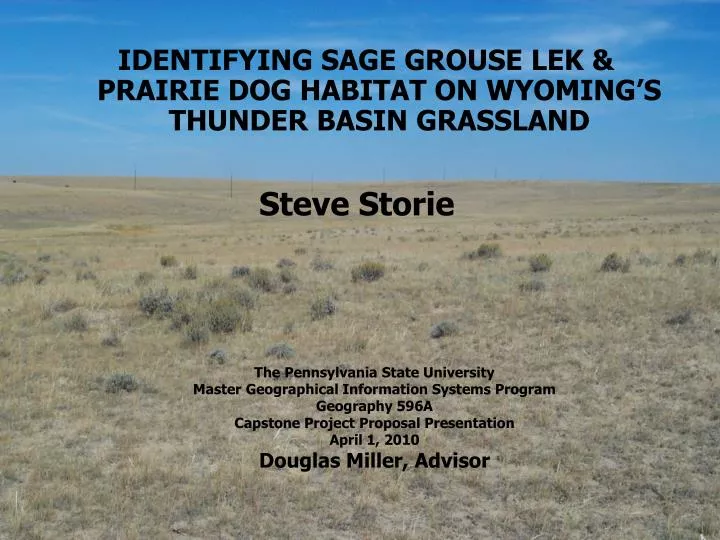
IDENTIFYING SAGE GROUSE LEK & PRAIRIE DOG HABITAT ON WYOMING’S THUNDER BASIN GRASSLAND. Steve Storie. The Pennsylvania State University Master Geographical Information Systems Program Geography 596A Capstone Project Proposal Presentation April 1, 2010 Douglas Miller, Advisor. Overview.

E N D
IDENTIFYING SAGE GROUSE LEK & PRAIRIE DOG HABITAT ON WYOMING’S THUNDER BASIN GRASSLAND Steve Storie The Pennsylvania State University Master Geographical Information Systems Program Geography 596A Capstone Project Proposal Presentation April 1, 2010 Douglas Miller, Advisor
Overview • Study Area • Project Objectives • Data • Methods • Timeline • Anticipated Results
Study Area Objectives Data Methods Anticipated Results Schedule Thunder Basin Grassland Prairie Ecosystem Association (TBGPEA) • Formed in 1999 to address land management issues • Provides voluntary non-profit privately-led efforts • Partners with government • Backs responsible economic use. • Demonstrates effective stewardship.
Study Area Objectives Data Methods Anticipated Results Schedule ENVIRONMENTAL STUDIES • History, ecology, and economy discussed in 2001 symposium; • Methods of formulating and implementing an ecosystem management plan discussed in 2004; • Ecological assessment of terrestrial ecosystems by EMRI completed in 2008.
Study Area Objectives Data Methods Anticipated Results Schedule LAND OWNERSHIP • Private (members)- 25% • Private (non-members)- 34% • US Forest Service- 31% • Bureau of Land Management- 4% • State of Wyoming- 6% Land Ownership in Study Area
Study Area Objectives Data Methods Anticipated Results Schedule ISSUES • Land Uses • Grazing • Wildlife • Coal, oil, & gas extraction • Land Management • Maintain range • Maintain wildlife habitat • Reclaim mined land Large Coal Mine Oil Pump Station
Study Area Objectives Data Methods Anticipated Results Schedule RANGE MANAGEMENT ISSUES • Exotic plant species • 41% of ecosites with > 5% exotic cover • Influenced by grazing and fire management • Reseeding go-back lands • Previously farmed lands • Abandoned prairie dog towns Cheat Grass Rabbit by Abandoned Prairie Dog Hole
Study Area Objectives Data Methods Anticipated Results Schedule WILDLIFE ISSUES • Sage grouse • Half of population in Wyoming • Habitat dividing • Population declining • Prairie dogs • Holes provide habitat for other animals • Nuisance to ranchers Male Sage Grouse (Centrocercus urophasianus) Prairie Dogs (Cynomys ludovicianus)
Study Area Objectives Data Methods Anticipated Results Schedule ENERGY ISSUES • Reseed range for grazing • Minimize impact to existing wildlife habitat • Reconstruct wildlife habitat Cattle Grazing on Reclaimed Land Pronghorn Grazing on Reclaimed Land
Study Area Objectives Data Methods Anticipated Results Schedule MANAGEMENT CHALLENGES • Changing traditional attitudes about solving public and private land issues; • Getting a management consensus between multiple private and government entities; • Implementing management plans across private and public land ownership boundaries.
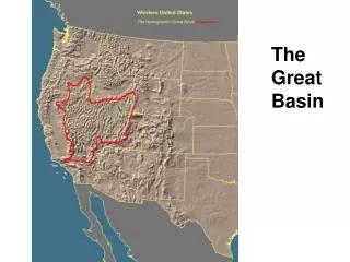
Study Area Objectives Data Methods Anticipated Results Schedule PHYSIOGRAPHY • Transition area between Great Plains and Rocky Mountains to the west. • Elevation ranges from 4000 to 5300 feet. • Surface geology consists of weathered bedrock mixed with alluvium, eolian, and slopewash. • Desert and prairie soils. Wyoming Landforms
Study Area Objectives Data Methods Anticipated Results Schedule HYDROLOGY & CLIMATE Cheyenne River Bridge • Drainage east to Cheyenne and Missouri Rivers. • Hot summers and cold winters. • 12.5 inches of precipitation. Study Area in Summer Study Area in Winter
Study Area Objectives Data Methods Anticipated Results Schedule OBJECTIVES • Locate and characterize prairie dog town and sage grouse lek habitat; • Identify the management challenges if habitat is favorable for both prairie dogs and sage grouse. • Provide management recommendations Male Sage Grouse Strutting at a Lek Prairie Dogs
Study Area Objectives Data Methods Anticipated Results Schedule POINT & LINE DATA Sage Grouse Leks and Drainages
Study Area Objectives Data Methods Anticipated Results Schedule POLYGON DATA
Study Area Objectives Data Methods Anticipated Results Schedule RASTER DATA Elevation Raster Data
Study Area Objectives Data Methods Anticipated Results Schedule METHODS- OVERVIEW • Retrieve all data • Identify suitable sage grouse and prairie dog habitat on study area • Characterize habitat of actual sage grouse and prairie dog town locations • Provide management recommendations to TBGPEA
Study Area Objectives Data Methods Anticipated Results Schedule METHODS- CREATE RASTERS • Create slope and slope aspect rasters from elevation data; • Create buffers around point and line data; • Create rasters of polygon and buffered data. Slope Raster Data
Study Area Objectives Data Methods Anticipated Results Schedule METHODS- RECLASSIFY RASTER DATA • Reclassify rasters at prairie dog town and sage grouse lek locations to identify habitat characteristics; • Convert reclassified rasters to point shapefiles for statistical analyses; Slope Less Than Five Percent
Study Area Objectives Data Methods Anticipated Results Schedule METHODS- FLOW CHART Obtain Point Data Obtain Line Data Obtain Polygon Data Obtain Raster Data Create Buffers Convert to Raster Reclassify Rasters Identify Suitable Habitat by Raster Calculation Prepare Maps of Suitable Habitat Research Best Management Practices Provide Best Practices Recommendations to TBGPEA
Study Area Objectives Data Methods Anticipated Results Schedule METHODS- STATISTICAL ANALYSES • ArcGIS spatial analyst tools; • ArcGIS spatial statistics tools; • Point pattern analysis; • Histograms; • Normal qq plots. Slope Histogram
Study Area Objectives Data Methods Anticipated Results Schedule DELIVERABLES • Provide a habitat suitability index • Maps showing suitable sage grouse and prairie dog habitat • Recommended best management practices for specific areas
Study Area Objectives Data Methods Anticipated Results Schedule ANTICIPATED RESULTS • Identify typical habitat for existing prairie dog towns and sage grouse leks. • Identify management conflicts between prairie dog towns and sage grouse leks. • Provide best management practices to TBGPEA.
Study Area Objectives Data Methods Anticipated Results Schedule SCHEDULE