Download
1 / 16
160 likes | 220 Views
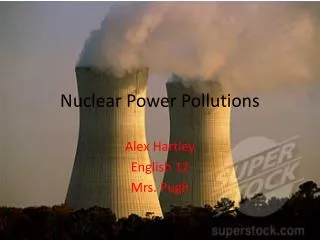
Nuclear waste? …not in my backyard! Exploring the capabilities of GIS with online tools. Steve Carver & Andy Evans School of Geography. Session outline. Introduction Part 1. Concepts and technical details Part 2. Interactive session Part 3. Q&A. Introduction.

E N D
Nuclear waste? …not in my backyard!Exploring the capabilities of GIS with online tools Steve Carver & Andy Evans School of Geography
Session outline • Introduction • Part 1. Concepts and technical details • Part 2. Interactive session • Part 3. Q&A
Introduction • Teaching Geographical Information Systems (GIS) • Steep and long learning curve • Large classes • Access to teaching expertise and facilities? • Student skill base? • Need for e-learning materials
Part 1: Web-based GIS • Originally developed as research tool • Spatial Decision Support Systems (SDSS) • Public Participation GIS (PPGIS) • Social science objectives: • Nuclear waste disposal and NIMBYism • Public perception (risk, landscape values, etc.) • Landscape design • Local planning issues
Teaching GIS • GIS as a paradigm in Geography • Need to teaching to increasing numbers of students at UG and PG level • Emphasis on quantitative methods, digital maps and spatial data • GIS software is complex, expensive and frightening! • Availability of suitable CAL software? • Or the web?
Web-based teaching • Safe learning environment? • Accessible to all • Non-software specific • Ease of use • Focus on learning theory and concepts • Practice • Avoidance of technical issues • Low skills overhead
Technical detail The systems are built as Applets. These are relatively easy to build into a webpage. Drop the Applet jar file and the data into your web directory. The look and data are set up with a series of Parameter tags in the webpage code. If you want to collect the data you’ll need a simple PERL script to do this.
Advice for online GIS • Stick to less than 8 options at a time. • Present data so that it is easy to get an overview, but allows for increasingly detailed exploration. • Tree structure • Walkthrough/overview pages with notes • Be aware that the first time, people may just click through to get used to the system.
Further information • http://www.ccg.leeds.ac.uk/democracy/ • Recommendations: “Twenty Recommendations for Online Democracy sites” • Teaching: Carver, Evans, and Kingston: Journal of Geography in Higher Education • Analysis: Evans, Kingston, and Carver Journal of Geographical Systems 6(2)p117
Part 2: Interactive session • Use of “nuclear waste” GIS • Where to bury UK’s nuclear waste? • E-learning “nugget” • Explore, Experiment, Formulate http://www.ccg.leeds.ac.uk/teaching/nuclearwaste/
Part 3: Q&A session • Any questions? • Suggestions for improvement? • Future developments? • Other applications?