Download
1 / 22
220 likes | 364 Views
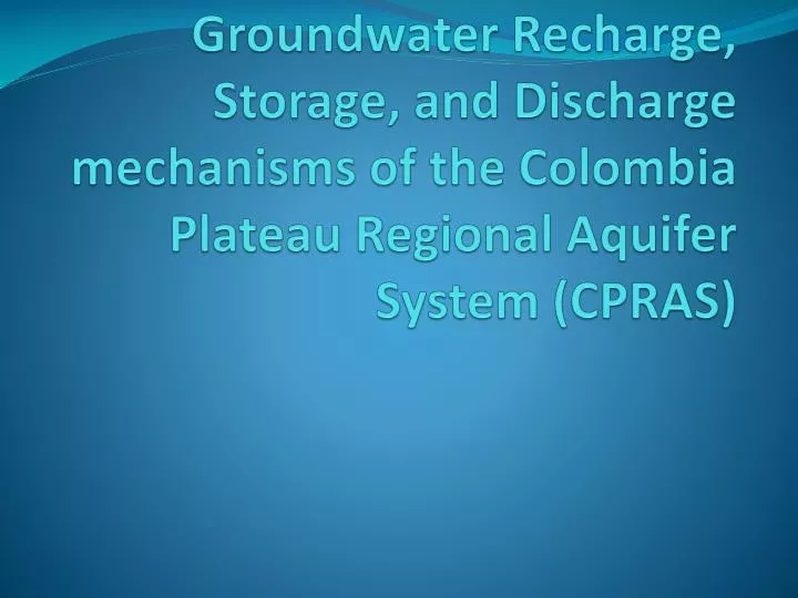
Groundwater Recharge, Storage, and Discharge mechanisms of the Colombia Plateau Regional Aquifer System (CPRAS). OUTLINE. ORGANIZATION OF PRESENTATION Introduction/Setup Purpose Location Geology Hydrogeologic Setup Mechanisms/Analysis Recharge to aquifer Storage in aquifer

E N D
Groundwater Recharge, Storage, and Discharge mechanisms of the Colombia Plateau Regional Aquifer System (CPRAS)
OUTLINE • ORGANIZATION OF PRESENTATION • Introduction/Setup • Purpose • Location • Geology • Hydrogeologic Setup • Mechanisms/Analysis • Recharge to aquifer • Storage in aquifer • Discharge from aquifer • Summary/Conclusion
IntroductionInformation and Analysis Purpose Location Geologic setup
Purpose • MAIN QUESTIONS: • What are the mechanisms of recharge storage and discharge within the CPRAS? • What components have not been looked at and what else is possible for the above mentioned parameters?
Location • Columbia River Drainage Basin. • Mountainous perimeter. • Flat interior.
Geology • Deep basin with large mountains to the east. • 7 exploration oil wells project the distribution of rocks throughout the deepest parts of the plateau. • Hundreds of basalt flows filled in the basin known as the Columbia River Basalt Group (CRBG). • As the first basalt flows flooded the basin a water bodies were overridden and formed pillow basalt. http://www.summitpost.org/mount-fairweather/250372/c-248612
Geology • Cooling structures formed • Sedimentary environments developed atop basalt flows and filled in void spaces. • Additional lava flows developed atop sed. Environments. • This sequence of events continued until only mountain tops were left (steptoes)
Faulting and Folding • Steep east-west trending anticlines on western half. • Monoclines have shallow dip southward from the northern boundary. • Steptoes on the eastern side.
Hydrogeologic Setup • 3 main basalt groups serve as principal aquifers. • Saddle Mountain Unit • Wanapum Unit • Grande Ronde Unit • Overburden Unit consists of loess deposits.
Intraflow and Interflow zones • Intraflow zones consist of: • lower pillow basalt complex from riding over a river • Columnar jointing or dense crystalline interior • Vesicular tops • Possible sediment development. • Interflow zones generally transport water horizontally and consist of: • Vesicular tops of lava flows • Sedimentary packages • Pillow basalt complexes on bottom of younger flow.
Recharge Precipitation Surface Water Bodies Structures
Precipitation • < 8 in/yr. in central portion (natural) • Up to 60 in/yr. on boundaries (natural) • Additional recharge comes in the form of Irrigation • Predevelopment recharge (2.72 in/yr) average • Current conditions recharge (4.24 in/yr) average
Surface Waters • Interflow zones near surface may be recharged by surface waters such as canals.
Structures • Faults can hydraulically connect or interrupt interflow zones. • Steptoes provide infiltration paths. • Cooling joints provide recharge paths to lower aquifers.
Storage Mechanisms Igneous Sedimentary Structural
Igneous/Sedimentary • Mafic units have a median storage coefficient as low as 10^-6 • The unconfined sedimentary unit has a storage coefficient as high as 10^-2 • Water is stored in vertical cooling fractures and in interflow zones between lava flows.
Structural/Groundwater Catchment • Faults can create barriers to trap groundwater. • Steptoes provide infiltration paths.
Primarily through pumping for irrigation of .5 million acres of farm land. • Pumping accounts for approximately twice as much discharge than recharge.
Summary/Answers to Questions • Primary mechanisms of Recharge • Natural Precipitation at boundaries of system. • Anthropogenic recharge and natural recharge in central. • Primary mechanisms of Storage • Interflow zones • Groundwater Catchments • Primary mechanisms of Discharge • Pumping