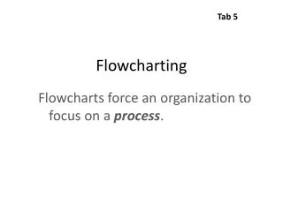
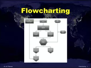
Flowcharting
This collection of flowcharting resources by Lo and Yeung (2002) provides comprehensive insights into the use of Geographic Information Systems (GIS) for sustainable forestry and associated applications. The works cover site analysis, landslide susceptibility assessment, and quality of life evaluations, presenting sophisticated concepts and techniques that enhance decision-making processes in environmental management. Ideal for researchers, practitioners, and students interested in the integration of GIS technology in environmental studies.

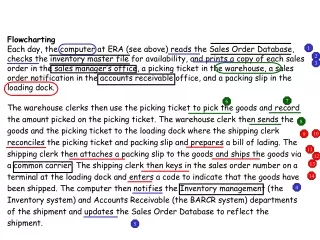
Flowcharting
E N D
Presentation Transcript
Flowcharting Flowcharting
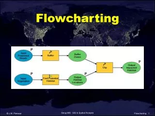
Sustainable Forestry Lo & Yeung, 2002. Concepts & Techniques of Geographic Information Systems. Prentice-Hall. Flowcharting
Site Analysis Chang, 2002. Introduction to Geographic Information Systems. McGraw-Hill. Flowcharting
Landslide Susceptibility Lo & Yeung, 2002. Concepts & Techniques of Geographic Information Systems. Prentice-Hall. Flowcharting
Quality of Life Lo & Yeung, 2002. Concepts & Techniques of Geographic Information Systems. Prentice-Hall. Flowcharting