Download

1 / 44
440 likes | 532 Views
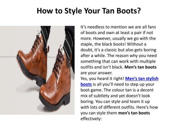
Explore enhancements for vector mapping with FeatureLayer, leveraging Web technologies for simple, fast, smart, and powerful data visualization on the client side. Scale, size, rotation, color, classified data, and more.

E N D
Rethinking How You Style Your Maps Jeremy Bartley Jim Herries
Enhancements to support better vector mapping Jeremy Bartley Rethinking How You Style Your Maps
Better Vector Mapping -- FeatureLayer • FeatureLayer is a key component of vector mapping that represents the Data on the client side • Simple, Fast, Smart, Powerful • Leverages the key characteristics of the Web • SVG, Canvas, CSS, HTTP Caching, Workers • Simple way to visualize your data on the client Rethinking How You Style Your Maps
Scale proportionally by size Rethinking How You Style Your Maps
Scale proportionally by size Rethinking How You Style Your Maps
Scale proportionally by size Rethinking How You Style Your Maps
Scale proportionally by size Rethinking How You Style Your Maps
Scale proportionally by size Rethinking How You Style Your Maps
Continuous Size – Center of Polygon Rethinking How You Style Your Maps
Continuous Size – Center of Polygon Rethinking How You Style Your Maps
Scale proportionally by size + Rotation Rethinking How You Style Your Maps
Scale proportionally by size + Rotation Rethinking How You Style Your Maps
Scale proportionally by size + Rotation + Color Rethinking How You Style Your Maps
Scale proportionally by size + Rotation + Color Rethinking How You Style Your Maps
Scale by size + Rotation + Color with Labels Rethinking How You Style Your Maps
Scale by size + Rotation + Color with Labels Rethinking How You Style Your Maps
Classified into 6 classes Rethinking How You Style Your Maps
Continuous Color Rethinking How You Style Your Maps
Continuous Color Rethinking How You Style Your Maps
Dot Density Rethinking How You Style Your Maps
Dot Density Rethinking How You Style Your Maps
Style for value Jim Herries Rethinking How You Style Your Maps
Counts and rates are valuable attributes to have Rethinking How You Style Your Maps
Watches NCAA Men’s Basketball on TV (click map to view) Rethinking How You Style Your Maps
Watches NBA on TV (click map to view) Rethinking How You Style Your Maps
Watches WNBA on TV (click map to view) Rethinking How You Style Your Maps
NCAA v. WNBA on TV (click map to view) Rethinking How You Style Your Maps
Corn Production (click map to view) Rethinking How You Style Your Maps
Watches Basketball on TV (click map to view) Rethinking How You Style Your Maps
Working Classes in Bay Area (click map to view) Rethinking How You Style Your Maps
Working Classes in Bay Area (click map to view) Rethinking How You Style Your Maps
Watches NCAA Tournament on TV (click map to view) Rethinking How You Style Your Maps
Watches NCAA Men’s Basketball on TV (click map to view) Rethinking How You Style Your Maps
Watches NCAA Men’s Basketball on TV (click map to view) Rethinking How You Style Your Maps
Watches NCAA Men’s Basketball on TV (click map to view) Rethinking How You Style Your Maps
Watches NCAA Men’s Basketball on TV (click map to view) Rethinking How You Style Your Maps
Watches NCAA Men’s Basketball on TV (click map to view) Rethinking How You Style Your Maps
Resources • http://developers.arcgis.com • http://blogs.esri.com/esri/arcgis/ • http://www.arcgis.com Rethinking How You Style Your Maps
Thank you… Please fill out the session survey: First Offering ID: 946 / 1357 Second Offering ID: 946 / 1244 Online – www.esri.com/ucsessionsurveys Paper – pick up and put in drop box Rethinking How You Style Your Maps
Notes to presenters: • Please include the following slide at the end of your presentation encouraging the audience to fill out the session surveys and how to do so. • These slides should be included for: • 75 minute Technical Workshops • 30 minute Technical Workshops • Demo theaters (paper only) Rethinking How You Style Your Maps