Download
1 / 10
100 likes | 166 Views
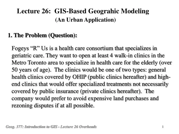
Lecture 26: GIS-Based Geograhic Modeling (An Urban Application). 1. The Problem (Question):.

E N D
Lecture 26: GIS-Based Geograhic Modeling (An Urban Application) 1. The Problem (Question): Fogeys “R” Us is a health care consortium that specializes in geriatric care. They want to open at least 4 walk-in clinics in the Metro Toronto area to specialize in health care for the elderly (over 50 years of age). The clinics would be one of two types: general health clinics covered by OHIP (public clinics hereafter) and high-end clinics that would offer specialized treatments not necessarily covered by public insurance (private clinics hereafter). The company would prefer to avoid expensive land purchases and rezoning disputes if at all possible.
Lecture 26: GIS-Based Geograhic Modeling (An Urban Application) 2. Think through the problem (Conceptualization): 2.1 Question and Requirements Determine the prospective areas for the 4 clinic locations for old people. 2 public clinics: cares covered by OHIP 2 private clinics: cares not covered by OHIP The clinics should be on areas of cheap land and zoned for commercial purposes
2. Think through the problem (Conceptualization): (continued …) 2.2 Analysis of the Question and Requirements For public clinics: Put them in areas where: Low land values and, (What is low?) Land zoned for commercial and Surrounded by: (What is meant by “surrounded”?) High percentage of population over 50 (What is high?) For private clinics: Put them in areas where: Low land values and, Land zoned for commercial and, Surrounded by: High percentage of population over 50 and, High income and, (What is high income?)
2. Think through the problem (Conceptualization): (continued …) 2.3 Essential Data Layers: For the Public clinics: - A map showing where the high percent of old people are - A map of land values - A map of zoning For the Private clinics: - In addition to the above, a map showing the distribution of high income people 2.4 Primary Data Layers: Census data Assessed land value map Zoning map 2.5 Data Sources Statistics Canada Assessor’s office City Planning department (Conceptualization Diagram)
3. Solve it using GIS (Implementation): 3.1 Think through the steps (Virtual Implementation): 1) Data input and data preparation (compiling the database of primary data layers) Digitizing (paper maps) Geocoding (data in records such as land values) Alignment (geo-referencing/registration) 2) Generate the data layers of essential information Map of high percent of old people (from Census Data) Map of low land value (from Assessor’s record) Map of Zoning (from Planning office) Map of high income (from Census Data)
3. Solve it using GIS (Implementation): (continued …) 3.1 Think through the steps (Virtual Implementation) (continued …): 1) Data input and data preparation (compiling the database of primary data layers) Digitizing (paper maps) Geocoding (data in records such as land values) Alignment (geo-referencing/registration) 2) Generate the data layers of essential information Map of high percent of old people (from Census Data) Map of low land value (from Assessor’s record) Map of Zoning (from Planning office) Map of high income (from Census Data)
3. Solve it using GIS (Implementation): (continued …) 3.1 Think through the steps (Virtual Implementation) (continued …): 3) Produce the suitability map For public clinics: (1) Combine the land value with the zoning data layers to produce one data layer which shows the potential locations of the clinics. (2) For each potential location, find out the number of areas with high percent of old people around the site (3) Rank the sites by the number of areas with high percent of old people around the site
3. Solve it using GIS (Implementation): (continued …) • 3.1 Think through the steps (Virtual Implementation) (continued …): • 3) Produce the suitability map (continued …) • For private clinics: • (a) Combine the land value with the zoning data layers to • produce one data layer which shows the potential • locations of the clinics. • (b) For each potential location, find out the number of areas • with high percent of old people and with high income • around the site • (c) Rank the sites by the number of areas with high percent • of old people and high income around the site • (Virtual Implementation Diagram)
3. Solve it using GIS (Implementation): (continued …) 3.2 Develop a detailed plan (Pseudo codes) (Example of Pseudo Coding) 3.3 Do it using a specific GIS software 4. Work through a couple of locations to verify (The Result Figure) (Question: Are there other ways of selecting the sites?)
Questions: (Lectures 25-26) 1. What is Spatial Modeling? What is GIS-based Spatial Modeling? 2. What are the steps in spatial modeling using GIS? 3. What is conceptualization and what is implementation? 4. Why do people say that domain knowledge is extremely important in GIS-based spatial modeling? Give an example.