Download
1 / 20
200 likes | 356 Views
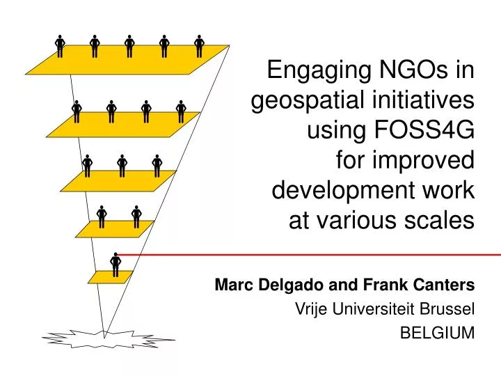
. . . . . Engaging NGOs in geospatial initiatives using FOSS4G for improved development work at various scales. Marc Delgado and Frank Canters Vrije Universiteit Brussel BELGIUM. Grassroots-led real-time disaster reporting.

E N D
Engaging NGOs in geospatial initiatives using FOSS4G for improved development work at various scales Marc Delgado and Frank Canters Vrije Universiteit Brussel BELGIUM
Grassroots-led real-time disaster reporting http://maps.google.com/maps/ms?msa=0&msid=115956470311312588880.000474a230d17e01a3021&ie=UT%20F8&z=13
NGOs in the Philippines • 1986: Return of democratic government • 1992: UN Conference on Environment and Development • Over 3,000 NGOs (2007 estimate) • Working Themes • Poverty reduction • Political reform advocacy • Environmental management
NGOs have started using Geospatial Technologies, but its use is hampered by: Lack of technical skills. Sustaining financial resources.
Case study from 3 Projects National: Poverty mapping Institutional: Targeting sites for water taps Community: Natural resource management
Framework of the Projects I Local Knowledge, data gathering Community Research Experience Community trust Funding sources P NGO PO G Administrative support Access to national databases Funding sources Researcher GIS Innovation Skills training S
Participatory GIS (PGIS) • Integration of local knowledge and stakeholders’ perspectives in GIS. • The core of PGIS is participation through trainings and other capacity-building activities. • Local stakeholders as trueowners and stewards of spatial information and its management.
FOSS4G tools used Easy to use? Digitization of paper maps: Wintopo version 1.7 Management of GPS data: DNR-Garmin version 5.4.1 GIS-based activities: Mapwindow GIS ver 4.6 22% No 78 % Yes 12% No 88% Yes 18% No 82% Yes
Scaling the Projects 10 GIS users National Number of Stakeholders 6 GIS users Institutional Community 2 GIS users Geographic extent • Basic characteristics of our stakeholders: • Non-geographers. • Low to medium computer users (Windows-based). • Development workers facing real-world problems.
Scaling the issues: Building FOSS4G skills with trainings Duration of trainings (man hours) National 240 hours Institutional 600 hours Community 1500 hours Man hours in a month
Scaling the issues: Data requirements and accessibility Community Institutional National National Census databases Primary data (Survey, interviews, etc.) red-tape Secondary Data (from journals, publications, etc.) Maps in digital format Non-existence of spatial data infrastructure make it difficult to acquire maps!
Funding for GIS projects is crucial. Doh. -Homer Simpson
Project Budget: Business as usual scenario Software costs takes up 30-35% Training and data management gets the least priority. Software costs 35% Hardware Costs 30% Training & data Management 5% Data acquisition & processing 30%
Project Budget: Using FOSS4G scenario Focus on training of potential users. Data management is separately funded. Sustainability of projects is extended as costs are re-directed to building capacity. Training 25% Hardware Costs 30% Data Management 15% Data acquisition & processing 30%
Scaling the issues: Sustainability Planned duration of the projects (without FOSS4G) 1 year Institutional 2 years National Community 6 months Years
Scaling the issues: Sustainability Current duration of the projects (with FOSS4G) 2nd year Institutional 4th year National Community 28th month Years
Lessons Learned 1. Geospatial requirements vary in terms of: - skills-training requirements. - data requirements and acquisition. - sustainability. 2. The use if FOSS4G tools can help sustain the projects by - minimising costs on software. - re-focusing efforts on training and data management.
Lessons Learned 3. Building spatial data infrastructures is important to access to spatial information. 4. Funding sources to support GIT work is crucial, but using FOSS4G can be used as a leverage when applying for financial support. 5. Sustainability of GIT Projects rely on commitment of stakeholders, not just on the availability of FOSS4G tools.
Thank you very much! mdelgado@vub.ac.be