Download
1 / 16
160 likes | 262 Views
Learn about seizing new opportunities amidst constraints in GIS coordination for enhanced elevation data in Tennessee. Discover the key steps, activities, and strategies to develop a solid business plan for elevation data in the state.

E N D
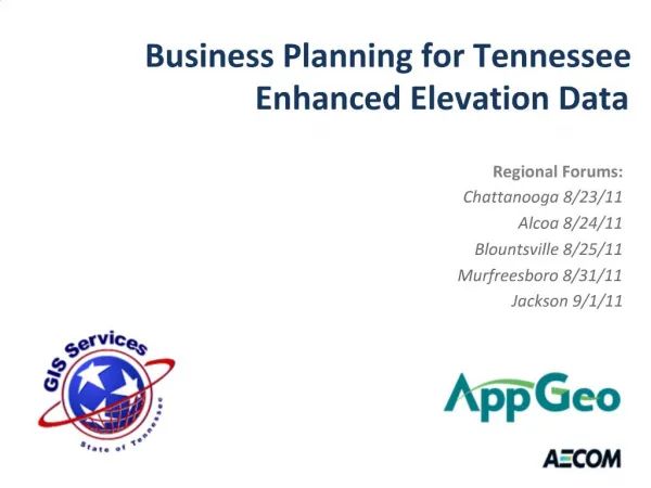
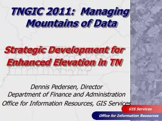
TNGIC 2011: Managing Mountains of Data Strategic Development for Enhanced Elevation in TN Dennis Pedersen, DirectorDepartment of Finance and Administration Office for Information Resources, GIS Services
When you come to a fork in the road… Take it!!! ~ Yogi Berra
Constraints • External (things we can’t control) • Poor Economy • GIS Budget cuts/new funding priorities • “Hiring Freeze” • Loss of Exec. GIS “Champion”/New Leadership • Internal (things we can control) • Attitude, Motivation, Desire to learn new things • Adapt to change….must keep moving! Constraints…or New Opportunities for GIS Coordination!
OIR-GIS - “Setting a new Course” • Goal: Develop statewide enhanced elevation GIS dataset • Key Step: Develop a business plan • Why should TN invest in elevation data? • Costs and Benefits • Requires input from TNGIC/GIS community
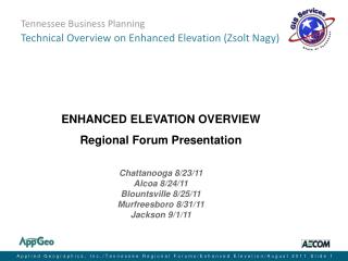
Setting the Stage for Elevation Business Planning • What is LiDAR and related GIS elevation data products? – Tim Blak, Dewberry • NC Elevation/LiDAR experience – Zsolt Nagy, AECOM • National Elevation Assessment – Keith McFadden, USGS • 2011 Elevation Business Plan Activities – Dennis Pedersen
OIR-GIS - “Setting a new Course” • Goal: Develop statewide enhanced elevation GIS dataset • 3 Key Elements: • Develop a Business Plan • Identify Exec. Champion • Secure Funding • Proven Strategy with TNBMP • How is TN going to develop the Business Plan?
Enhanced Elevation Business Plan Strategy • TN Committee on Enhanced Elevation • Several unsuccessful attempts at “pilot projects” • Participate in NSGIC “50 States Initiative” • Managed by FGDC • Issues annual “CAP” grants to facilitate statewide GIS coordination efforts (business plan development) • OIR GIS Services submitted grant application for Enhanced Elevation Business Plan (Dec 2010) • FGDC awarded Category 3 CAP grant to New Jersey and Tennessee (Feb 2011)
Enhanced Elevation Business Plan Strategy • Use CAP grant funding to hire contractor • Developed RFP (Jan-Feb 2011) • Evaluations of 3 proposals complete: 3/31/11 • State issued “Preliminary Award” to:
Business Plan: Scope of Work • Facilitate Regional Workshops • ½ Day meetings across TN to gather business requirements for enhanced elevation • Kingsport • Knoxville • Chattanooga • Nashville • Jackson • Exact location and dates TBA (June 2011?)
Business Plan: Scope of Work • Conduct Interviews with TN Elevation Committee members – June/July 2011 • Develop draft Business Plan and provide opportunity for review/feedback – Aug. 2011 • Present results of draft Business Plan at Mid TN GIS User Forum – Fall 2011 • Present results to Information Systems Council – Nov 2011 • Submit final Business Plan to OIR-GIS Services and FGDC
Elevation Business Plan Success…. …..depends on your involvement!!! • Improve communication/collaborate • “Where good Ideas Come From” • Be an advocate for GIS